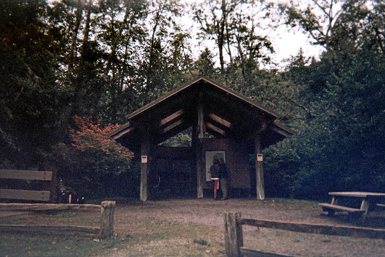
Cape Alava Trip Report

Cape Alava, Washington - westernmost point in the Lower 48 states

Date: August 14, 2009
Author: Adam Helman

Low Tide Visit to Cannonball Island

note 1: All coordinates employ the WGS84 datum.
note 2: Click on any image for enlargement.

This effort was part of a larger journey collecting Idaho, Montana, and Washington county highpoints in late July and August 2009.

Access to the Northwest Coast is at logical mile marker 203.8 on Route 101, 44 miles from central Port Angeles and 12 miles from Forks, Washington. This junction with Washington Route 113 is at or very near the vanishingly small community of Sappho.

kiosk
information kiosk
Zero the odometer and turn north onto Route 113. Stay straight at 10 miles, which puts you on Route 112; and pass through Clallam Bay at 16 miles where gasoline is available. Parallel the north shore 4 additional miles, heading generally west, and turn left (after 20 miles total) onto a paved road with a Park Service sign.

It is now 21 more miles to an Olympic National Park ranger station. Allow 1 1/4 hours to get there from Route 101, a total of 41 road miles. CBC radio from Victoria, B.C. at 900 kHz has interesting programming to pass the miles.

boardwalk
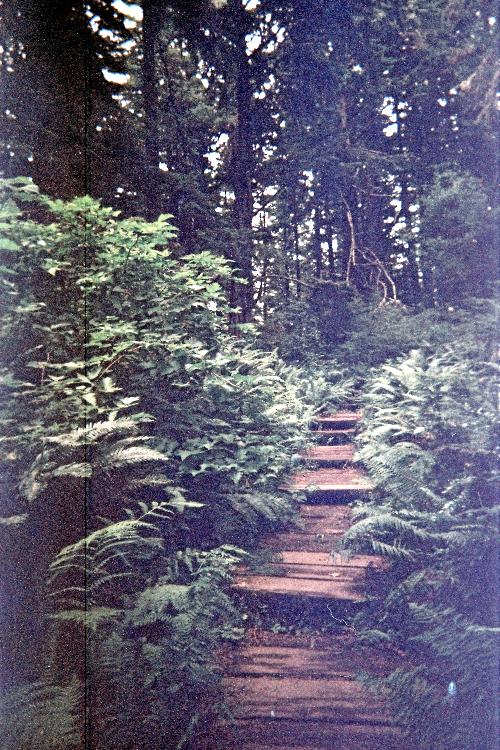
Wood boardwalk to Cape Alava.
A "T"-junction prevents further forward progress. Turn right and drive 0.1 mile to parking on a gravel lot on your left (south). There is a pay station at the lot's eastern end.

Taking my chances with a windshield ticket, I paid nothing since as I was about to enter the main portion of Olympic National Park the very next day, and felt it absurd to double-pay for entering the same park in such close time proximity.

There are two trails leading to the coast. You want the trail leading to Cape Alava rather than the one leading southwest. The trailhead for both is immediately south of a large information kiosk south of the ranger station office buildings. Get there from the east end of the carpark by walking over a footbridge. A grass lawn between ranger station offices and the trailhead has coordinates (48.15397° N, 124.66916° W), elevation 33 feet - the actual trailhead being perhaps 25 yards south.

sign
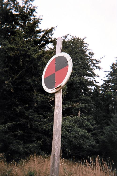
This beachfront sign
pinpoints the trail
location for your return.
The trail includes a paved bridge crossing after a minute, and, three minutes from the kiosk, bear right at a trail junction. The left fork takes one on the southwest-trending trail which is also bound for the coast but reaches it too far south of your goal.

It is 3.3 miles to coastline from the junction. Perhaps 95+% of the distance is on wood boardwalk. Some sections are very worn, and, indeed, a few wood panels are absent. I estimate 200 feet of uphill travel in either direction, making for a total elevation gain of 400 feet.

Ozette
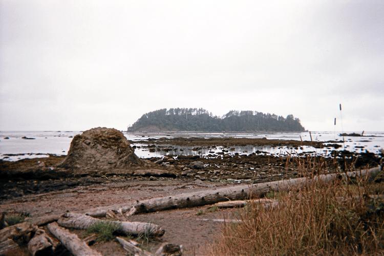
Ozette Island seen on
arriving at the beach.
Break-out of the forest at (48.16074° N, 124.73159° W) with an indicated elevation of 22 feet. Here (see photograph) is a pole with red/black checkered pattern that is your return point.

The westernmost shore has a latitude of 48.16402°, and is located about 1,000 feet north of this flagpole. Go there and walk as far west as the tide permits.

Time the visit for one hour before low tide (as I did). Then it is possible to walk onto Tskawahya Island, known also as "Cannonball Island". Walk north along the beach and then west to the island. Signs indicate "No Trespassing" and that the island should not be climbed.

Cannonball Island
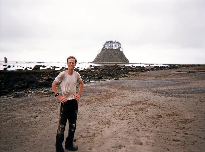
Adam and Cannonball Island.
Once at the island's eastern side walk counterclockwise around the north side, remaining along rocks to avoid extremely slippery kelp beds. This will get you to the western side of Cannonball Island, where I obtained (48.17155° N, 124.73621° W), indicated elevation 7 feet. It might be possible to circumnavigate the island on-foot.

Return via the path taken.

The day after our ascent of Mount Olympus, Dave Covill and Don Nelsen paddled a rubber raft to Ozette Island.

The round-trip consumes 8 1/2 miles, and, as noted, perhaps 400 feet of elevation gain and loss.

west slope shore
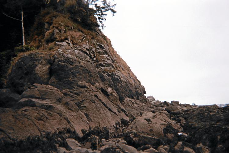
West slope of Cannonball Island -
westernmost point of the
48 state mainland.
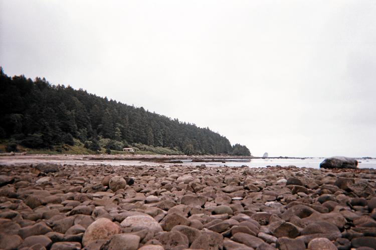
View southeast to shoreline
from the spit connecting
Cannonball Island.