Date: July 29, 2009
Author: Adam Helman
|
|
|
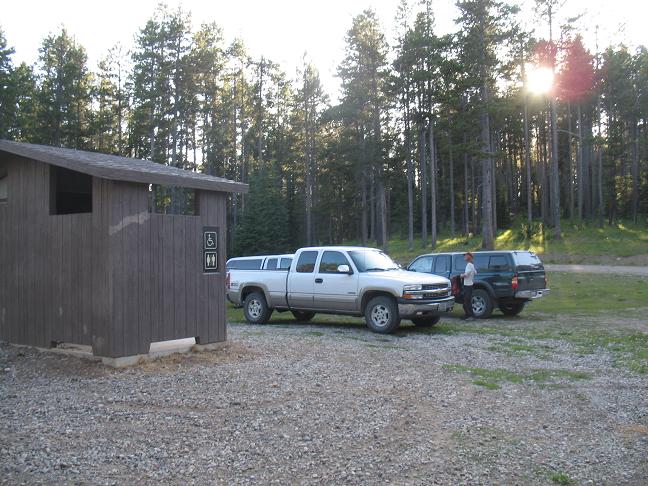
trailhead parking |
|
|
|
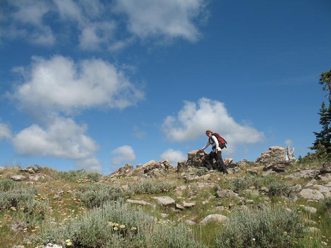
Summit of Garns Mountain with Adam. |
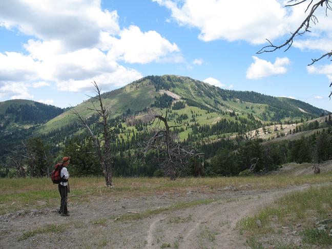
Piney Peak coming from Garns Mountain. |