| County Highpoint Entertainment Maps |
|


 )
in that order. Numerical values in parentheses are the minimum
numbers of counties required to realize the given geographic links.
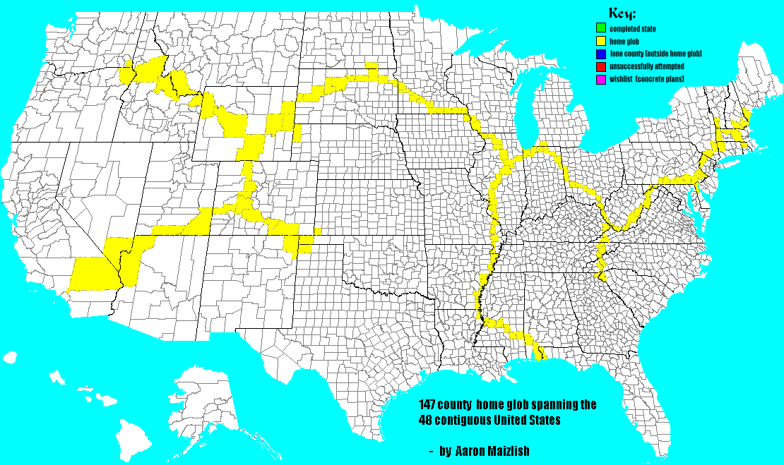
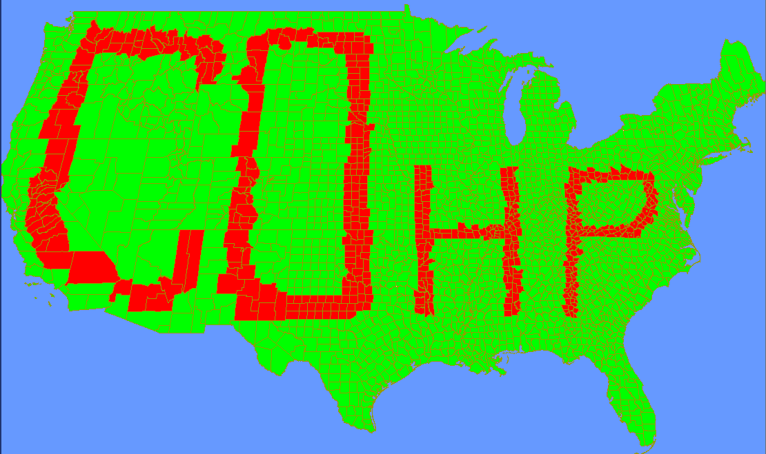
The metric for generating the geographic maps was a simple count of counties. Since practical considerations
such as driving routes and elevation gain were not minimized with these links, these maps are of purely
entertainment value. If and when analogous geographic link maps are generated that account for such
considerations, they would be of utility to practicing highpointers, and hence would perhaps more
appropriately be made available from the information maps page.
)
in that order. Numerical values in parentheses are the minimum
numbers of counties required to realize the given geographic links.
The metric for generating the geographic maps was a simple count of counties. Since practical considerations
such as driving routes and elevation gain were not minimized with these links, these maps are of purely
entertainment value. If and when analogous geographic link maps are generated that account for such
considerations, they would be of utility to practicing highpointers, and hence would perhaps more
appropriately be made available from the information maps page.
Entertainment Map Links
Minimum County Count Geographic Links -
| back to general map page | view information maps page |