|
|
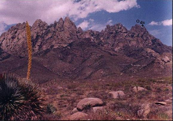
| Organ Range from west |

|
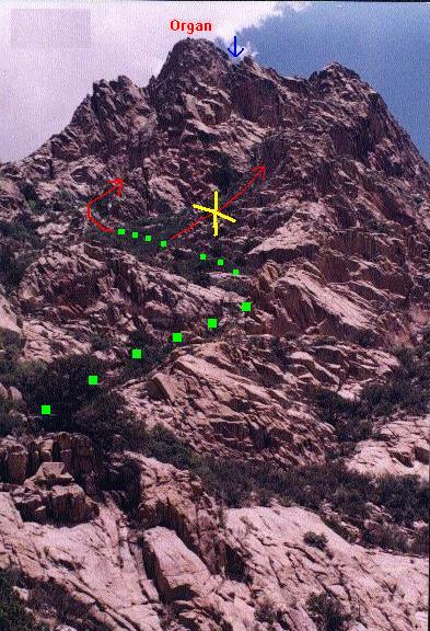
| prominent, yellow rocks |
|
| route from saddle |
|
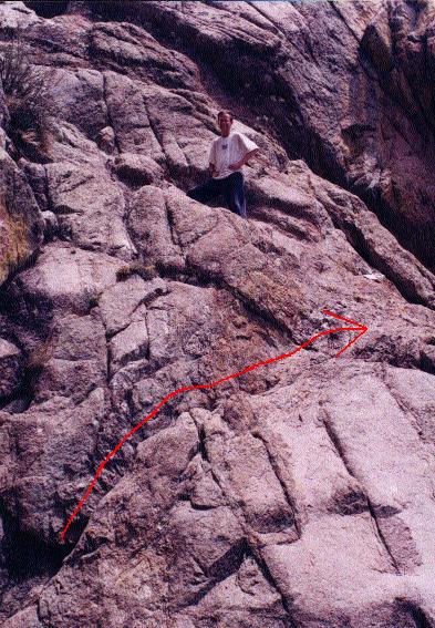
| diagonal crack |
|
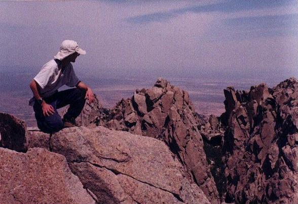
| view NW from summit |
|
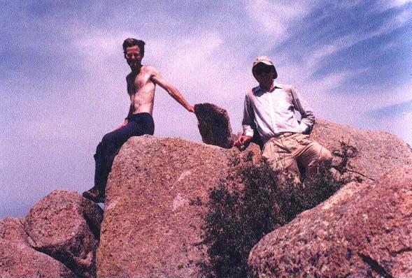
| on the tippy-top! |
| GPS Waypoint | (Easting, Northing) | Topo chart (waypoint at cursor) |
| ************ | **************** | ********* |
| ROAD JUNCTION | (343229 E, 3575035 N) | click here |
| CATTLE GUARD | (347048 E, 3577666 N) | click here |
| CAMPSITE | (349274 E, 3579631 N) | click here |
| GREEN GATE | (349594 E, 3579442 N) | click here |
| ATV SHORTCUT | (350912 E, 3579549 N) | click here |
| MINE AREA | (351220 E, 3579564 N) | click here |
| END ROAD | (351454 E, 3579393 N) | click here |
| NEAR OAK TREES | (351968 E, 3579144 N) | click here |
| SADDLE N P7778 | (352561 E, 3579450 N) | click here |
| WATERFALL | (352705 E, 3579503 N) | click here |
| ON SLOPE | (352832 E, 3579567 N) | click here |
| CROSS RIDGE | (352844 E, 3579582 N) | click here |
| DARK SADDLE | (353103 E, 3579506 N) | click here |
| FIN BELOW CL3 | (353144 E, 3579564 N) | click here |
| ORGAN NEEDLE | (353044 E, 3579593 N) | click here |