|
Corte Madera Mountain November 2014 Trip Report © November 2014 Adam Helman |
|
|
|
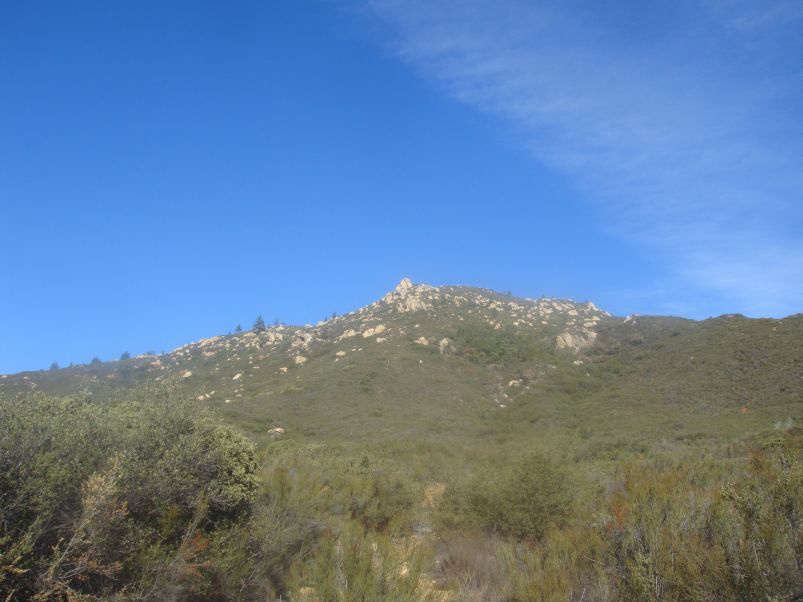
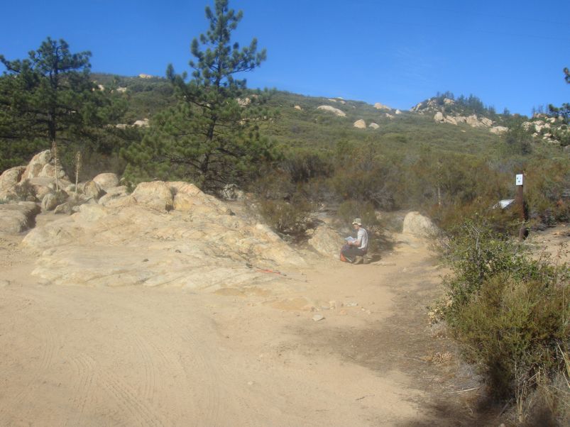
| Corte Madera from the southeast. | Adam checks the map. |
|
|
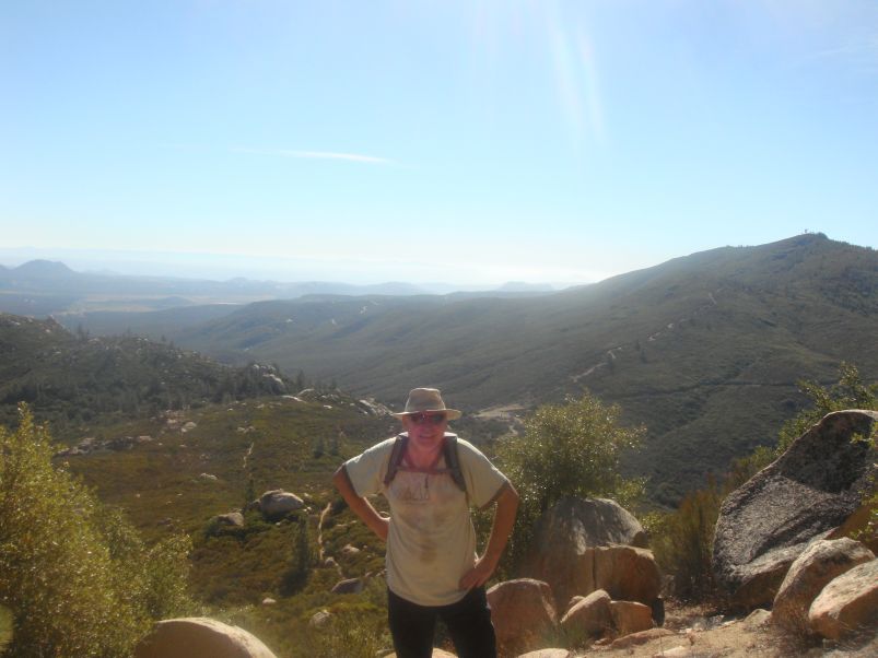
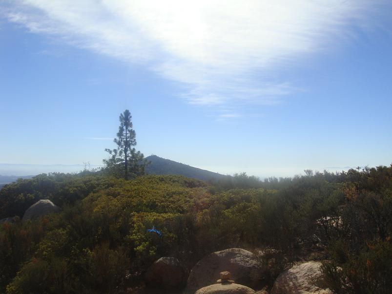
Max with Pine Mountain as background. |
We begin at 9:02 a.m., walking along Kernan Road to the actual trail at (32.74013° N, 116.56348° W). Within the hour we reach a saddle with road junction at (32.74752° N, 116.57539° W), rest, water, and head a quarter mile north on the obvious road to the Corte Madera Trail proper at (32.75059° N, 116.57411° W). Max is taking plenty of digital photographs, sadly with a broken viewfinder which precludes reviewing what is being seen.
|
|
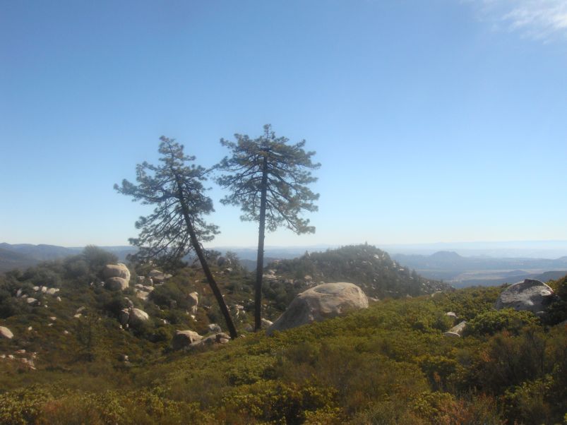
Twin trees on summit plateau. |
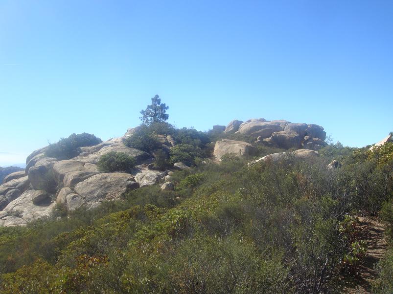
The summit area is broad and relatively flat, with several candidate highest points - each featuring large boulders. I search in vain for some path leading to a northwest area with 4,657 foot spot elevation at (32.75776° N, 116.59114° W), and which seems to be the highest point at peakbagger.com.
Instead, the obvious path continues southwest, terminating in a set of boulders represented on the topo chart as a southwest area with coordinates (32.75624° N, 116.59055° W). Here we drop packs and bushwhack to a boulder's top with good views - while hopefully satisfying Max that he climbed Corte Madera Mountain. The central area at (32.75696° N, 116.59016° W) features an unclimbable boulder shaped like an upended "egg", some 30 feet tall and completely vertical on all sides. There are no sizable handholds, and the only way it might be surmounted is by throwing a rope over its top, securing it on the opposite side, and jumaring!
|
|
Nearby Pine Mountain from the summit plateau. |
As it might be the highest ground, technically speaking it could be that noone climbs to Corte Madera Mountain's true summit.
There are also two 4,640 foot contours here and here, the latter with a 4,646 foot spot elevation and thus not in contention owing to the 4,657 foot area.
|
| the southwest area |
Rather than visiting these points, Max and I have our summit (and lunch) break atop yet another boulder just before leaving the general high ground. We share an onion bagel and some uncharacteristically piquant Irish cheese. There are several sweets, including a Snickers bar and my bag filled with caramels, mixed nuts (no peanuts!) and semisweet dark chocolate.
We descend at 11:33 a.m. and are back at the car in a jiffy - 12:50 p.m. After returning to the Park and Ride my stuff is transferred and we part amicably, hoping to meet soon enough for another good time.