Cuyamaca Peak August 2011 Trip Report
© August 2011 Adam Helman

Note 1: All coordinates use the WGS84 datum.
Note 2: Mouse-click any image for detail.

A most unsuccessful journey to Idaho leaves me unsettled; the urge to be atop a summit, indeed, any summit, quite strong indeed. So it is that I am driving well before first light to what is rapidly becoming my default local climb - Cuyamaca Peak in east San Diego County.

new structure
A new concrete building under
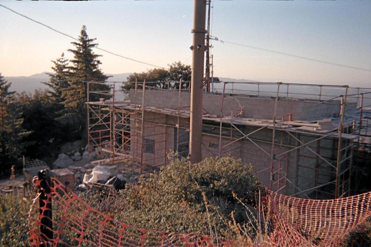
construction near the summit.

Never mind that it's August 26 and FAR too hot by high noon.

Never mind that I already exercised for more than an hour on my elliptical trainer last night.

Never mind that to park costs $8 - let alone the $23 for 6 gallons of gasoline on the exactly 120 mile round-trip.1

I take the same route as always, heading south from my truck coordinates at (32.96031° N, 116.58012° W) and elevation 4,868 feet; through the campground ($30 / night) to meet the paved fire service road at coordinates (32.95650° N, 116.58366° W) and elevation 4,951 feet.

gnarled tree
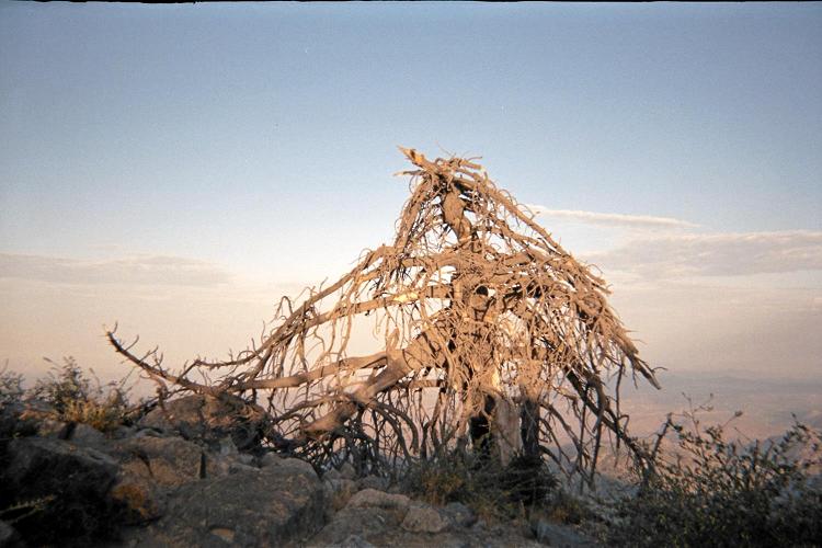
A windswept tree at the summit.

The desired fire road junction is located behind (south) of camping unit 69 and the "Cedar" cabin(s). From there the route is completely obvious, and can be done in darkness.

I meet my desired time "up" of exactly 1 hour (for aerobic training);2 and find that the summit area is undergoing development with new concrete buildings immediately (100 feet) south. Fortunately the summit itself is undisturbed, and is readily accessed by short trail from the current construction zone followed by a short Class 2 scramble to the tippy-top.

I slowly have the peanut butter sandwich with a juicy peach while enjoying the expansive views east towards the city and the sea.

Descent takes all of 50 minutes, and I am back home by around 10 a.m.

1 These are ATMs (Adam Truck Miles), a unit of measurement roughly 1% larger than standard, statute miles.

2 From the cited fire service road junction it's 1,550 feet of elevation gain - and done in 48 minutes for a 1,940 foot / hour ascent rate including a 2 minute water break at 6,000 feet. The implied 2,000 feet (610 meters) / hour ascent rate is acceptable. It should not have taken 12 minutes to go from parking lot to this junction: I took a wrong turn in the campground and so wasted a few minutes along this section.

dead snake
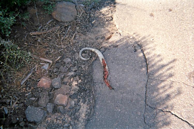
A poor, mutilated and dead snake along
the fire service road on-descent.