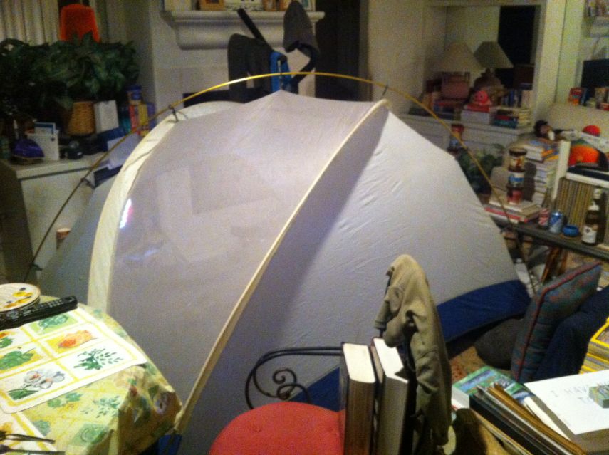
room to verify its sleeping comfort.
|
Desert Peaks Thanksgiving 2014 Trip Report © December 2014 Adam Helman1-3 |
|
1
Mouse-click on any photograph for enlargement. 2 Photographs are courtesy of the author except where indicated by "MA" (Mark Adrian). 3 The WGS84 datum is used for all coordinates. |
Mark Adrian's Thanksgiving 2014 album Cabeza Prieta Regulations (PDF) Hold Harmless Agreement (Word) |
|
|
|
My tent assembled inside the living room to verify its sleeping comfort. |
I meet Gail at her apartment before 8 a.m., park in her space, and transfer much stuff to her camper. After a brief tour of Gail's unoccupied home (just two blocks away) we stop for coffee and then a block of ice. To relax as her passenger my beverage is spiked with whiskey!!
|
|
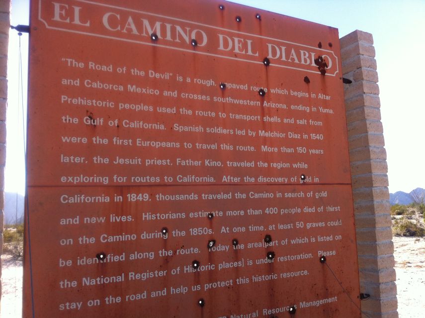
Our inbound route described by a remote signpost. |
Gail drives slowly, indeed at times barely above the minimum legal speed. Still, we have plenty of time to meet everyone at Wellton, Arizona via Exit-30 on Interstate-8. As prearranged we do not reset our timepieces to Mountain Standard Time as that could confuse matters. We arrive around 12:30 p.m. San Diego time, early enough to have some lunch - and then collectively depart just before our 1:30 agreement.
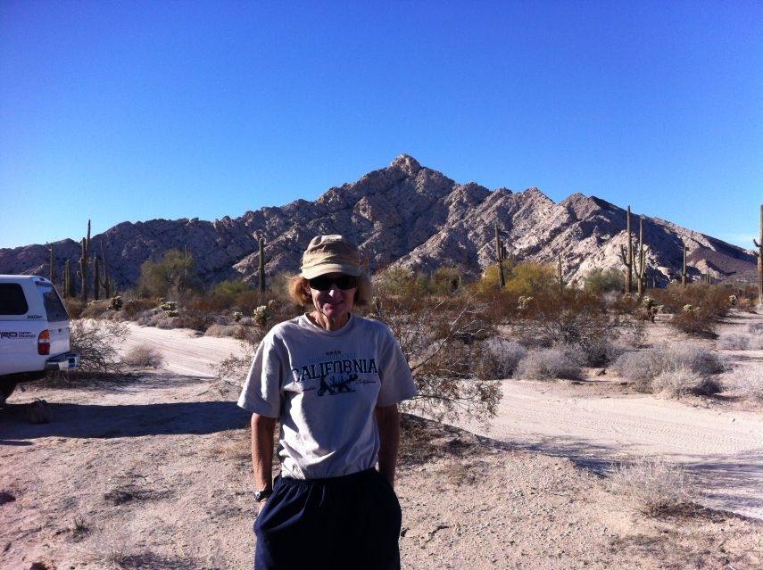
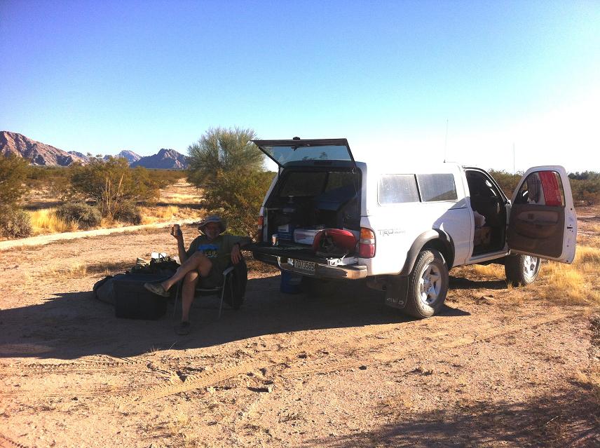
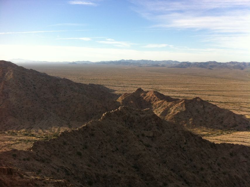
Some 2.7 miles south and then 4 miles west from Wellton we enter the Barry M. Goldwater Air Force Range here at (32.61995° N, 114.21033° W). We continue south, now on sand and in four wheel drive, on the Camino del Diablo. It's 25.5 miles to a junction at (32.30227° N, 114.01974° W) where Mark waits for us. Most of us have amateur radio licenses, and the ability to communicate over miles of trackless terrain without cell phone coverage provides a safety measure while being fun and amusing! Now all together we caravan generally east to a first campsite at (32.24744° N, 114.85392° W) just off the road. We are conveniently located for tomorrow's triad of peaks immediately northwest. It's nearly sundown (which is roughly 4:30 p.m.), such that Happy Hour extends into darkness. It will form a "critical part" of all remaining afternoons. I erect my two man tent, most spacious for just myself, and enjoy supper with the others. We sleep soon enough, surely well before our normal bedtimes.
|
|
|
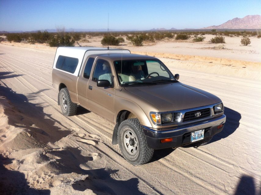
| Gail and her vehicle |
Lighthouse Peak behind our first camp (MA). | Shelley and Lighthouse Peak |
|
|
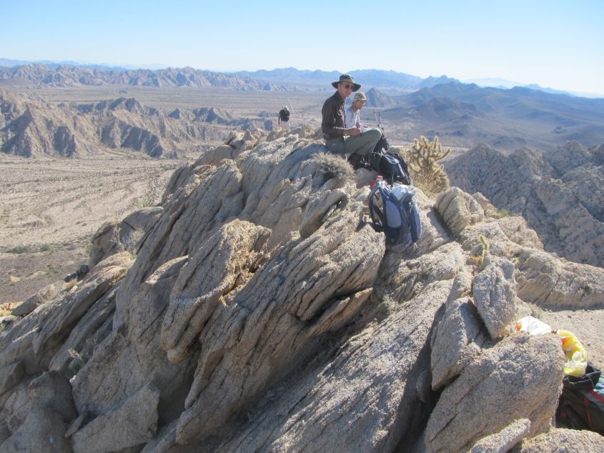
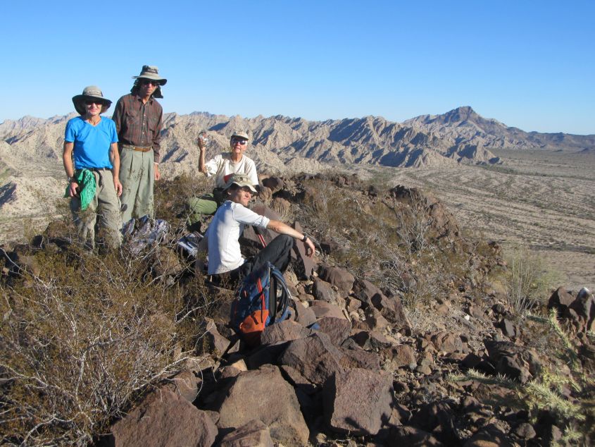
Peak 2094 summit with Richard (in front) and Adam (MA). |
Richard has selected a string of peaks forming an obvious trio - "Lighthouse Peak" (2,068 feet), Peak 2094 and Tordillo Mountain (2,170 feet). We start soon after sunrise, heading northwest on the desert floor for Lighthouse's east face. There's roughly 800 feet of gain, Class 2 - until just underneath the summit. Here one ascends a Class 3 chute, heading west, reaching in short order a set of boulders at the very top. Richard emplaces his standard red can register for which he is well-known far and wide - even in Michigan!
|
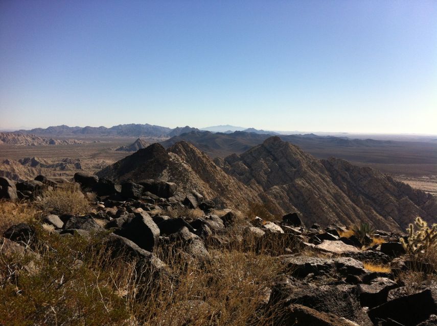
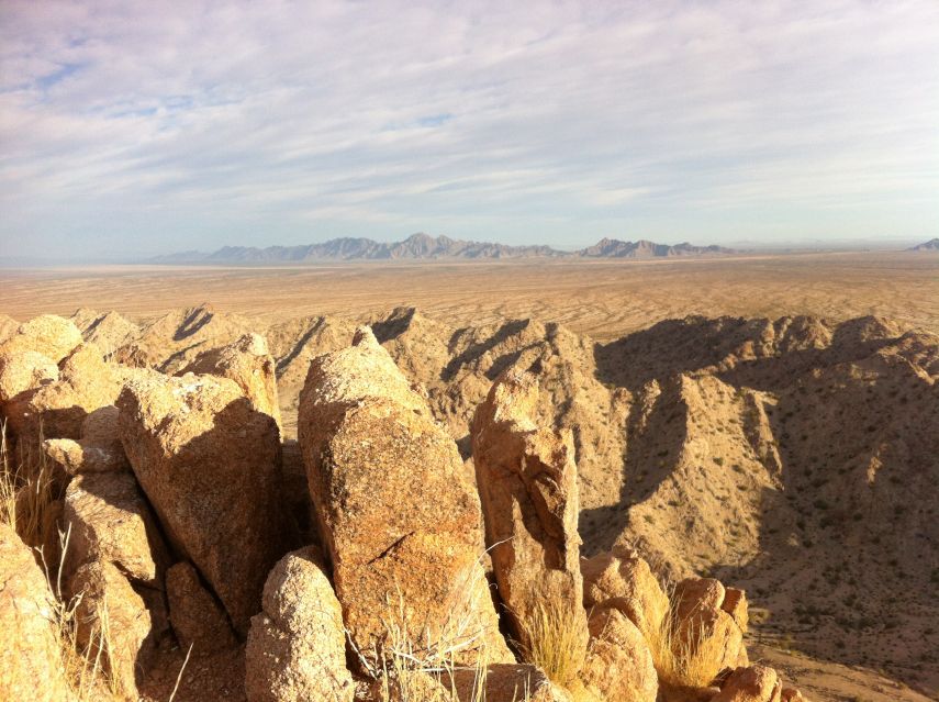
| View southeast from Tordillo's summit. |
On to Peak 2094 - by descending the north side of Lighthouse followed by roughly 500 feet of reascent. Somehow John Strauch gets behind everyone and is nowhere to be found! We shout. We wait. Sure enough he appears - well below us and having taken an entirely different route.
Then too I somehow get ahead of the others, topping-out, oddly, on a dark brown subpeak immediately north of the main summit. On sighting I see my error and backtrack to reach the true highest ground. There I wait a sizable timespan before anybody appears - all but John. He finally shows after many more minutes. Our pecking order insofar as speed and hence fitness level is all too apparent - and this even though I am just recovering from a case of sciatica which sidelined me for several months. John wants to explore a terracache presumably 50 feet under the northern subpeak - while everybody else heads for the saddle connecting Peak 2094 with Tordillo Mountain. I have been concerned about my water supply, and seriously considered turning back short of Tordillo to avoid dehydration. Somehow I continue, perhaps stupidly, even though I realize my supply will run completely out on the return hike in the valley.
|
|
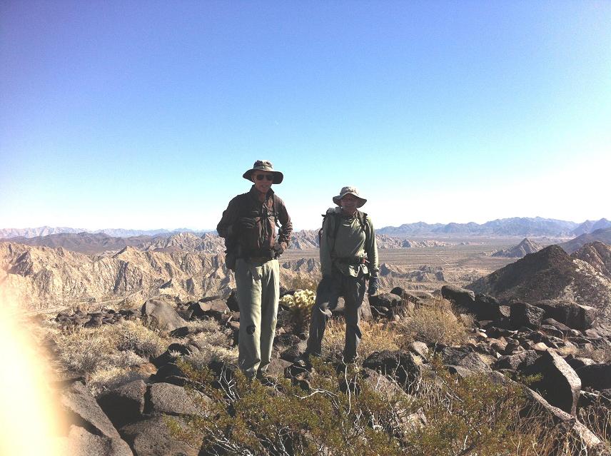
Mark and Richard top-out at Tordillo Mountain. |
Nonetheless I summit first, with Richard, Mark and Shelley hot on my tail. John comes far later. There's makeshift communications gear on the summit, possibly emplaced by illegals / drug runners for their nefarious purposes.
|
|
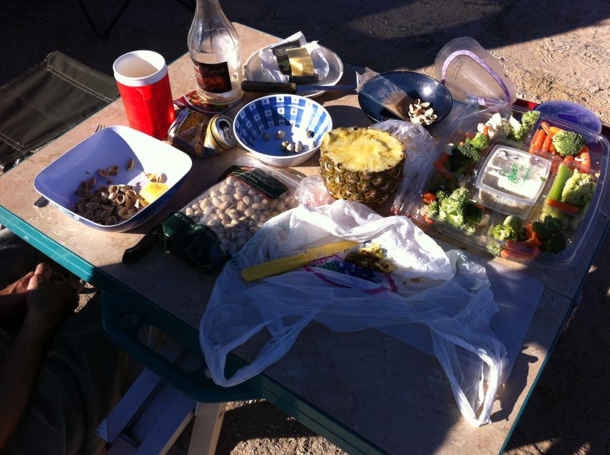
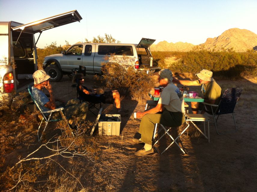
Typical food served at our "mandatory" Happy Hour. |
We descend east into the valley, whence our heading shifts southeast, and finally nearly due south, to directly reach our camp. Gail Hanna has come to greet us - she did not come along, electing instead to hike some easy hills and ridges just south of camp.
The order of business for many upon returning to camp is to have a cold beer. In fact, it's Mark's signature activity! This is shortly followed by a gathering of edibles on Richard's card table - and soon enough our Happy Hour is in full swing. So much food and beverage is shared that by the time dinner rolls around no one is really hungry for it! This will prove a continuing theme. That written, Richard has brought a pair of pre-cooked turkey breasts along with gravy; Mark provides stuffing with the traditional mix of spices; somebody heats a pot of yams (not to be confused with sweet potatoes); and Shelley presents a pumpkin pie. We are stuffed after darkness falls.Richard Carey's route instructions with photographs and a complete GPS track.
|
|
The entire group apart from John while atop Peak 1705. |
When I am charged with organizing a trip a general desirable is reaching the next day's trailhead before settling down for the evening. By that means the uncertainties inherent in traveling to it are addressed without cutting into the morning's precious cool hours.
|
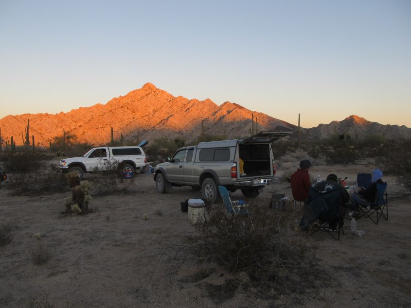
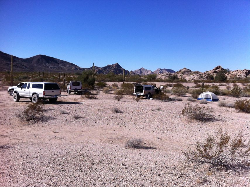
| A general camp view |
Unfortunately no one else seems to care that we drive to the next set of peaks right after breakfast - wasting the coolest time of day while simultaneously squandering breakfast calories sitting on one's behind rather than on some hiking or climbing route.
I was under the impression that we would break camp maybe once during the entire journey, and partly based my decision to ride with Gail, and hence erect a tent upon it. So when I see that camp is being moved every morning I realize that driving with Gail was a mistake - the burden of erecting and dismantling the tent every day, when no one else is tasked with that chore, is untenable. We park here at (32.24213° N, 113.83559° W) for the morning's pair of prominences. Gail starts with us towards innocuous Peak 1705 slightly over one-half mile southwest and with barely more than 500 feet of gained elevation. Once on top we collectively wait for her - and then descend east towards Peak 1713 which appears quite steep! She is exceedingly cautious descending on the rocks...
|
|
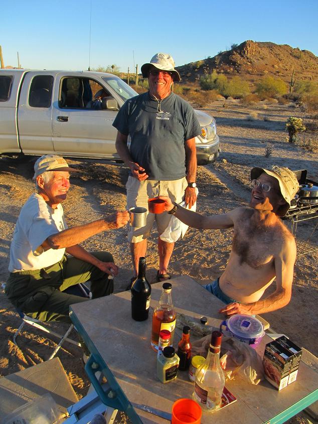
Adam, Gail and John make a Happy Hour toast (MA). |
Around Peak 1713's south side we find manageable slopes, one of which we ascend only to find the true summit lies northwest across a saddle. Soon enough we top-out on the eastern of two summit "bumps" viewed from afar. The other bump is visually lower.
On the descent we go east only to that saddle and head down from it, southbound, rather than return to our original ascent path. (The recommended ascent route gains this saddle at (32.38137° N, 113.66975° W) and then heads northwest to the summit.) Soon enough Gail greets us as we return to our vehicles, and we drive a rather short distance to yet another trailhead for some afternoon peaks.

|
| Richard enjoys an afternoon snack. |
I balk - it's already too warm in my view - and spend the afternoon with Gail at camp. Meanwhile Richard, Mark and Shelley battle with the heat and cholla cactus to secure two of three planned summits. Progress is learned by radio communication, generally on the hour.
While all this takes place, John Strauch is repeating yesterday's climbing route - exactly with a GPS track. Why? Because his wallet fell out of the rear pants pocket, containing drivers license, credit cards, permit to be HERE, and likely a bunch more. YIKES! Gail and I learn of his success by radio. I am certain John will never again hike with wallet in said location. Perhaps the best place is buried deeply inside the pack in a compartment rarely accessed. I express a desire to move camp, NOW, so that it need not be done by morning. However folks have already begun their afternoon ritual of beer followed by much food and yet more drink. Mark provides a fresh bottle of Baileys Irish Cream. Gail enjoys her white wine. Richard has plenty of red. After my remaining Pumpkin Spice liqueur is polished off by Mark the first night, I yet have plenty of Scotch whiskey to share - along with Danish Cherry Heering liqueur (24% alcohol content) that tastes like either beefed-up Manischewitz or Robitussin cherry cough syrup. Deeelicious! I find that 2 parts Baileys to 1 part whiskey is exceedingly tempting - so much that John, seeing that my bizarre food combinations really DO "work", decides to partake... and then a second night as well. People do agree with my suggestion of spacing-out leftover Thanksgiving food by having "other stuff" tonight. So it is that after simply too much at Happy Hour, my "dinner" is merely a triple portion of Japanese miso soup - which I find greatly enhanced with melted cheese! After much prodding Richard opens his rich gourmet cheesecake. My Danish Cherry Heering liqueur works perfectly with it. This has been yet another afternoon and early evening of gastronomic excess.Richard Carey's Peak 1713 route instructions with photograph and a complete GPS track.
|
| "Cheers and Beers": Mark relaxes before Happy Hour. |
|
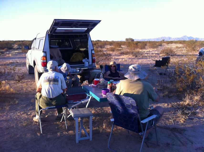
| Our final collective Happy Hour... |
We return the ascent route, enter the narrow valley west of Peak 1999, and head roughly 0.4 mile north for an eastern approach to Peak 1833. I lead about 300 vertical feet up a steepening gulley, reaching a saddle (32.23388° N, 113.79602° W) only to find our goal is still 400 feet northwest. Although the route is not obvious apart from staying off the pinnacled ridgeline, it turns out to be facile - and soon enough we enjoy yet another summit siesta.
Back by noon to the vehicles, we drive east to Tule Wells where lunch is had at a shaded picnic table. Finally people enjoy my kosher pastrami, prepared with Creole mustard on nine-grain bread. I cannot believe it when Mark consumes my whiskey: we have many miles yet to drive!
|
| ...and a second view. |
The going gets rough, 4WD definitely required as we head over and then beyond Christmas Pass. Over the radio people express the need for 4WD. Oddly, Mark says 2WD suffices - and yet I remind folks that he's definitely "under the influence". (Hmm... does a statute of limitations apply if some officer of the law reads THIS report?)
We drive north, exiting the Cabeza Prieta Wilderness, making camp at (32.38137° N, 113.66975° W) almost due west of tomorrow's goal. It's 1.5 miles to the mountain's base, and there's an obvious route. Gail wants to join us - yet I balk - she will slow down the group by HOURS. It's simply not fair to them. How to reach a compromise? I present my plan: she will join just myself before sunrise, so mitigating the heat issue while simultaneously providing a reasonable return time. I propose arising at 4:30 a.m. with a 5:30 departure - timed so that we can see without headlamp well before reaching the mountain itself. Gail agrees. Furthermore, she uses her automobile cassette tape player to boom native Andean music throughout our camp. Suddenly I am returned to Bolivia's Altiplano high desert, the scenery all-about quite reminiscent as we are in a parched desert! After a shot of whiskey (mind you on an empty stomach) the desire for returning to a life of climbing mountains overwhelms me. The Thanksgiving leftovers are enjoyed - plus a pecan pie provided by Shelley as dessert.Richard Carey's Peak 1999 route instructions with photographs and a complete GPS track.
Richard Carey's Peak 1833 route instructions with a complete GPS track.
|
| Peak 1781 on Saturday afternoon. Note the obvious ascent gulley. |
|
| Early morning vista atop Peak 1781. |
Soon enough I reach the saddle at gulley's top (32.38601° N, 113.63834° W) and examine the remaining route heading northwest. I choose to sidehill on large slabs rather than negotiate the ridge. On top I am, of course, alone - and celebrate with a short nap.
|
|
A second summit view with foreground summit rocks. |
On arising I am treated to superb views from my "bedroom". Reluctantly I descend, reaching my poles some 45 minutes later while Mark, Richard and Shelley are at the summit. I shout and somebody acknowledges my call with waving arms and a greeting.
I return to camp around 9 a.m. and eat my "summit" snack - leftover hummus with pine nuts and assorted vegetables from yesterday's Happy Hour. Soon enough the larger group returns and we drive around 10ish. At an obvious junction with coordinates (32.69395° N, 113.84990° W) Gail wishes to simply camp even though it's only 11:30 a.m. with plenty of time for driving home. So it is that everyone except us is San Diego bound. One of Gail's tarps is spread in the shade of her vehicle so I can nap comfortably - I have slept only some 2 hours for unexplained reasons and desire nothing more than to feel a bit more rested. Gail opens a beer, and I accept her dark ale soon enough as there's nothing much at all to do now for the day's balance. Supper comes early, as is her way at home, as we enjoy a pair of Indian-inspired packaged meals that are perfectly spiced. I also have a can of macaroni and cheese. Soon after we cut Gail's delicious fruitcake - my piece soaked in a small amount of Scotch whiskey. I retire shortly after sunset and sleep many hours indeed.Richard Carey's Peak 1781 route instructions with photograph and a complete GPS track.
|
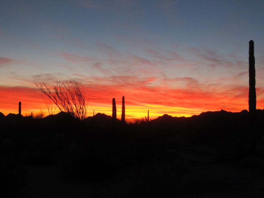
| Sunset in the Sonoran Desert (MA). |