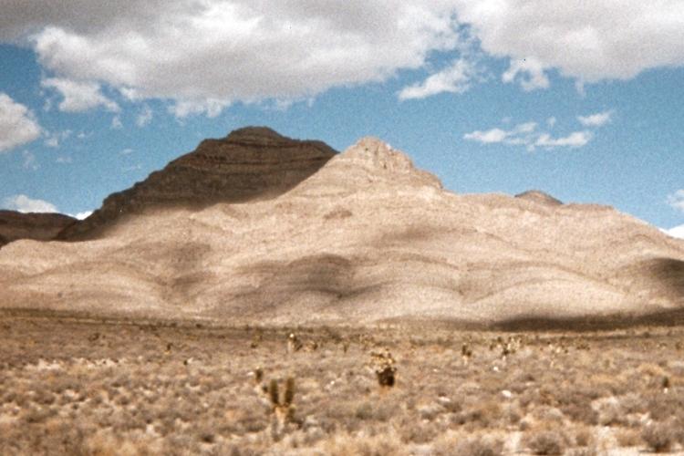
in the wide open spaces of Nevada.
(view south - US Route 93)
|
Nevada Prominences September 2009 Trip Report © September 2009 Adam Helman |
|
|
|
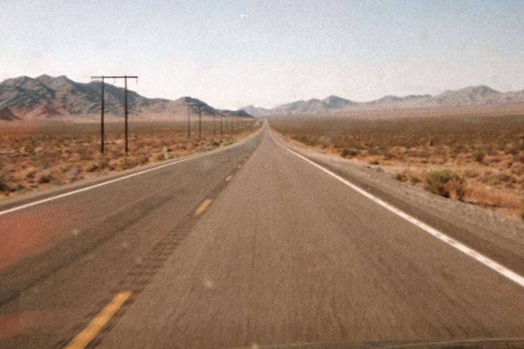
The vanishing point concept is often manifested in the wide open spaces of Nevada. (view south - US Route 93) |
|
|
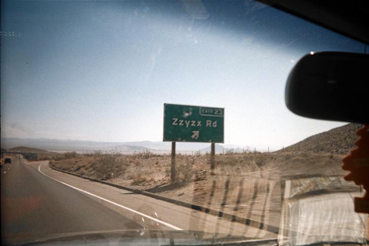
Last name in the dictionary? (Interstate-15, Mojave Desert) |
|
|
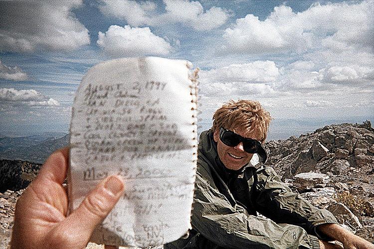
Mark Adrian's entry of August 2, 1999 is too close for a sharper image. Edward in mid-ground. |
|
|
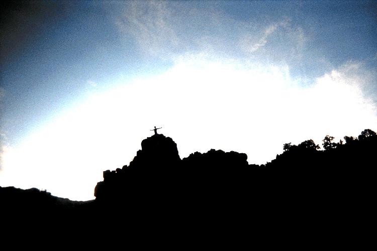
Adam atop the 50 foot rock climb near sunset. (Edited to create the "halo" effect.) |
|
|
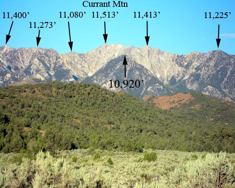
Currant Mountain has several summits with the highest being 11,513 feet. (Gerry Roach photograph) |
|
|
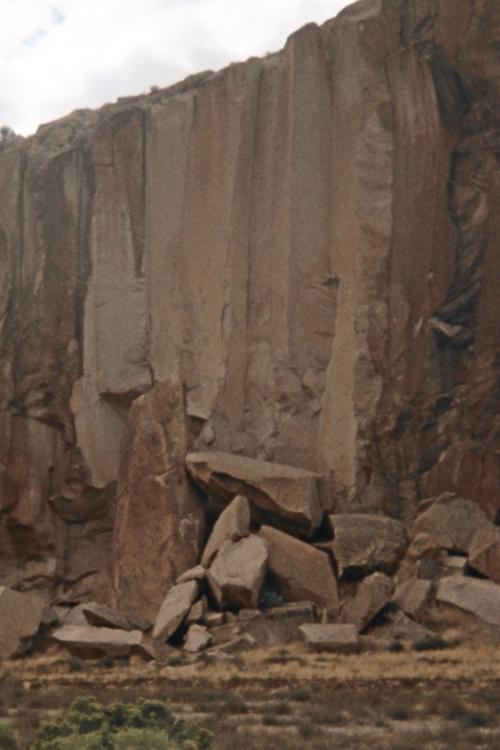
Interesting roadside geology along Nevada Route 318. |
|
|
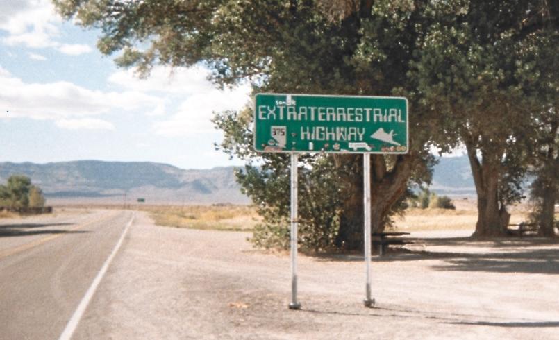
Nevada Route 375 and its dubious connection with alien lifeforms. |
|
|
How far until armed sentries suggest a retreat? |
|
|
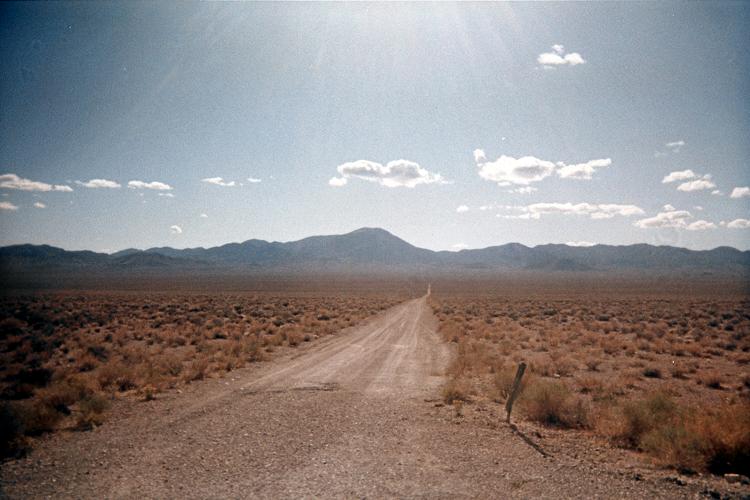
Stark desert terrain is accentuated by shadow. |