Palomar Mountain December 2013 Trip Report
© December 2013 Adam Helman
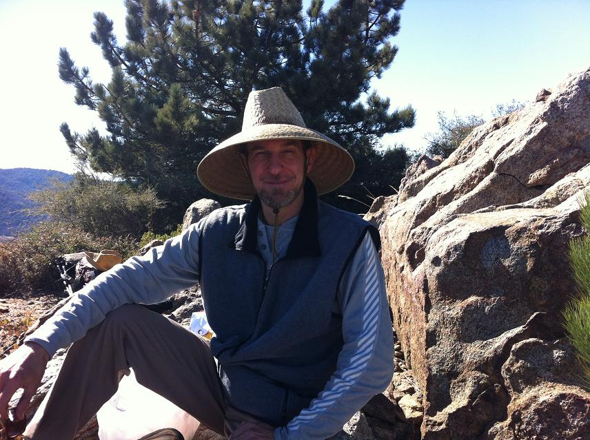
Note 1: All coordinates use the WGS84 datum.
Note 2: Mouse-click images for enlargement.

Introduction

Phil Rogul is an acquaintance of Mark Adrian who I know from the San Diego peakbagging community. We met electronically in October and decided to join forces for a local peak as a compromise between Phil's more general outdoor interests and my insistence on reaching a summit.

As site of the 200-inch Hale telescope, Palomar Mountain is synonymous with astronomical greatness. I hiked to its summit around 20 years ago with Edward Earl. I cannot recall the details, yet am certain that we did not use Phil's eastern route that entails 3,600 feet of total elevation gain and 14 miles round-trip distance.

Jill joins us, Phil's wife of 21 years.

Trip Details

We meet at an Escondido Park-and-Ride. After securing my vehicle I ride as Jill and Phil's passenger to a parking lot near tiny Oak Grove at (33.38634° N, 116.79195° W), measured elevation 2,785 feet. We start at 8:10 a.m, and soon enough find the true trailhead at (33.38405° N, 116.79907° W) with a measured elevation 2,870 feet after a series of intersecting dirt roads and paths.

Additional waypoints for accessing the true trailhead -

(33.38666° N, 116.79542° W)
(33.38483° N, 116.79715° W)
(33.38463° N, 116.79755° W).

The day is warming most rapidly as we shed layers mere minutes later. The trail ascends some 1,300 feet over 1.3 miles as it reaches a broad dirt road at 4,200 feet. This critical junction at (33.37626° N, 116.81108° W) is well-marked, with a 4,170 foot measured elevation.

Phil
Phil
The road gains elevation quite gradually, with the remaining 1,800 vertical feet realized after no less than 5 or 6 miles of hiking. Above 5,500 feet there snow on shaded sections as the road wends around north-facing slopes - remnants of a recent storm on the 19th.

Adam and Phil
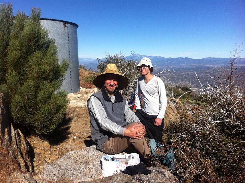
Adam and Phil (may be
inverted on a smartphone).
A locked gate at (33.37644° N, 116.82652° W) and 4,872 foot measured elevation is the upper limit of vehicular travel - at least in this season.

We summit at 11:18 a.m., touching the very highest rock before settling-in to a nice lunch featuring avocado, blue cheese and onion sandwiches, assorted chocolate truffles, dates, almonds and walnuts and even more. Unexpectedly Jill naps for a half hour and is soon joined by her husband. At 12:48 we descend - a full 1 1/2 hours on top.

The highest ground at (33.36295° N, 116.83637° W) is roughly 10 yards northwest of the observation tower, now closed to all but official personnel.

Descent is equally efficient as we reach the Subaru at 4:08 p.m. Time in-motion has been 2 hours 50 minutes for the ascent and 2 hours 40 minutes returning. We return to Escondido via Route 79 through Temecula rather than taking the shorter yet more serpentine Route 78 through Santa Isabel and Ramona.

A "giant burrito" is enjoyed for supper, about one pound and full of protein that's been largely absent from the day. The next morning my thighs are sore, as expected from having exercised 4 times the amount I normally do while at home - my first mountain climb in 3 months.

It was a beautiful, sunny day for reaching the mountaintop.

Jill and Phil
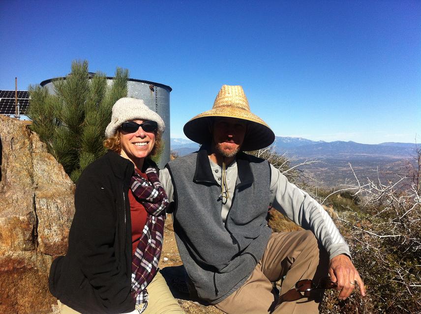
Jill and Phil at the summit plateau.