|
Sequoia National Park August 2014 Trip Report © August 2014 Adam Helman |
|
Note 1: All coordinates use the WGS84 datum. Note 2: Mouse-click nearly all images for detail. |
|
|
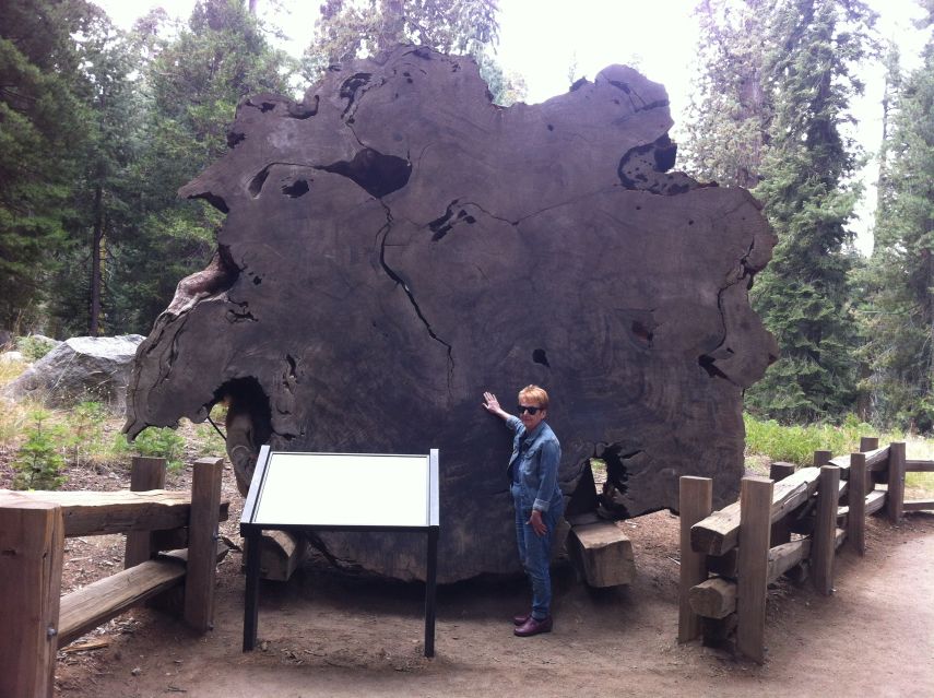
| Cross-section with tree rings and mother. |
|
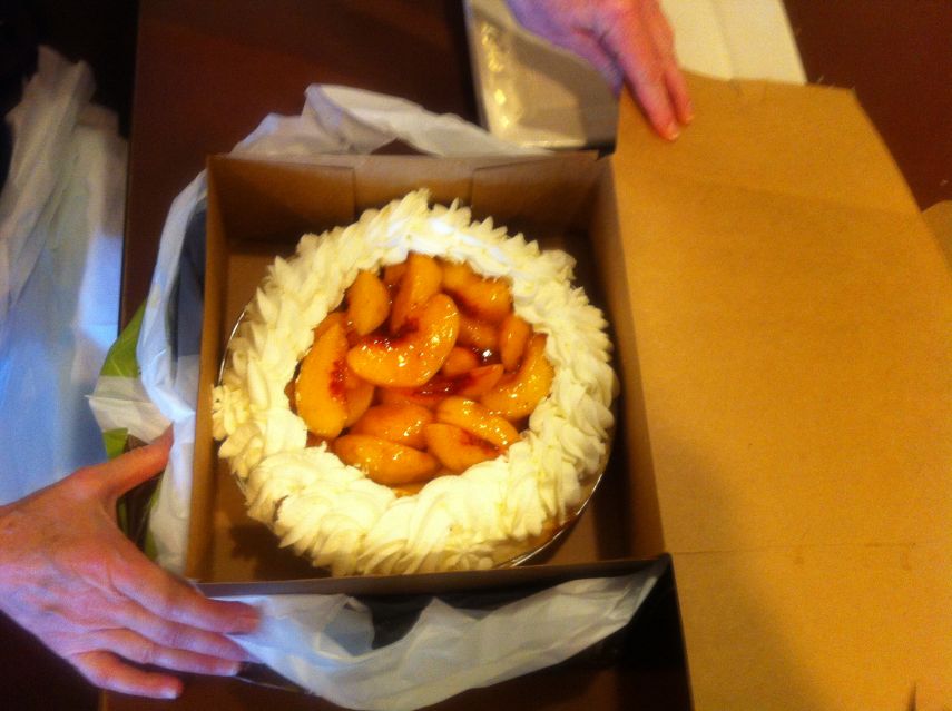
| fresh peach pie |
|
|
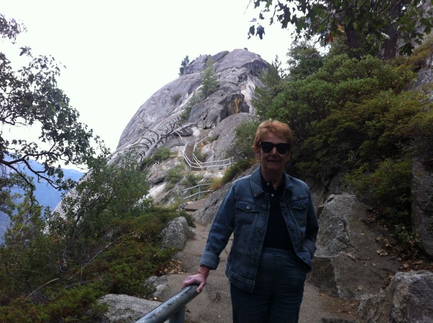
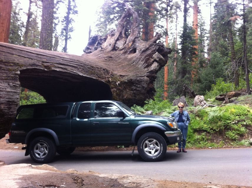
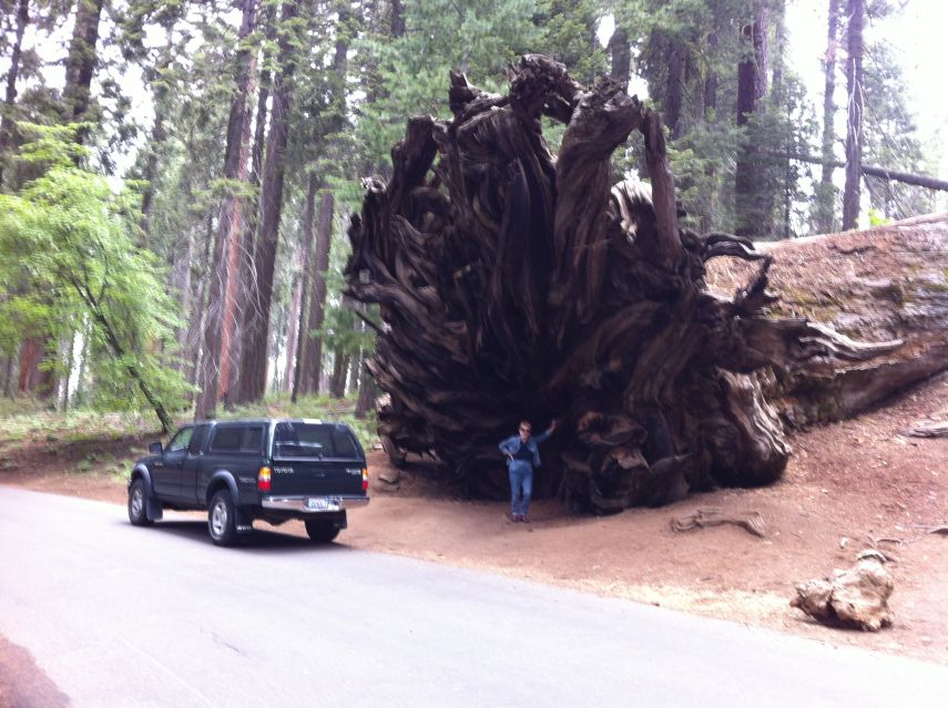
| Moro Rock and mother | Auto log and mother |
|
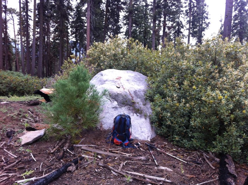
| hilltop boulder |
|
|
|
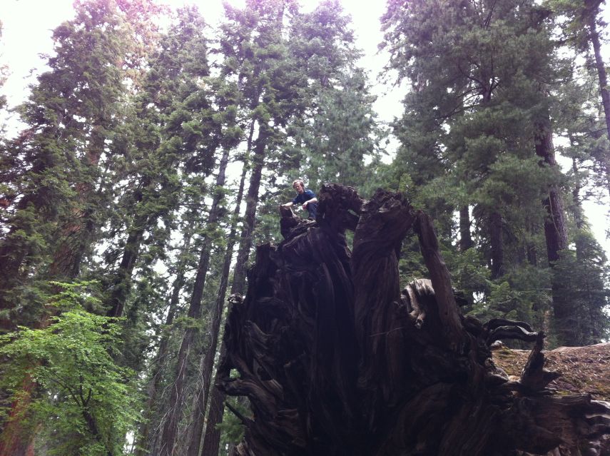
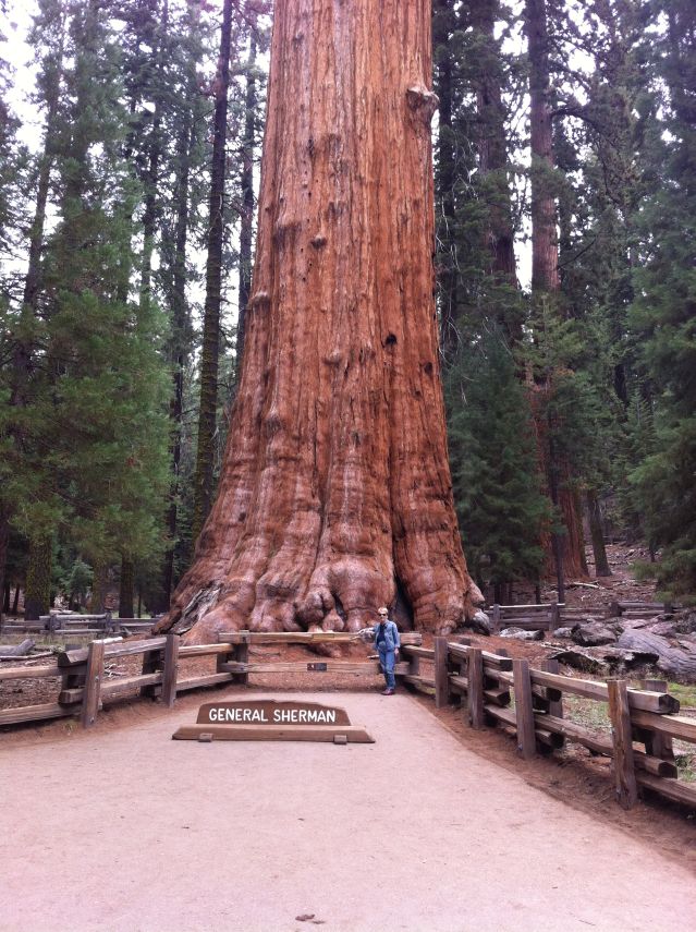
Adam atop the root system (mouse-click image to see him). |
Evidence of the tree's full scale |
|
| The boulder at "Toilet Top". |
|
| General Sherman's base and mother. |
|
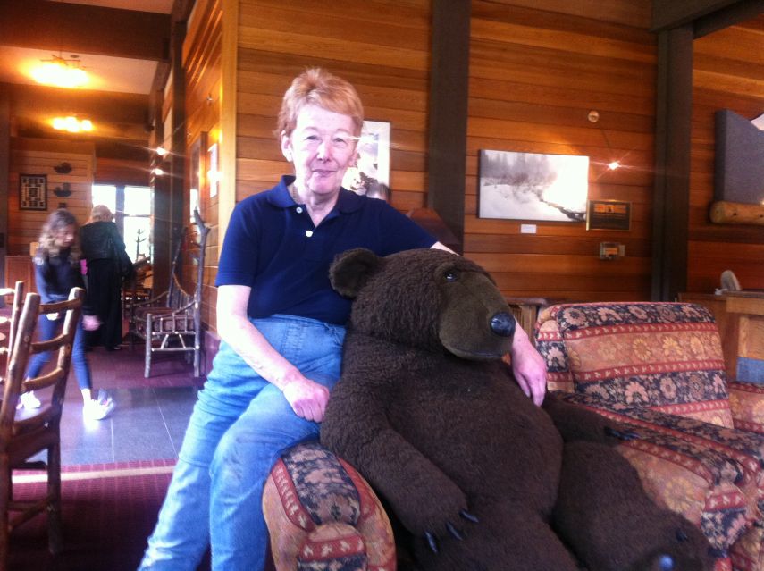
| Mother and a new friend inside the Wuksachi Lodge. |