Swasey Peak Trip Report
© August 2011 Adam Helman

Note 1: All coordinates use the WGS84 datum.
Note 2: Mouse-click any image for detail.

This is the first and, unfortunately only, ascent of an ambitious trip to Idaho for climbing county highpoints in August 2011. I did Swasey on the eighteenth.

Approach drive and route information for Swasey Peak are documented at summitpost.org and elsewhere.1 Here I add some key coordinates for the southeast ridge route.

Swasey Peak route
Route as red squares from carpark saddle.
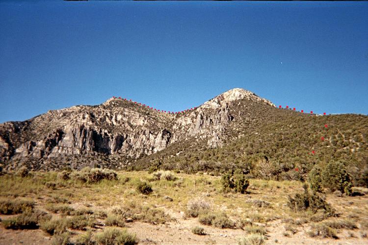
(Mouse-click to see route clearly.)
Gaining the northeastern subpeak's
south ridge is hidden from view.

Main summit is left of center.

From the 7,977 foot saddle at (39.37209° N, 113.31947° W) bushwhack northeast, often with annoying brush that requires micronavigating around them to find a clear path (which then is useful for about 15 feet). This cumbersome effort is replaced by a talus scramble at the east base of a rock buttress at (39.38161° N, 113.31179° W) and elevation roughly 9,100 feet.

There is a steep, loose trail commencing here. Climb it or in-parallel for about 50 vertical feet. Now head north-northeast, gaining little elevation yet following the occasional cairn to eventually reach the north-south ridge at (39.38335° N, 113.31076° W) and elevation 9,520 feet which leads north to the southeast subpeak of Swasey. On the ridge here are two large cairns. Note this point for your return.

Walk the ridge towards the southeast subpeak, and then sidehill around its southwest face. Drop to the saddle with the main peak, and continue to its summit.

My round-trip time is 4 hours 16 minutes. That should have been under 4 hours: there was some uncertain navigation in the uphill bushwhack and by leaving the cited ridge on-ascent rather than remaining right atop it.

The previous afternoon, shortly after parking at the saddle, a pair of F-16 jets buzzed the peak heading eastbound at 4:37 p.m. Mountain Daylight Time. They were followed one minute later by a third jet.

1 The final road one or two road miles leading to the saddle carpark is quite steep.
  Use your vehicle's "low-range" gear option when returning downhill.

central Boise
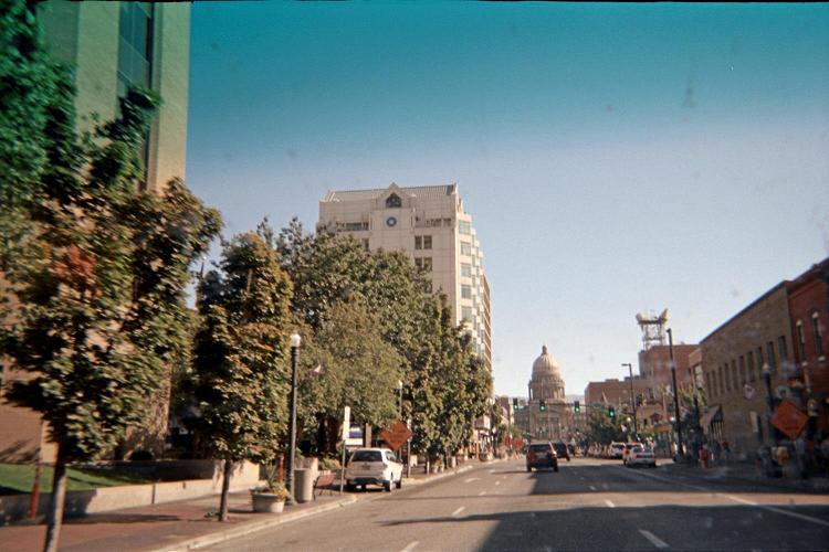
Downtown Boise on a Sunday morning.
The P-40 Warhawk Air Museum in nearby
Nampa was also visited - a collection
of everything imaginable from WWII.