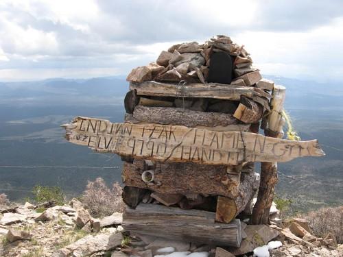
atop Indian Peak.
|
Utah Prominences October 2009 Trip Report © October 2009 Adam Helman |
|
|
|
The large summit cairn atop Indian Peak. |
|
|
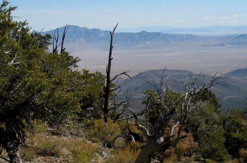
View northeast from the summit of Wah Wah Range highpoint. |
|
|
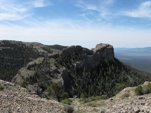
Needle benchmark's summit is left; the cliff band at right center. |
|
|
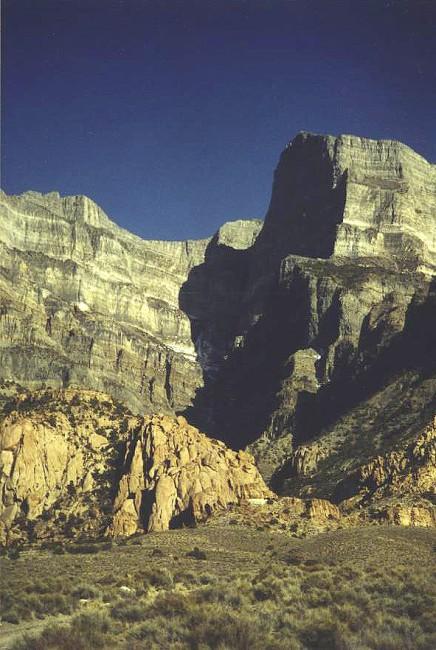
Notch Peak's famous vertical big walls. |
| description | (latitude, longitude) | elevation (feet) | topographic chart (waypoint at cursor) |
| ********** | ***************** | ************ | ******************************** |
| roadblock - trailhead | (39.12773° N, 113.36294° W) | 6,818 | click here |
| junction - bear left | (39.13340° N, 113.37354° W) | 7,056 | click here |
| inside canyon | (39.13194° N, 113.38316° W) | 7,362 | click here |
| inside canyon | (39.13507° N, 113.39453° W) | 7,914 | click here |
| prior to steep dry waterfall |
(39.13445° N, 113.39925° W) | 8,134 | click here |
| bypassing dry waterfall | (39.13540° N, 113.40156° W) | 8,304 | click here |
| split in gully; cairn - bear left |
(39.13869° N, 113.40345° W) | 8,712 | click here |
| top of gully | (39.13943° N, 113.40423° W) | 8,842 | click here |
| near saddle east of summit |
(39.14259° N, 113.40665° W) | 9,248 | click here |
| summit | (39.14320° N, 113.40937° W) | 9,654 | click here |
|
|
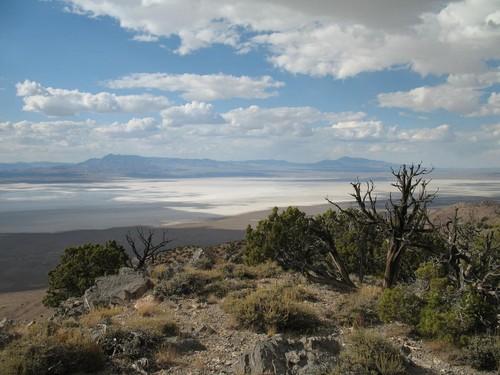
Dry Sevier Lake on a clear day from the Cricket Mountains summit. |
|
|
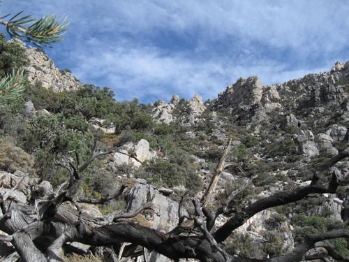
View up the one route for "Wah Wah North". |
|
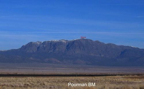
| Poorman benchmark from Interstate-15. |