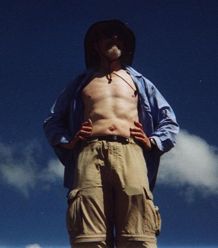
Silver Star Mountain
with the camera looking
nearly straight up.
(click for enlargement).
|
Washington July 2005 Trip Report © July 2005 Adam Helman |
| (Click on any image for enlargement.) |
|
|
|
Duane Gilliland atop Silver Star Mountain with the camera looking nearly straight up. (click for enlargement). |
|
|
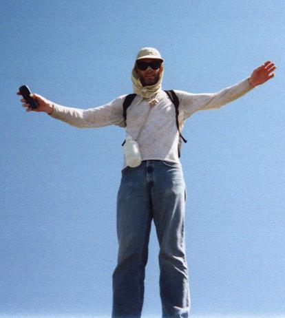
Greg Slayden atop Silver Star Mountain with the camera looking nearly straight up. (click for enlargement). |
|
|
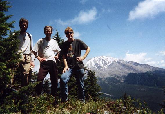
Atop Goat Mountain with distant Mount Saint Helens. Greg is at photo left; Adam at center; Edward at right nearest Saint Helens. (click for enlargement). |
|
|
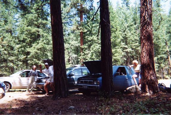
Jump starting another vehicle at the trailhead for North Gardner Mountain. (click for enlargement). |
|
|
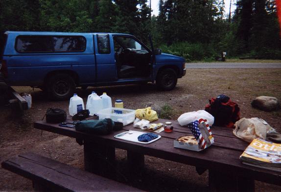
Car camping at Sullivan Lake prior to Gypsy Peak. Note the apple pie and my tupperware "placesetting". (click for enlargement). |