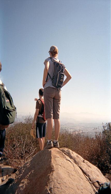
in the Mount Lukens ascent.
|
City Highpoints Trip Report © September 2011 Adam Helman |
|
|
|
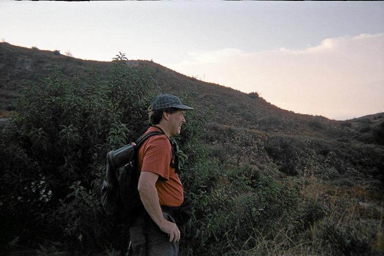
John takes-in a view early in the Mount Lukens ascent. |
|
|
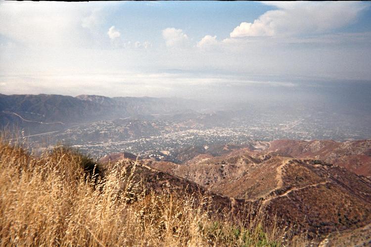
A part of Greater Los Angeles thousands of feet below. |
|
|
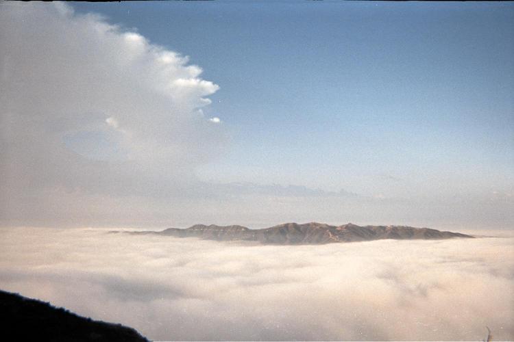
A nearby range well demonstrates the prominence island concept. |
|
|
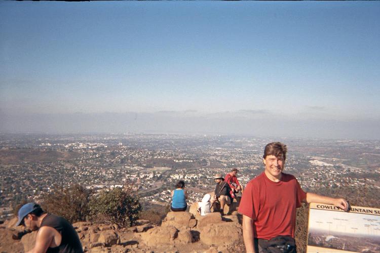
View southwest from Cowle's top with John at right. |
|
|
Summit boulder atop Pyles Peak with an unknown hiker I am reluctant to shoo-away. |