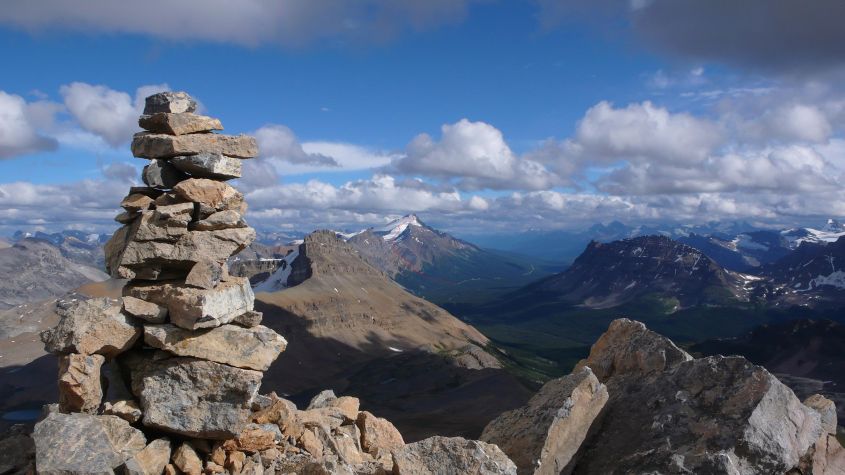
as seen from the summit of Cirque Peak.
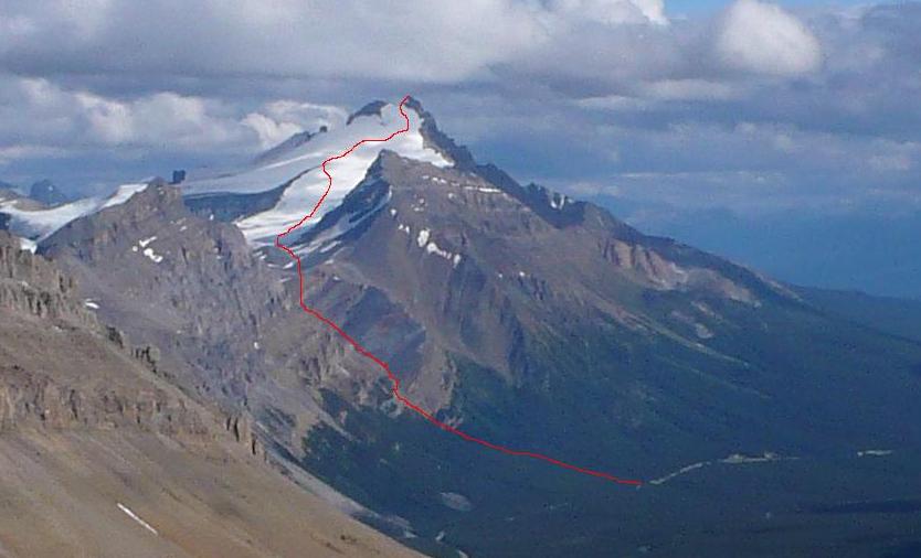
Click here to view the approximate route which is indicated with a red line.
|
|
|
Long distance overview of the North Glacier ascent route as seen from the summit of Cirque Peak. Click here to view the approximate route which is indicated with a red line. |