Elevation: 7070 feet Prominence: 4997 feet Location: 50:55.0 N 119:56.5 W Backroads Mapbook: Kamloops/Okanagan, Map #42:G5 Climb Duration: Half a day. Difficulty: Class 1
Driving Instructions: From Kamloops BC drive north on Hwy 5 (Yellowhead)
to the signed Sun Peaks Road. Turn right (east) and follow this paved road to the
Ski Resort Parking Area.
Description: Mount Tod is part of a
gentle uplands region northeast of
Kamloops, British Columbia. To my knowledge it is probably the easiest of the
British Columbia Ultra Prominence peaks and due to the Sun Peaks Ski Resort
located just to the south, it can be accessed year-round.
During the summer months the ski lift is in operation from 11 am-5 pm ($14.95 as of 2006)
which gives one ample time to have a leisurely breakfast prior to the ascent.
The ski lift terminates at approximately 6000 feet. From here, hike the road up to
“The Top of The World” area of the ski terrain. From Top of the World
simply follow the signs in a northerly direction
hiking through open meadows
and lightly forested terrain along road and/or trail to the
summit of Mount Tod.
If you take the ski lift up the mountain shortly after it opens at 11 am,
then it should be no problem to hike to the summit, enjoy a picnic lunch
and return to the top of the lift before 5 pm.
Note: It is also possible to ascend the mountain from the northeast
which has a bit more of a wilderness ambience. The road access via the
Cahilty Creek FSR is 4WD with
some deep gully crossings along the way.
From a local snowmobile club cabin located on a spur track off of the Cahilty Creek FSR,
it is possible to head generally SW up
forested terrain and then up moderately
steep slopes to intersect trails leading to the
summit of Tod.
While hiking in this area we spotted a large black bear grazing near the
snowmobilers cabin. This route can also be done in half a day,
however the extra driving and more complicated route-finding involved
would make this more of a full day outing from the ski resort.
I would not recommend this route unless you really want to get away
from the folks at the resort.
Photos from both routes (taken in August 2006) are included:
0670: An example of a way sign.
0671,
0672,
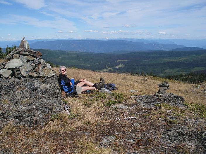
0673: Views from the summit.
0674,
0684: The summit cairn of Mount Tod.
0676: Forest terrain on non-recommended alternative route.
0679: Cahilty FSR
0680,
0681: Meadows en route from Top of the World area to the summit of Mount Tod.
0682,
0685: Views of Top of the World area from the summit of Mount Tod.