Date: September 5, 2005
Author: Adam Helman
Note 1: All NAD27 UTM coordinates are in zone 13S. Note 2: Click on the image for enlargement.
This effort was part of a larger journey
collecting Colorado county highpoints in early September 2005.
Approach
The approach directions are adequately provided in Dave Covill and John Mitchler's
Colorado highpoints guidebook.
Climb
John Hamann and I were entertained by unusually poor weather, the morning being dark and cloudy.
A trail parallels adjacent Treasure Creek, with several minor waterfalls, steeply west for
about 400 vertical feet. The critical creek crossing, from north to south, is at GPS-derived
UTM coordinates (351854 E, 4136381 N), elevation 11,379 feet. It lies directly west, and above,
an obvious, steep waterfall.
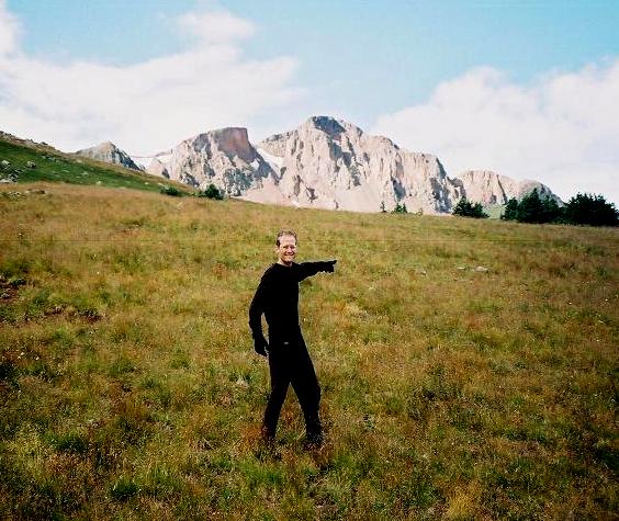
Summit Peak is visible as Adam
attempts to point it out.
After this stream crossing the route is reasonably straightforward.
John and I hiked west, paralleling the creek, about one-half mile before striking out specifically
for Summit Peak's southeast slope.
A light rain turned to solid precipitation at the 12,600 foot pass just east of Summit Peak.
Heck, this was only a tad past 8 a.m.! Fair weather prevailed as we climbed the southeast slope,
and we enjoyed good summit views.
John really liked my dried snap pea snack food - just one of several unique items
brought for the journey from California. He got to keep the balance - whence we descended
at 9:20 a.m. after some twenty minutes.
The weather was delightful, I dare say "sunny", farther down near the trailhead.
Once back at the automobiles I dutifully transcribed the creek crossing's coordinates for posterity.
I drank my V-8 (to replace potassium) and we caravaned to Conejos Peak for that afternoon.