West Quoddy Head Trip Report

West Quoddy Head, Maine - easternmost point in the Lower 48 states

Date: June 6, 2008
Author: Adam Helman

Note: Click on any image for enlargement.

This effort was part of a larger journey collecting state, national park, and Canadian provincial highpoints in June 2008.

With spare time owing to fairer weather I visit West Quoddy Head. A reference is available describing the lighthouse and its history.

general view
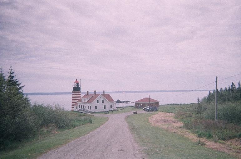
West Quoddy Head lighthouse
I drive east and then south on U.S. Route 1 (itself a novelty for myself - this lowest integer corresponding to the easternmost road in that highway system). Maine 189 and 191 complete the road travel as I pass through Lubec, America's easternmost town.

One may also approach West Quoddy Head from the southwest (such as from Acadia National Park) via U.S. Route 1; and also from Bangor, Maine via Route 9.

I park in the visitors lot and greet two women charged with overseeing the lighthouse museum. They express concern over my desire to reach the very easternmost point of land, attempting to dissuade me with photographs of ambulances from previous mishaps.

lighthouse closeup
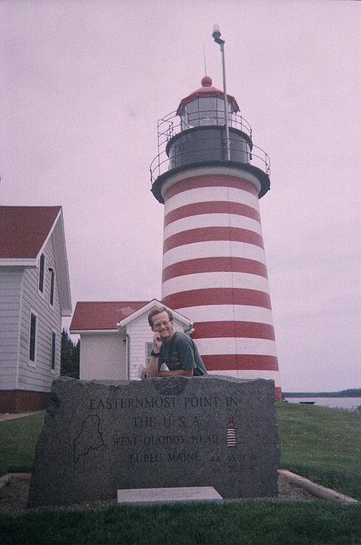
Adam and the lighthouse.
Note the engraved coordinates.
I ask if walking on the shoreline is illegal. The answer being "No", I return to my rental and change both clothing and footwear for an assault on the rocky, wet shoreline - one made accessible by strolling south along an obvious path from the lighthouse and then bearing left (east) onto a steep, narrow path through bushes to the beach itself.

The tides preclude citing a single, specific point of earth that is easternmost at all times. During my visit the tide is coming in (rising), and the ladies warn me that I could get stranded as a result. At one-inch per minute I am unconcerned, yet promise I will "be careful".

A few rocks lie perhaps one hundred (or 150) yards offshore, belong to the United States, and, at the lowest of tides, are connected to the mainland. They are inaccessible (without a flotation device) during my visit; and I satisfy myself that, since the easternmost point is time-dependent anyway, hiking/climbing to the momentary easternmost point suffices.

rocky shoreline
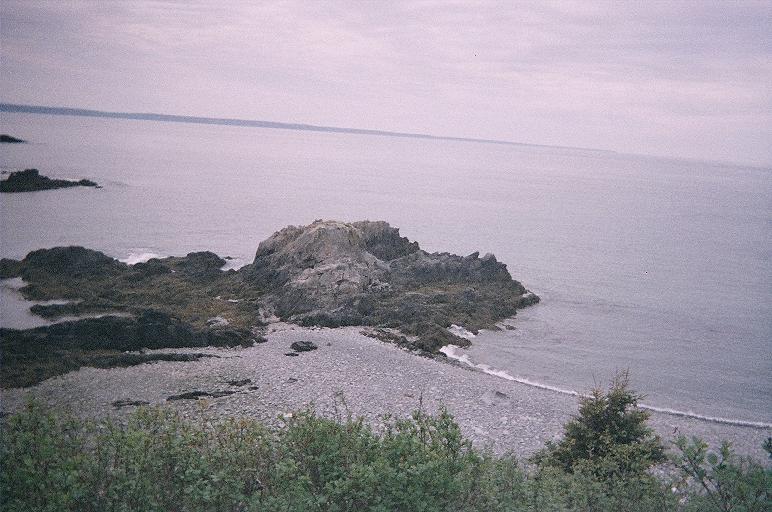
The far end of this rock is
momentarily the easternmost point.
Distant land is in New Brunswick.
At the beach I walk onto a rocky knoll bedecked with kelp on its north flank. The kelp being too slippery, I abandon that route and climb the knoll's rock face bound for its eastern ramparts (Class 3).... and, with arm outstretched, place part of myself directly above the momentary easternmost shoreline.

This silliness concluded, I return to the beach, ascend the bush-choked path, announce myself at the museum (to settle their minds), and drive for points obviously west.