|
New England and Canada June 2008 Trip Report © June and September 2008 Adam Helman |
| (Click on any image for enlargement.) |
|
|
|
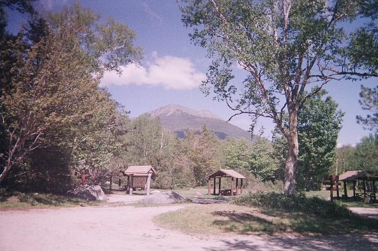
Katahdin - the Maine highpoint |
|
|
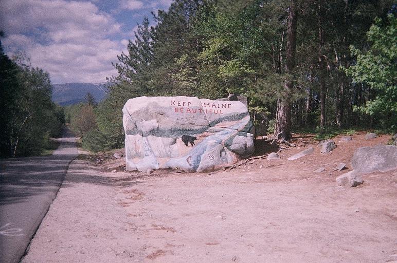
This roadside boulder just outside Baxter State Park is a glacial erratic from the Ice Age that sculpted New England. |
|
|
|
|
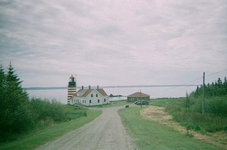
West Quoddy Head lighthouse |
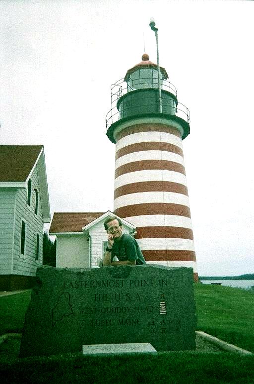
Adam and the lighthouse |
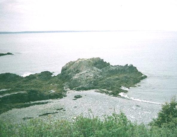
The far end of this rock is momentarily the easternmost point. Distant land is in New Brunswick. |
|
|
|
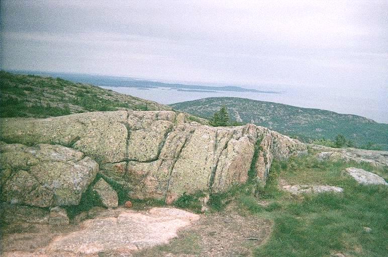
The benchmarked highpoint atop Cadillac Mountain |
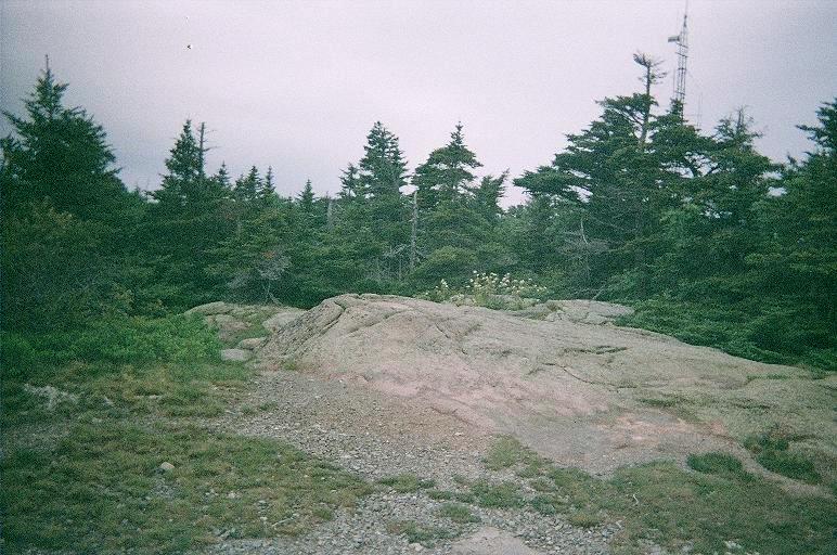
The alternate possible highpoint |
|
|
Adam at the closest we'll get to Jacques-Cartier's summit. |
|
|
|
|
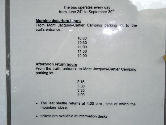
Jacques-Cartier bus schedule |
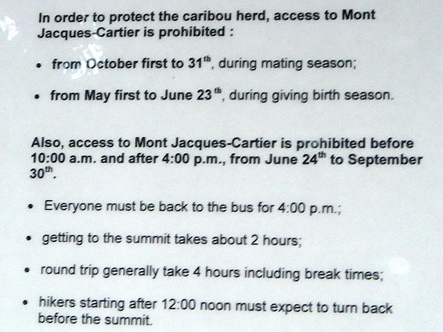
Jacques-Cartier general access restrictions |
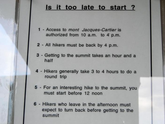
Jacques-Cartier estimated hiking times |
|
|
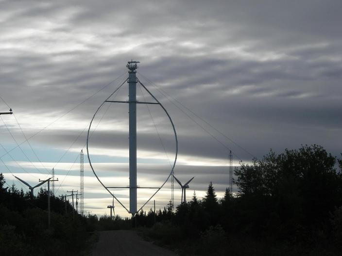
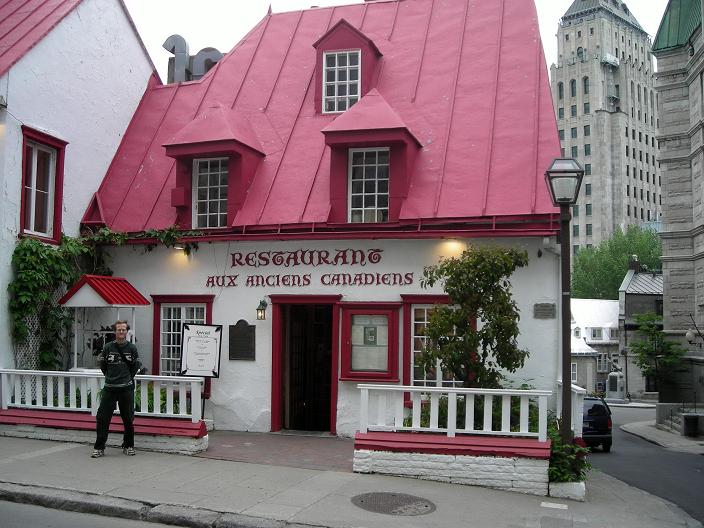
| tallest vertical axis windmill on Earth | in Quebec's old quarter |
|
|
|
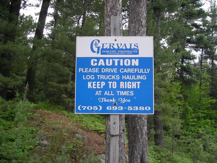
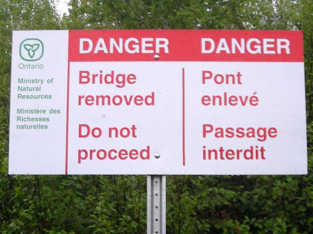
| Ishpatina Ridge - self explanatory | Ishpatina Ridge - self explanatory |
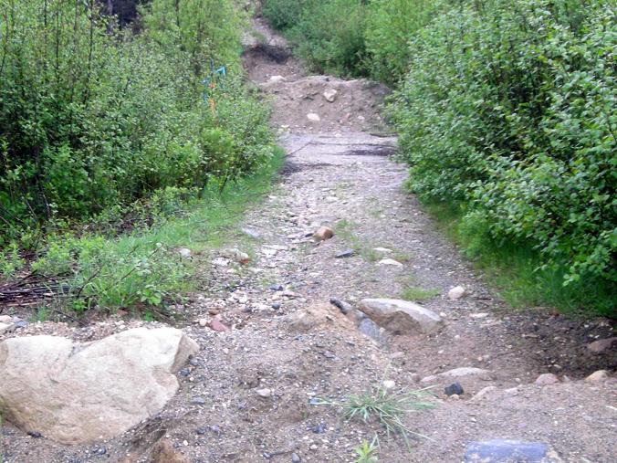
Ishpatina Ridge - bermed road at the bridge washout |
|
|
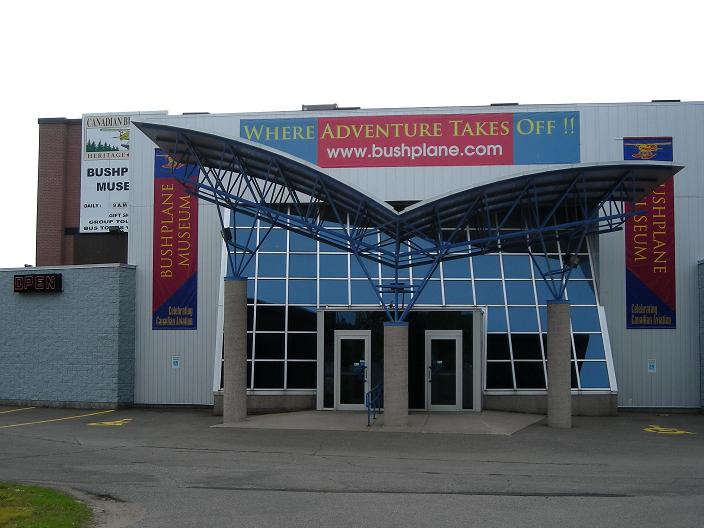
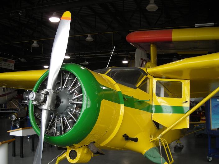
| bushplane museum | perfectly restored vintage airplane |
|
|
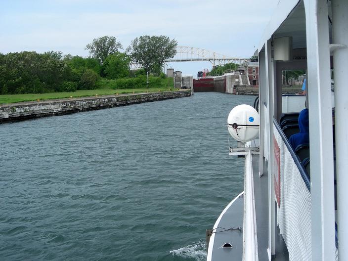
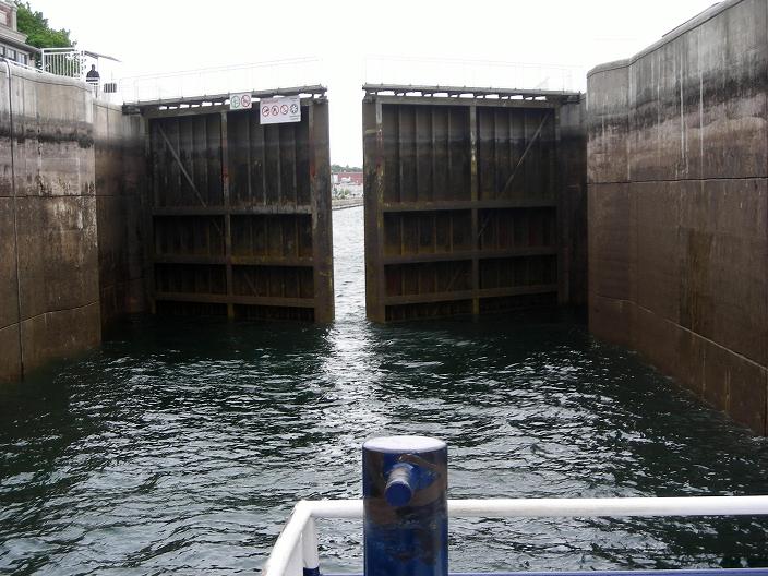
| Sault Saint Marie - entering the lock | Sault Saint Marie - inside the lock |
|
|
|
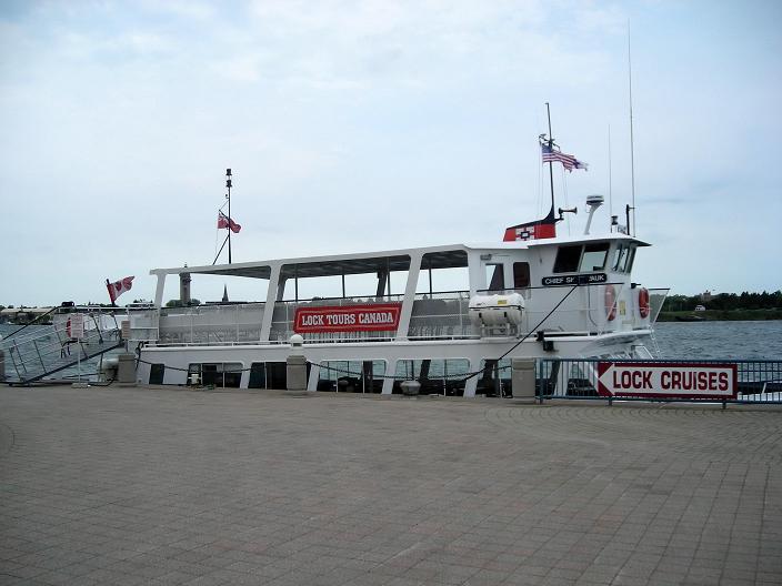
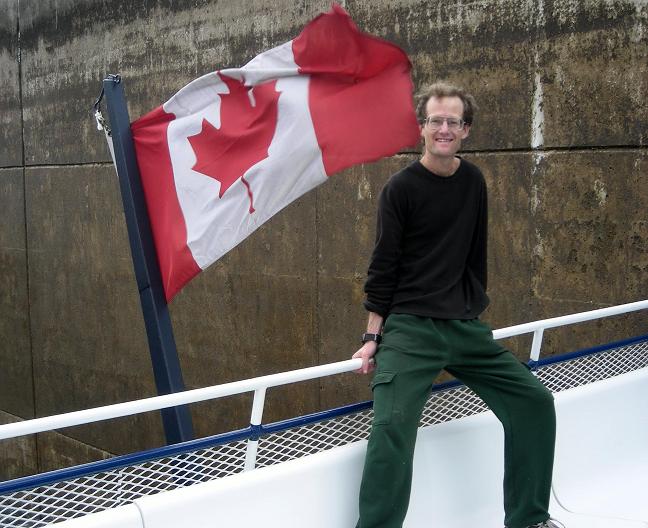
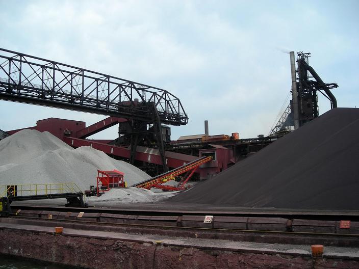
| Soo Locks tour boat | Canadian maple leaf and Adam onboard | shoreline iron ore mining operations |
|
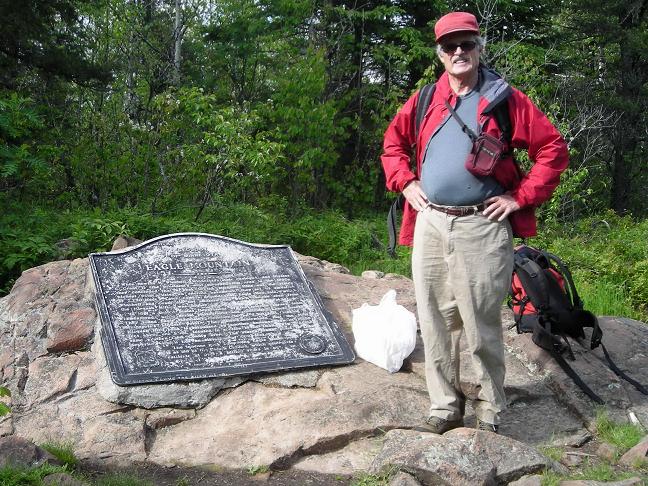
| Bob at Eagle Mountain's summit. |
|
|
|
|
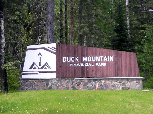
Baldy Mountain - along the main road |
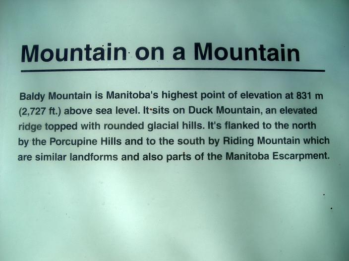
self explanatory |
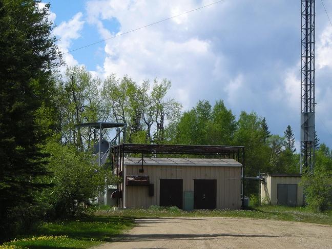
Baldy Mountain - highest ground is likely behind and left of these structures in heavy brush. |
|
|
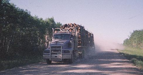
A logging truck barrels north on Saskatchewan 9, creating a large dust cloud in its wake and seemingly unmindful of other vehicles. Strangely, empty trucks were southbound. What is under construction in the far north? |
|
|
|
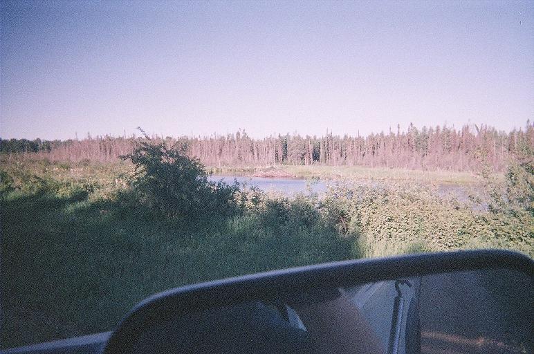
A beaver pond and meadow in Saskatchewan |
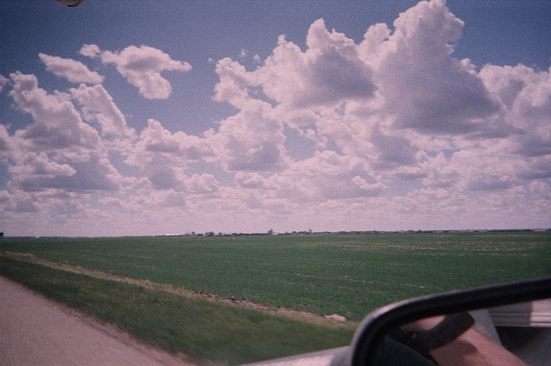
Saskatchewan farmland |
|
|
|
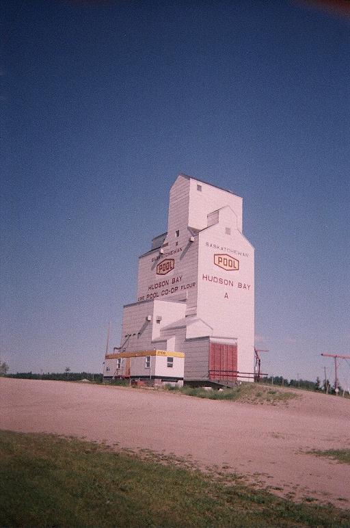
A grain elevator in Hudson Bay, Saskatchewan |
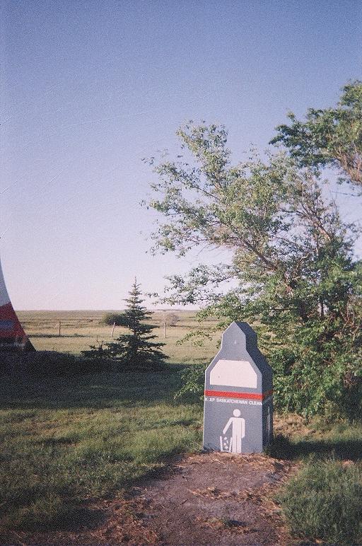
"Keep Saskatchewan clean." |
|
|
| somewhere in the Cypress Hills |
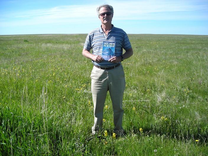
Bob at the Saskatchewan highpoint. "Not Won in a Day" describes the Canadian provincial highpoints. |
|
|
in southwest Saskatchewan prior to entering Montana |
|
|
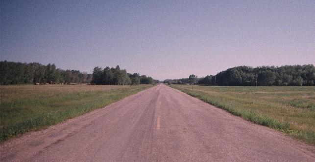
The flat expanses of Canada's grain belt are exemplified in this Saskatchewan road. |