Upper Missouri River Breaks National Monument Highpoint Trip Report
Date: June 22, 2008
Author: Adam Helman
Note: All coordinates use the WGS84 datum.
This effort was part of a larger journey
collecting state, national park, and Canadian provincial highpoints in June 2008.
From Denton, Montana on Route 81 drive east roughly one mile and bear left on a
county road at (47.31881° N, 109.91478° W).
Zero odometer. Drive the main road as follows (distances in statue miles).
2.6 Turn right (east).
3.6 Turn left (north).
4.6 Turn right (east).
6.3 Turn left (north).
7.8 Go straight (north) at a junction.
9.4 Turn right (east) at a junction.
9.9 Turn left (north).
10.7 Road bends slightly right (northeast), then returns to north.
13.0 Road bends slightly right (northeast), then returns to north.
13.9 Turn right (east).
14.9 Turn left (north).
16.5 Junction - disregard road from east.
17.5 Park at where the road bends from north to east.
The county road grid is gravel and goes by quickly.
The road bend where one parks as described above has coordinates ((47.50427° N, 109.79831° W).
From the carpark the main 3,600+ foot contour lies west-northwest.
Begin by hiking north along the fenceline and then strike out west after gaining the
obvious plateau. Walk along the southern edge of a farm field until reaching
its southwest corner. Inspect the field until satisfied one has been at or near its highest ground.
A second 3,600+ foot contour is located 500 feet due west and is mismarked on the USGS chart
with light lines rather than the bolder lines of a main contour.
To get there proceed west from the main contour, losing perhaps 50 feet of elevation
before regaining it on the obvious hilltop.
Bob Packard and I consumed 49 minutes from camper to camper at a leisurely pace.
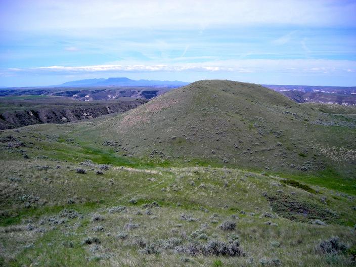
Hill supporting the second 3,600+ foot contour
(mouse-click to enlarge).