Baraga County Highpoint Trip Report
Date: June 14, 2008
Author: Adam Helman
Mouse-click on any photograph for enlargement.
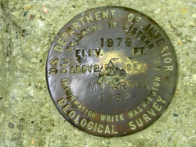
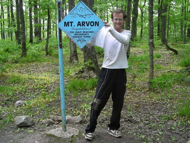
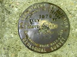
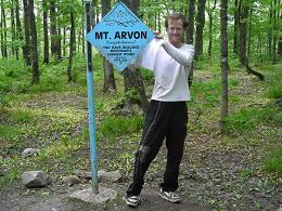
Mount Arvon (1,979 feet) - new, all-driving route
This effort was part of a larger journey
collecting state, national park, and Canadian provincial highpoints in June 2008.
Drive Ravine River Road 7.2 miles, i.e. 0.2 mile farther than as described in
Holmes, Highpoints of the United States. Bear right onto a side road here at
WGS84 (46.75210° N, 88.14391° W), elevation 1,814 feet.
Proceed 0.1 mile and bear right at a second junction with coordinates
WGS84 (46.75641° N, 88.14535° W), elevation 1,786 feet.
Continue to road's end and walk an obvious trail mere yards to the summit.
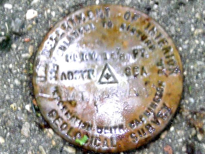
Mount Curwood (1,978 feet)
The State Highpointers have decreed that Mount Arvon is all one need visit.
Given the closeness in Arvon's and Curwood's elevations (a mere 11 inches),
this concept is not in the spirit of county highpointing practice
wherein two summits within a foot elevation of one another would certainly
both be visited for credit.
As of 2008 the directions given in Roy Schweiker's report
remain valid. Bob Packard and I walked amid light drizzle to the summit mailbox -
perhaps 200 yards horizontal from the road's end.
|
|
|
|
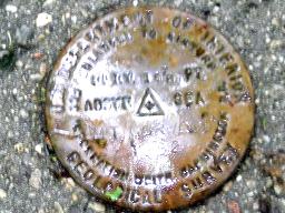
Mount Arvon benchmark
|
Adam at Arvon's summit
|
Mount Curwood benchmark
|