Blaine County Highpoint Trip Report
Date: August 3, 2011
Author: Adam Helman
note 1: All coordinates are in the WGS84 datum.
note 2: Mouse-click on the image for detail.
This effort was part of a larger journey
collecting Idaho and Washington county highpoints in July 2011 and early August 2011.
To access the bridge noted in Edward Earl's report hike left (north) about 50 yards.
|
|
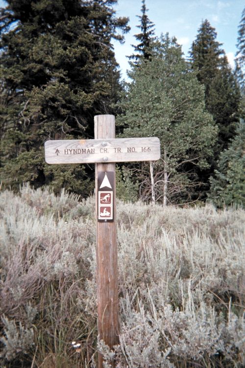
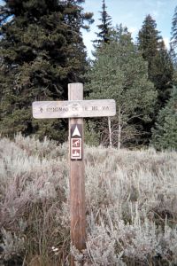
The relevant trailhead sign.
|
A climber's path now exists, and goes at least to the 10,800 foot saddle.
Thereafter its existence is useful largely to verify that one is taking the "correct"
general direction since its small rubble is perhaps more problematic, on-descent, then just
going down the talus in-parallel.
As measured by my GPS unit, we have the following elevations.
(43.69967° N, 114.18843° W) at 7,076 feet - trailhead (atop the vehicle)
(43.74939° N, 114.13120° W) at 12,014 feet - summit
Note the trailhead is incorrectly placed on the 24,000:1 topographic chart some 150 yards
too far south - and suggesting it lies below 7,000 feet. Satellite imagery corroborates
the above GPS-derived elevation and location.
The initial creek crossing is perhaps 25 feet below the cited trailhead.
Hence the net elevation gain is about 4,970 feet and the total elevation gain
is just barely below 5,000 feet.
Blaine County is not a 5,000 foot elevation gain county.