note: All coordinates are in the WGS84 datum.
This effort was part of a larger journey
collecting Pacific Northwest county highpoints in summer 2012.
I was expecting a 'classic' hike as described in Edward Earl's 2002 trip report.
Unfortunately the interventing decade has witnessed a degradation in the trail conditions
(unless Edward did not care to note the following issue).
There are five stream crossings, none of which have a bridge to aid hikers.
The first and broadest,
without even a log, is some two air miles from the trailhead at (43.97124° N, 114.90775° W).
Crossing these streams can be tricky with a high flow rate, and consumes an inordinate amount of time
to exchange boots for flip-flops or going barefoot. Mitigating the time issue, I simply wore my boots
with the intention of drying them the next day using car heat in the right passenger foot well.
Edward cites a
critical trail junction
where one bears right, eventually reaching the saddle immediately northeast of
Snowyside Peak. I obtain (43.94007° N, 114.95254° W) at 8,923 feet,
and also recommend this approach tactic.
The summit area features Class 3 rock scrambling along with some interesting navigation.
Just continue, generally north, until it's obvious that there's nothing higher in that direction.
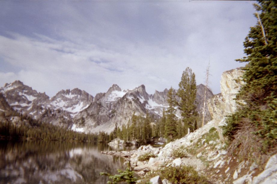
photographs
Alice Lake with sawtooth-like ridgeline as background
during the approach hike to Snowyside Peak.