Gem County Highpoint Trip Report

Date: June 24, 2009
Author: Adam Helman

This effort was part of a larger journey collecting Idaho, Montana, and Washington county highpoints in late June and early July 2009.

From Edward Earl's report I learned that a 3,000+ foot prominence, as Snowbank Mountain, could be nabbed while visiting Gem County. Thus I drove the Snowbank Mountain summit road and camped overnight near the west summit's radar facilities.

Before supper I located what appears to be the highest natural ground, for Snowbank's west summit, as a boulder immediately south (or southeast) of the leveled area. A tree is growing atop the boulder; and so roots impede access to the boulder's tippy top.

In the morning I donned new, untested crampons because the first few hundred feet towards the Gem County highpoint is a descent which had hard, crusty snow in the early hours. After this roughly 300 foot downclimb I cached the crampons, with GPS-derived waypoint, under a tree near the largely hidden jeep track I attempted to follow.

Gem County consumed more time than "normal" owing to lingering snow, I believe some 3 1/4 hours for reaching the highpoint at WGS84 (44.49814° N, 116.15468° W), measured elevation 7,959 feet.

On the return I retrieved my crampons, absolutely filthy from trudging through mud that had but recently been covered in snow. I dredged them through snow in the attempt to clean them before securing them in a crampon bag, thence lashed to the side of my daypack.

I trudged uphill, cross-country, to the eastern summit of Snowbank Mountain. Progress was slow, and tiring, as the snow was now quite soft and at times deep. It was a thankless exercise that is avoidable by arriving later in the season.

After an eastern summit snack I trekked back, partly on the snowbound connecting road, to the western summit and my waiting vehicle.
radome highpoint
The FAA summit radar facility at
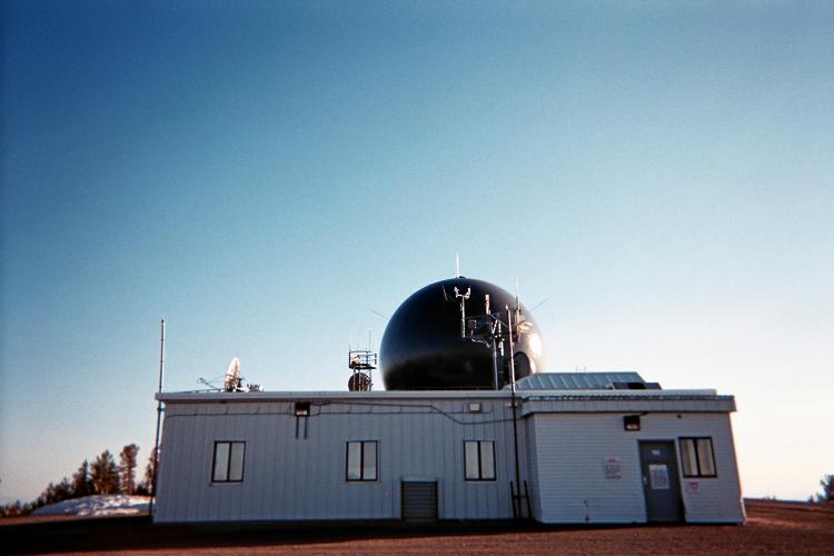
Snowbank Mountain's west summit.
The Gem County highpoint seen
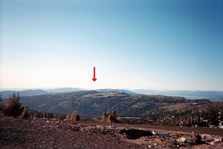
from atop Snowbank Mountain.
(Mouse-click for detail.)