Plymouth County Highpoint Trip Report
Date: May 20, 2012
Author: Adam Helman
note 1: All coordinates are in the WGS84 datum.
note 2: Photographs are by Ethan Paquin.
note 3: Mouse-click photographs for enlargement.
This effort was part of a larger journey
collecting New England county highpoints in May 2012.
There is a footpath leading southwest from the highway's south side some 75 feet east
of the highway's junction with the negatively-signed dirt track. Said path meets the dirt track
after about 100 feet, whence the track may be hiked to the highpoint areas.
On reaching the 395 foot primary candidate note three ATV tracks heading generally south (as of 2012).
Walk the middle track for several hundred feet, south, until just before it starts to descend more steeply
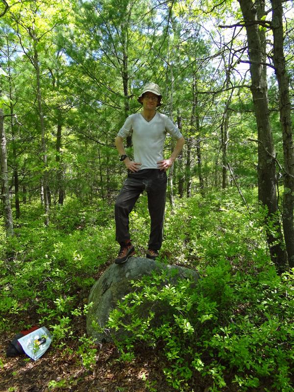
at (41.92574° N, 70.59070° W). Then turn right (west) and bushwhack for 200 feet to a two foot tall
boulder
at (41.92567° N, 70.59156° W) which appears to be the highest natural object within the
second possible highpoint contour (390+ feet).
A footpath to its immediate west does not return
you directly to the 395 foot area; rather, it leads to another ATV track which is then taken east, uphill,
to reach the 395 foot spot elevation.
On my return to the highway Ethan Paquin meets me going the other way. I re-do both contours with him
because the above nearly bushwhack-free route had not been documented. Ethan had come because of Barnstable
County access set for 3 p.m. this afternoon just one county away.
Access issues for this highpoint appears to have either nearly or entirely vanished.
|
Adam atop the south
contour's high ground.
|