Gallatin County Highpoint Trip Report

new trailhead and route information

Date: August 4, 2010
Author: Adam Helman

note 1: All coordinates are in the WGS84 datum.
note 2: Mouse-click on any image for detail.

This effort was part of a larger journey collecting Idaho and Montana county highpoints in August 2010.

former trailhead
Well into the approach hike
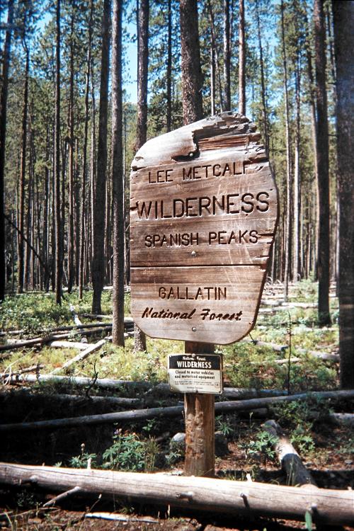
one finds this former trailhead.

The Dudley Creek trailhead is located 1.6 miles along the approach road from Route 191 here at (45.28216° N, 111.26617° W) with a 6,635 foot elevation.

To get there one drives 1.1 miles from Route 191 with parking available on the right (north) side. One then walks the remaining 0.5 mile, with 200 feet of elevation gain, to the cited trailhead.

There is now private property which forces a re-routing of the trail around its southern edge immediately at the trailhead. The new route loses maybe 25 feet of elevation after leaving the property's vicinity. Together, these items raise the total elevation gain by 250 feet relative to what once-was.

summit tower
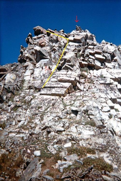
The summit tower looms above.
See the text for a description.

After a few miles of relatively level hiking one finds a sign suggesting the former trailhead at (45.29164° N, 111.28105° W) with 7,169 feet.

The trail steepens as it passes through and exceeds the 8,000 foot contour. On reaching about 8,900 feet it levels-out and heads west. Be sure to make this turn. The 1:24,000 USGS chart incorrectly shows the trail turning left (west) at about 8,400 feet. That is incorrect. The trail continues steeply north until roughly the "N" of "GALLATIN" before heading west.

The summit ridge features amazing, sedimentary-layed rock formation about one-half way from the 9,860 foot saddle to the summit. Some of the rocks are completely upended (see photograph)!

There are three summit "bumps" - and the county highpoint lies farthest southwest as the third and highest of these features. When ascending the ridge, what appears to be the top is actually just the first of these three. It is inadvisable to traverse directly along the ridge from the second to third bump. Rather, contour around the south aspect of the second bump, reaching a relatively level area south of the ridge and immediately southeast of the summit tower (third bump).

I leave my pack at its base and climb the indicated route (see photograph), making perhaps a single Class 4 move when exiting the obvious notch to its left. From there it is easy rock-hopping to the summit rock shown under the red arrow.

The net elevation gain is 4,300 feet by this route; the total elevation gain 4,600 feet.

horizontal rock     vertical rock
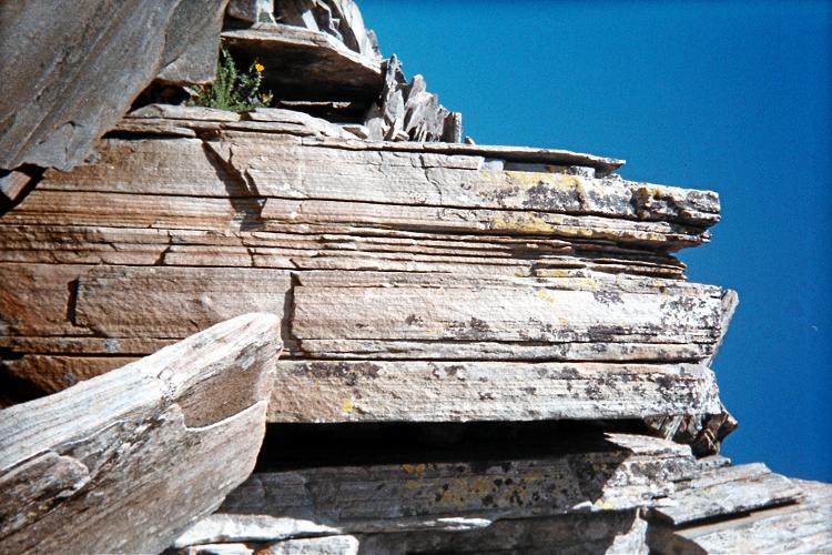
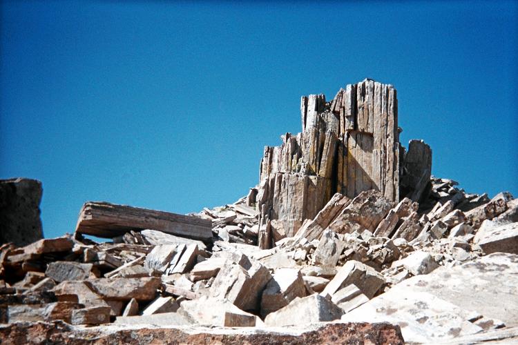
These sedimentary rocks are roughly halfway from the
9,860 foot saddle to the county highpoint.
The forces needed to upend such rock are enormous!