Carroll County Highpoint Trip Report

Sandwich Mountain Trail - coordinates and condition update

Date: May 25, 2012
Author: Adam Helman

note 1: All coordinates are in the WGS84 datum.
note 2: Mouse-click either image to enlarge.

This effort was part of a larger journey collecting New England county highpoints in May 2012.

It is 9.9 road miles from Interstate-93 to the turnoff for both Drakes Brook and Sandwich Mountain Trails.

There is no longer any fee at the trailhead(s).

Sandwich Mountain Trail begins by heading west to pass by an electric relay station, enters the forest, and then drops about 20 feet to cross a stream less than 1/4 mile from the parking area. On my visit the stream had about 6 or 8 inches of water and was perhaps 15 to 20 feet wide.

I started out wearing green thongs right from the car to obviate putting boots on twice. Similarly, on the descent (and starting at the stream - not from the top!) I simply wore thongs to the car - at which point I changed directly into tennis shoes.

Beyond this stream crossing the trail is indistinct in a couple locations along the first one-half mile of its continuation beyond the opposite bank. These coordinates may assist in case the trail is lost.

On returning to my car it suddently started to rain as I untied the boots from my pack while the mosquitoes bit relentlessly - an unwelcome finish to my New Hampshire state completion.

no fee TH sign
There is NO FEE at the
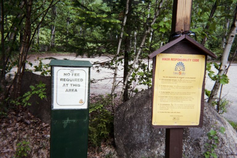
trailhead parking lot.
Distances along the
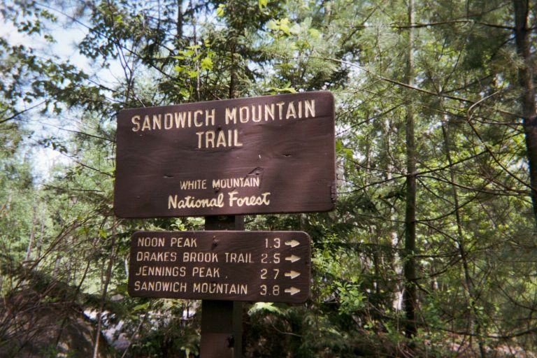
Sandwich Mountain Trail.