Strafford County Highpoint Trip Report
Date: May 24, 2012
Author: Adam Helman
note: All coordinates are in the WGS84 datum.
This effort was part of a larger journey
collecting New England county highpoints in May 2012.
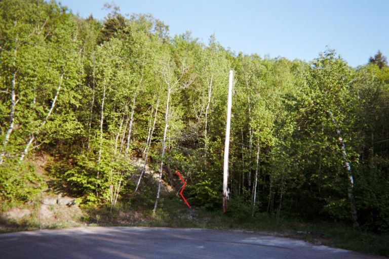
There is no negative signage along any of the roads for a western approach to this highpoint.
From the southeast corner of the parking lot (where I slept the night in my rental)
hike about 100-150 feet uphill on the obvious path to reach
this "T"-junction
at (43.53671° N, 71.11875° W) with a much more substantial trail. Take it right (south)
and proceed to the highpoint liner. After using this larger trail for a few hundred feet
I then chose to bushwhack south directly to the liner rather than go via
the top of Copple Crown Mtn.
The air distance from parking lot to liner area is only 0.31 mile; and just 0.24 mile from where I
departed the southbound trail.
|
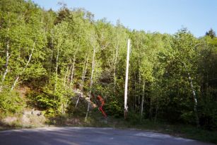
Trail is indicated by red line
immediately left of the pole.
(Mouse-click to enlarge.)
|