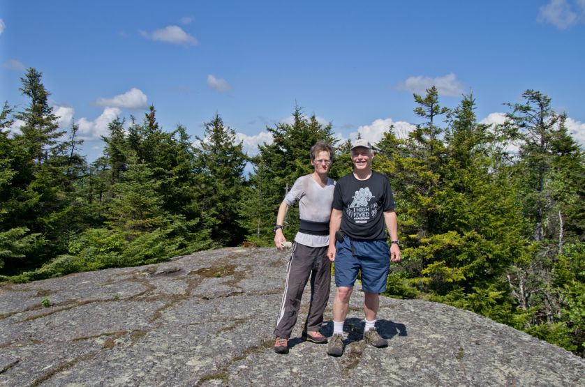
Adam (at viewer left) and Steve Brown.
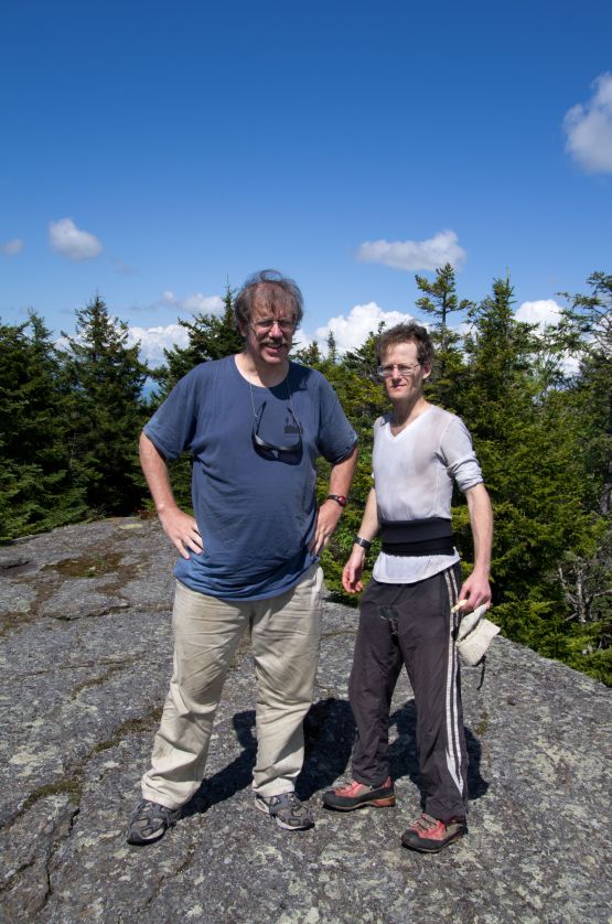
Adam and David Olson
new coordinates
Date: May 23, 2012|
Adam (at viewer left) and Steve Brown. |
This effort was part of a larger journey collecting New England county highpoints in May 2012. We met near the Croydon, New Hampshire Fire Station at (43.45078° N, 72.16211° W) four road miles south of Interstate-89. After accepting fifty dollar payments and signing a waiver, our host drove us in his pickup truck west on Loverin Hill Road to the desired trailhead. The old ATV track one hikes northeast to the Croydon Peak summit is returning to nature. The following coordinates may be of benefit to future highpointers who might otherwise be unable to find the track and thus remain on-route. |
Adam and David Olson |
|
|
|
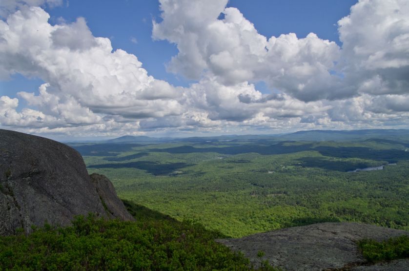
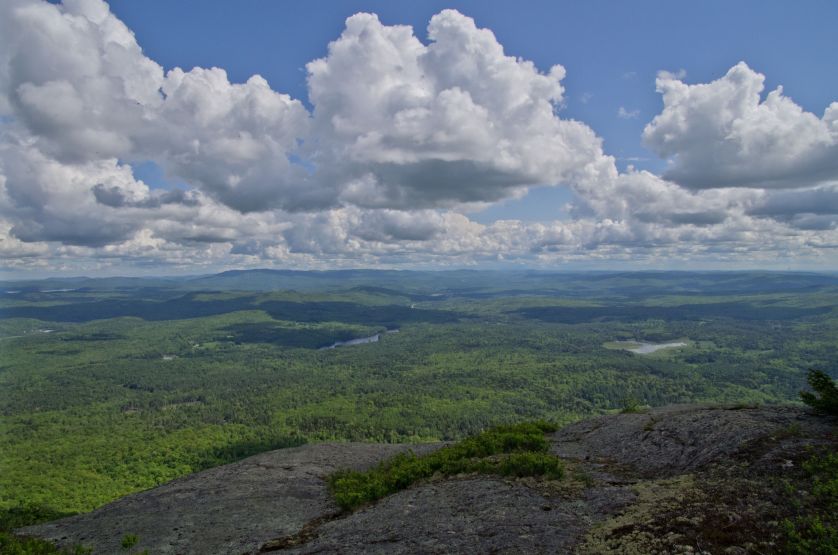
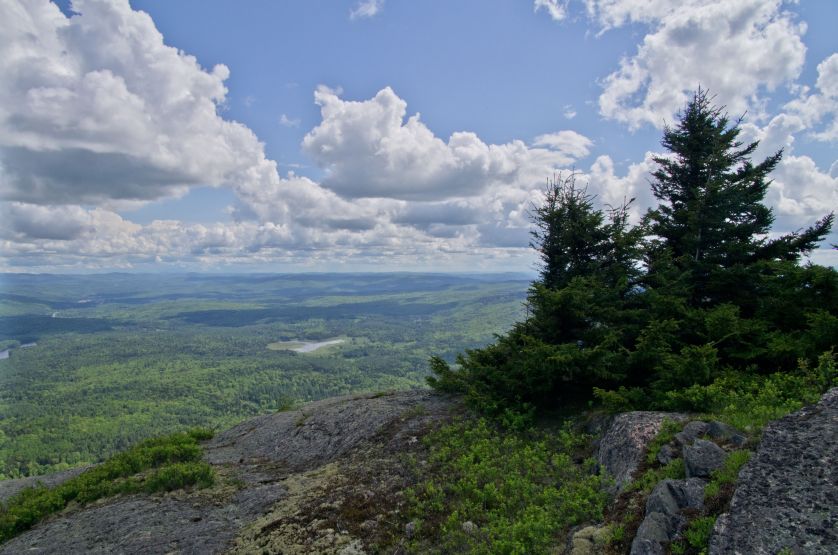
| summit view number one | summit view number two | summit view number three |