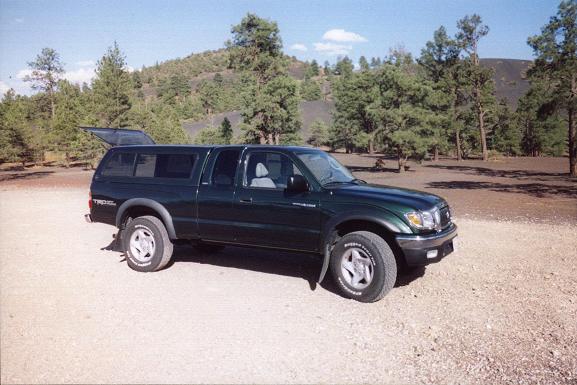
Sunset Crater National Monument.
|
Colorado August 2005 Trip Report © August 2005 Adam Helman |
| (Click on any image for enlargement.) |
|
|
|
My Tacoma truck parked at Sunset Crater National Monument. |
|
|
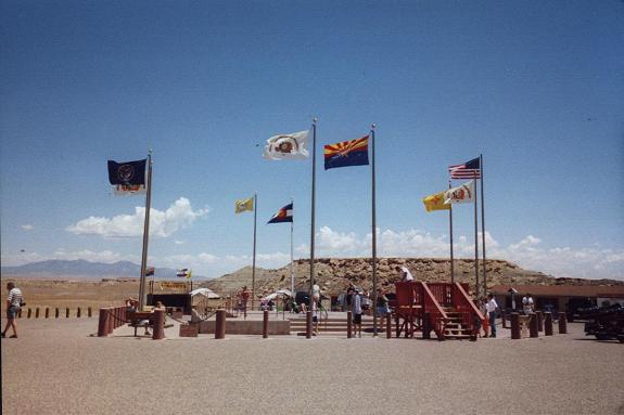
Four Corners National Monument |
|
|
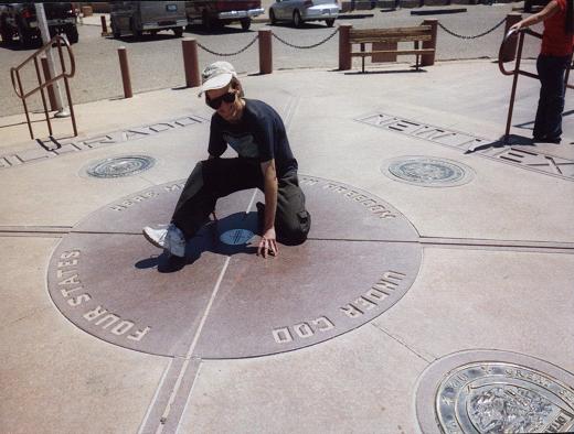
Kneeling at Four Corners with a limb in each state. |

|
|
Tailgate supper after Greenhorn Mountain. Note the stilton cheese soup. |
|
|
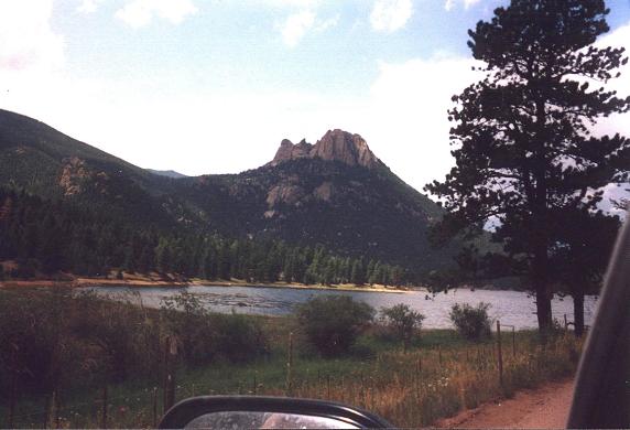
Wellington Lake and rock formations two miles north of Stoney Pass. |
|
|
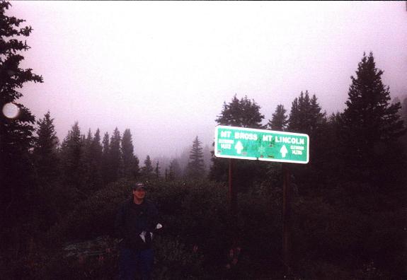
Tim Worth and invisible fourteeners at Hoosier Pass on Route 9. |
|
|
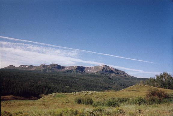
Flat Top Mountain has over 4,000 feet of prominence. |
|
|
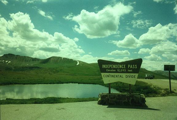
Independence Pass is the highest point on Route 82 - 12,095 feet. Note the lush, green alpine tundra and residual winter snow. |
|
|
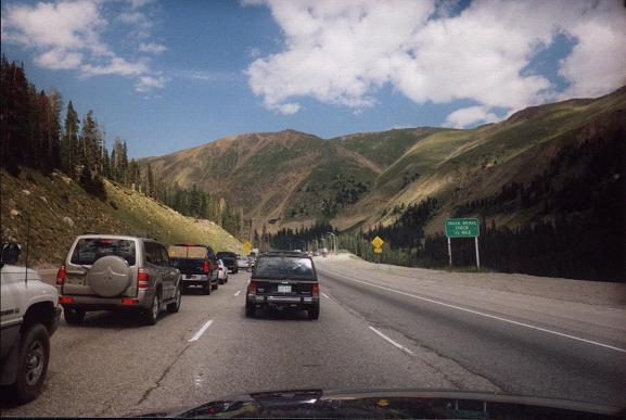
A traffic jam immediately west of the Eisenhower Tunnel on Sunday afternoon as Denver residents return home. |
|
|
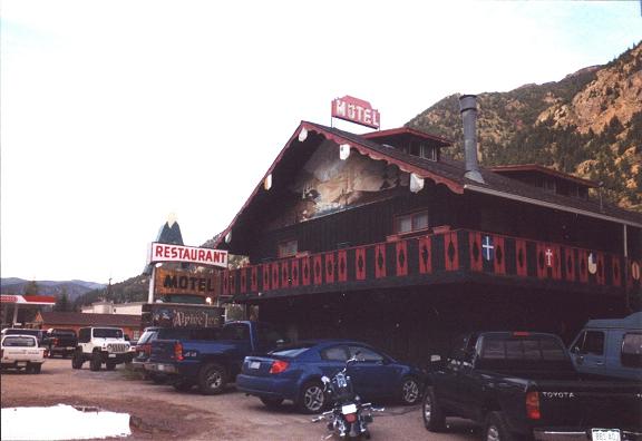
The Alpine Inn Motel in Georgetown has a restaurant serving German food after 2 p.m. - and breakfast at all open hours. |
|
|
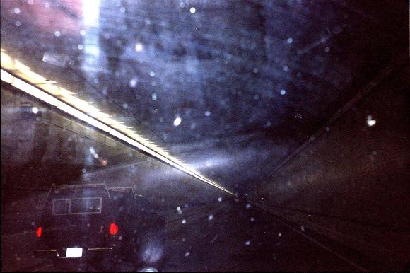
Westbound inside the Eisenhower Tunnel at 11,300 feet - the highest point on I-70. Stupidity was mandatory to have taken this photograph while driving the narrow roadway. |
|
|
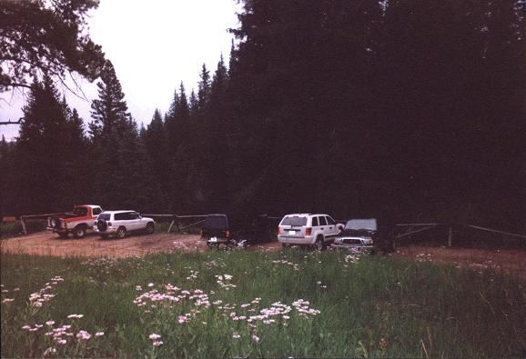
The Half Moon Trailhead parking lot, as with all rural Colorado, is dominated by pickup trucks and SUVs. |