(photo by Greg Slayden)
|
|
|
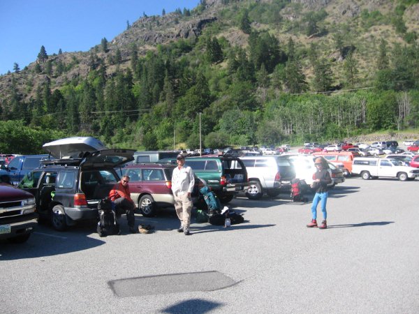
Parking at Fields Point (photo by Greg Slayden) |
|
|
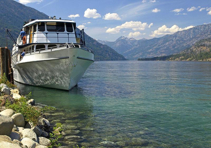
Lady of the Lake |
|
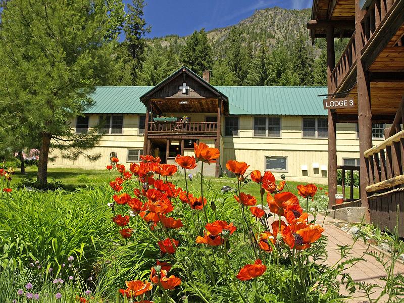
| at Holden village |
|
|
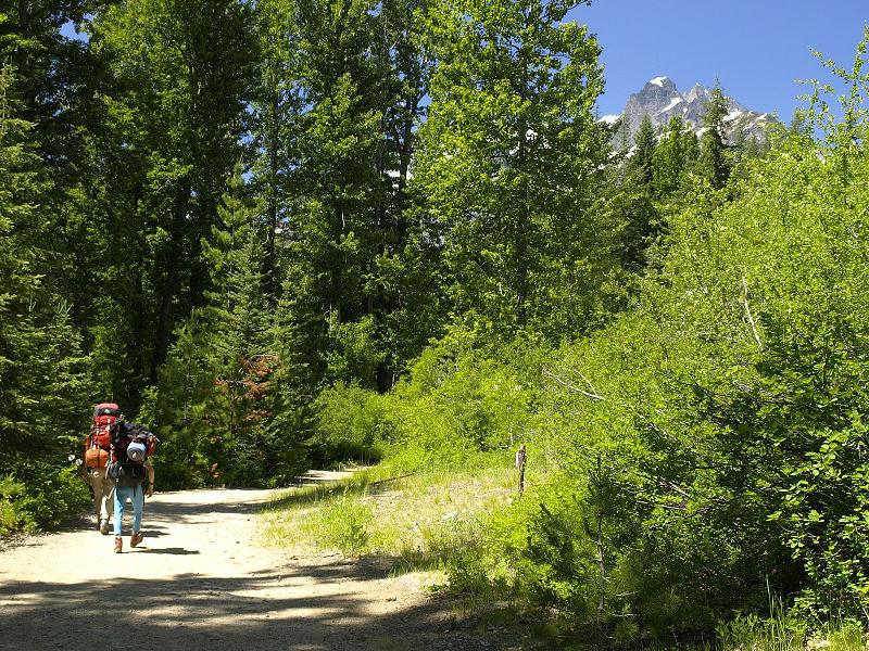
Bonanza Peak looms WAY above as we start uptrail from Holden. |
|
|
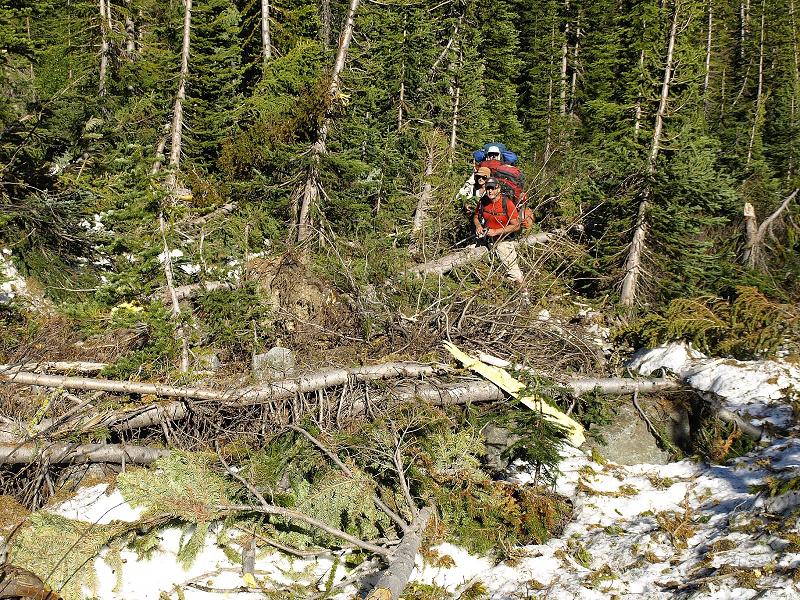
Devastation by the avalanche makes for rougher travel. |
|
|
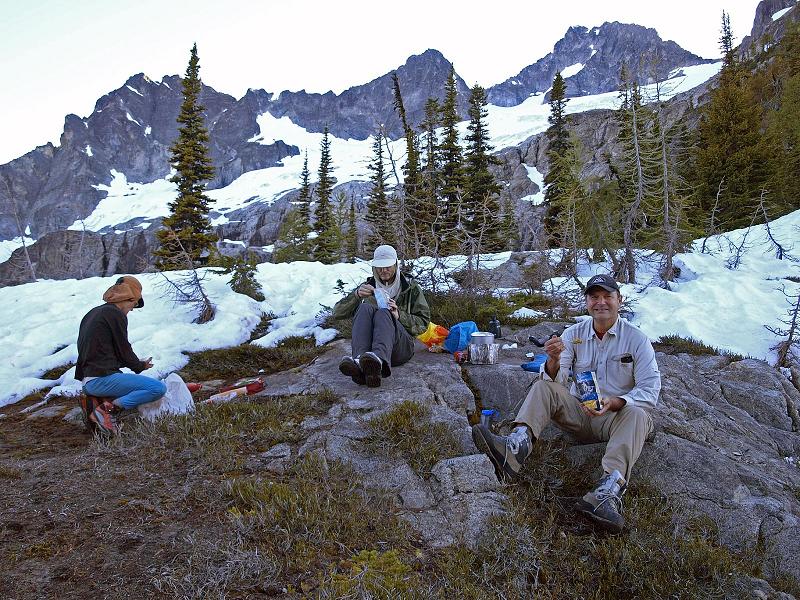
supper at Holden Pass |
|
|
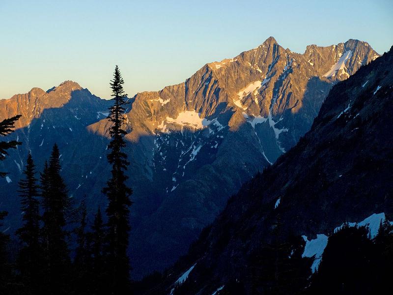
Sunrise on neighboring peaks. |
|
|
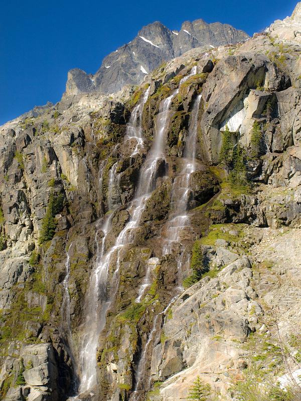
Waterfalls avoided on the ascent. |
|
|
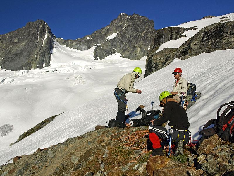
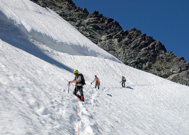
Preparing for glacier travel. Our goal is at top center above Greg's back. |
|
|
|
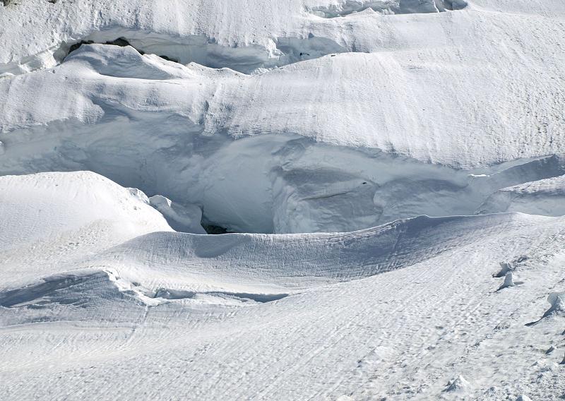
Gaping crevasses on the Mary Green glacier. |
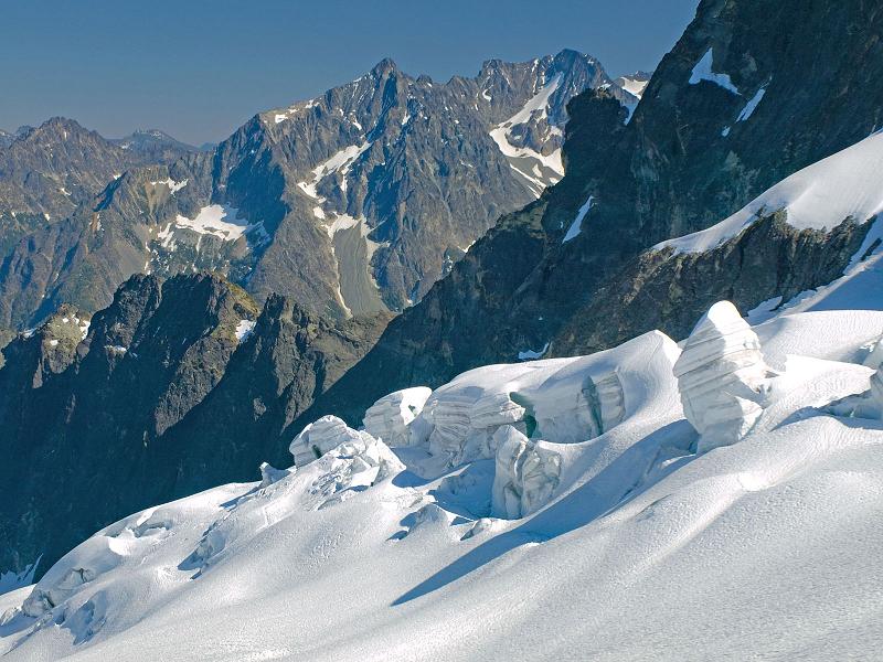
House-sized seracs on the Mary Green Glacier. |
|
|
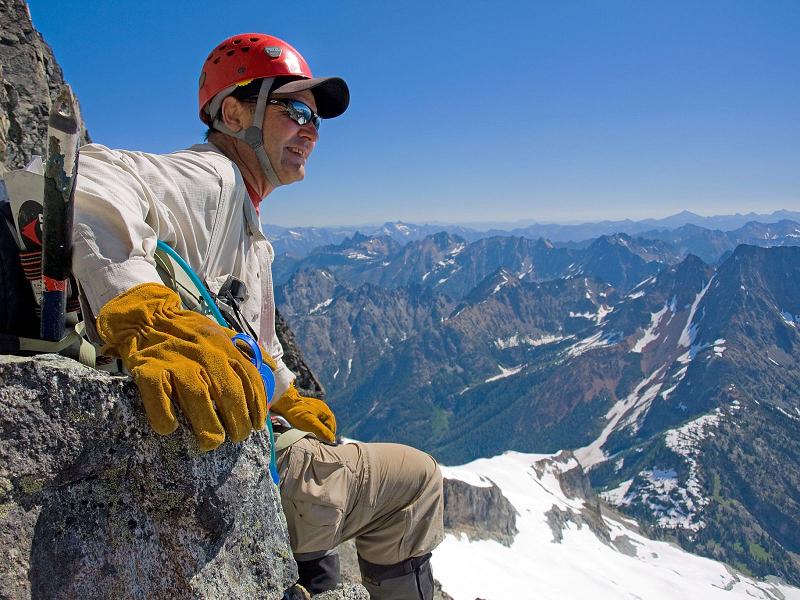
Dennis enjoys the view. |
|
|
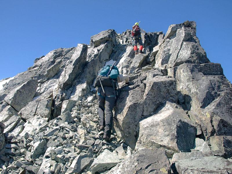
Steep rock just below the summit ridge. Greg in foreground, Adam higher up. |
|
|
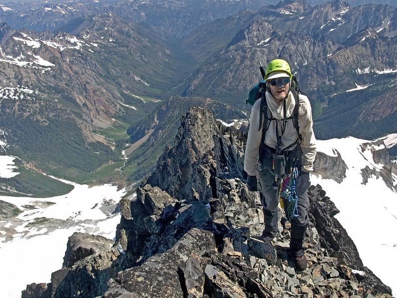
Greg on the narrow ridgewalk. |
|
|
|
|
Grant Myers at the summit. |
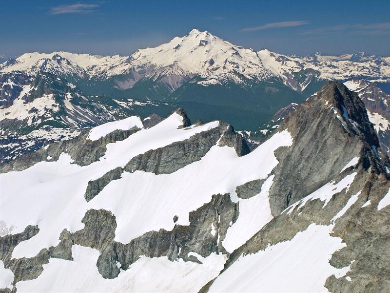
Glacier Peak at the summit. |
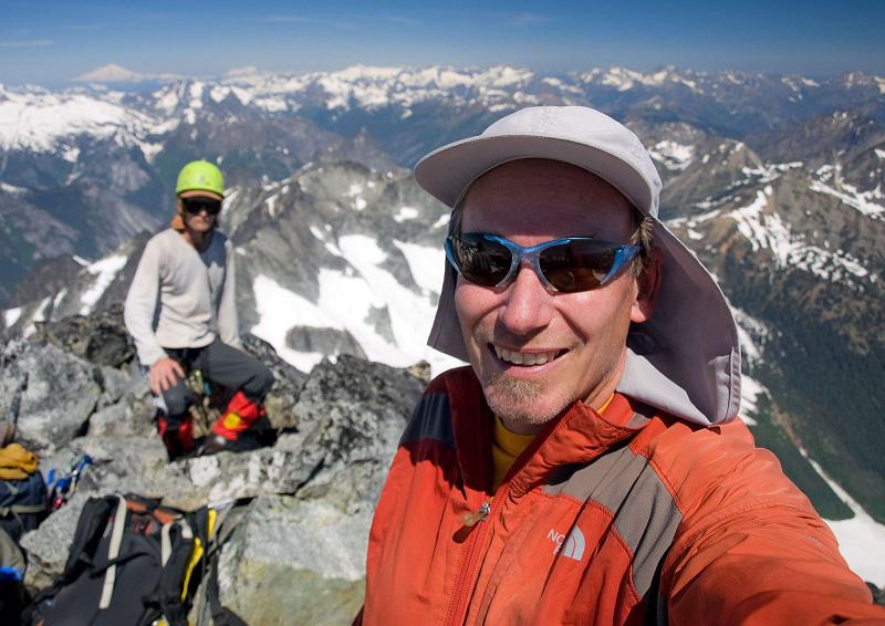
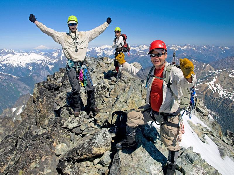
Greg (left), Dennis (right), and Adam atop the confined summit area. |
|
|
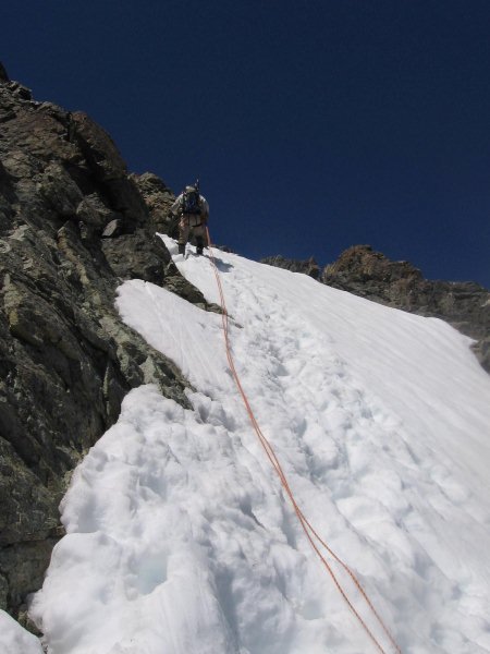
Our first rappel has us postholing in steep snow. (Photo by Greg Slayden) |
|
|
|
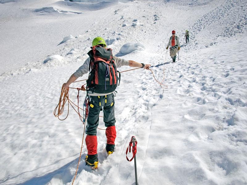
Traversing on-descent. Adam is clipping-through a picket. |
Adam "reels-in" Dennis at a break to remove crampons. |
|
|
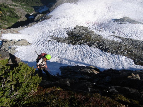
Adam rappels the cliff band with late afternoon shadows. (photo by Greg Slayden) |
|
|
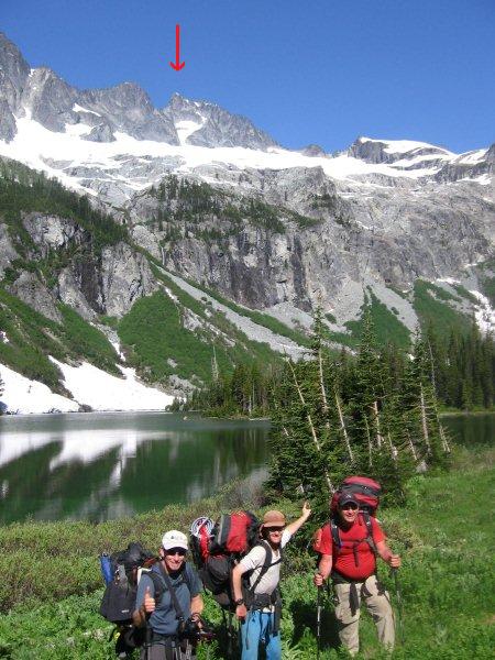
The summit (red arrow) seems unattainable from Holden Lake. (photo by Greg Slayden) |