Klickitat County Highpoint Trip Report

useful approach information

Dates: June 25, 2010
Author: Adam Helman

This effort was part of a larger journey collecting summits in late June and early July 2010.

note: NAD27 UTM coordinates for these junctions are obtained by going View -> Source when reading this web page in your browser. Alternatively, WGS84 latitudes and longitudes may be read from the address bar after linking to Acme.com.

Zero odometer at Satus Pass along US Route 97.

At 1.7 miles reach a junction and bear right (west) rather than going slight left.

At 3.2 miles pass south of, and directly under, communication towers just east of Simcoe Butte.

At 3.9 miles is a fork. Either way gets you down the hill. I went straight rather than slight right. The road is steep and rocky.

At 4.2 miles the two roads join. I recommend that on egress you stay straight rather than bearing left.

At 5.0 miles note the track heading south. Continue straight (west).

At 6.6 miles is a junction not shown on the 24,000:1 topographic chart. Take the left fork.

At 7.8 miles, and on exiting, bear left at a faint junction also not on the chart.

I parked after 7.9 miles at 5,140 feet. Allow one full hour to negotiate this distance, one which falls three miles short of the desired trailhead on account of snow.

before     after
"Before" and "After":
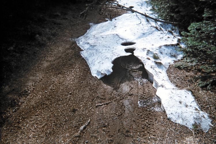
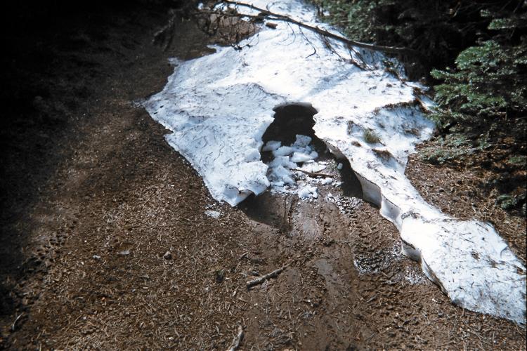
I could not resist kicking-in the snow
which prevented driving farther to my goal.

In the morning I traveled west, and, after maybe 30 minutes mistakenly went left at an unsigned junction. This was fine, however, as I found myself turning south and, while still on a broad yet snowy road, paralleling the north-south ridge containing the desired rock outcrop which was recently verified as the true county highpoint.

Leaving the road and climbing west, I shortly reached the ridge after maybe 300-400 feet of elevation gain. Now there was full snow coverage as I bushwhacked south to the rocky area, one that is simply not visible until within a few hundred feet. GPS seems essential.

The rock outcrop is most easily scaled starting on its north side. Then, one corkscrews clockwise to the east - eventually surmounting the summit boulders. It might be 40 vertical feet to the forest floor when peering down the south side.

It is unusual to have so much snow in late June.

snow perimeter
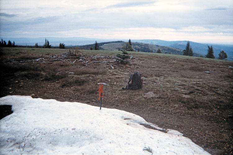
At snow's edge while exiting the ridgeline.