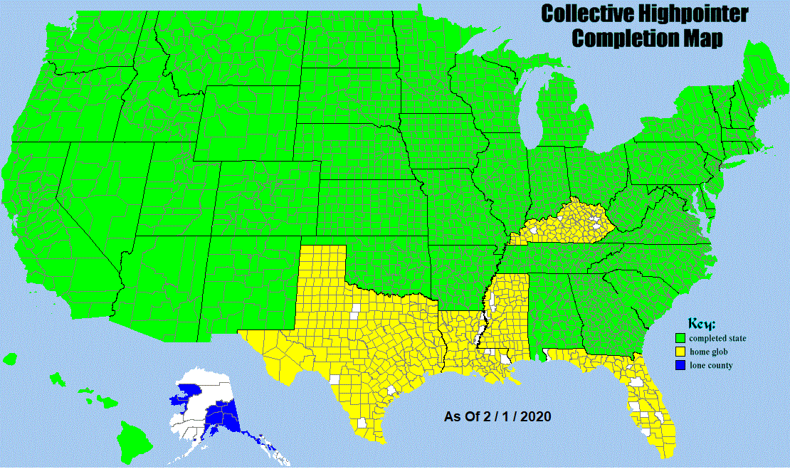
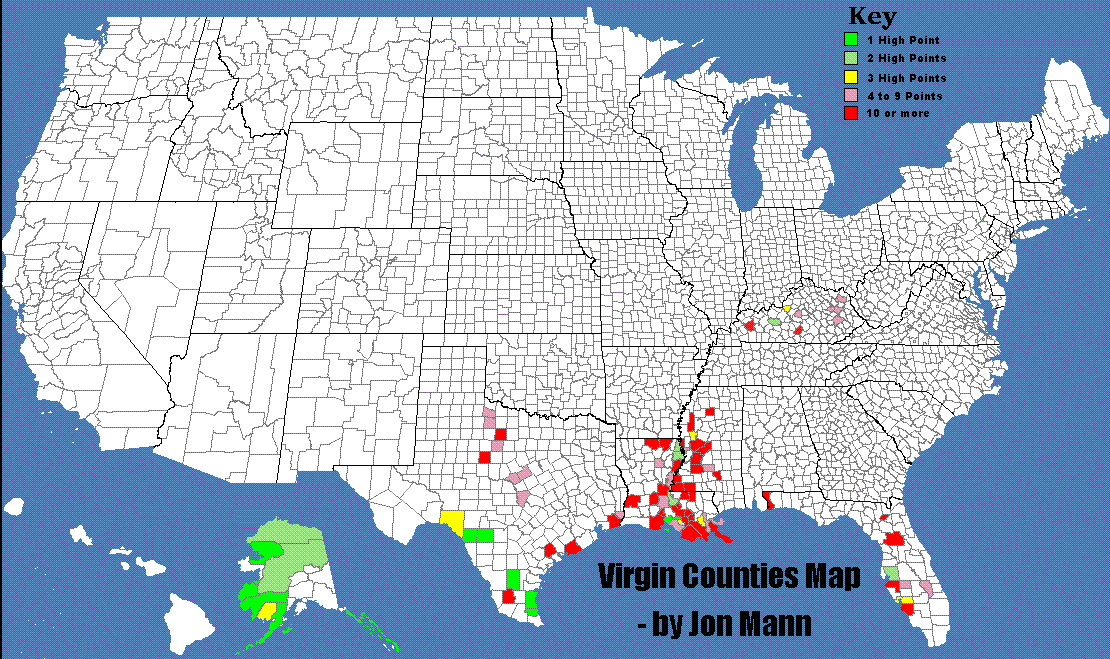
County Highpoint Information Maps

Welcome to the County Highpointers information map page. The following list both describes and provides hyperlinks to maps of an informational nature of interest to the county highpointing community. Certain links lead to lists rather than a map, and, in most cases, a corresponding map exists anyways.

Information Map Links

  • Large County Map   Produced by the United States Census Bureau, this map portrays
    all counties and their statistical equivalents (2.1 megabytes).

  • Google Earth Images   Google Earth is an amazing software application that must be
    seen to be appreciated.

    Links are provided to images for the county highpoints of most states;
    for regional collections of states; and for the entire contiguous USA.

    There are external links to other Google Earth images relevant to
    both highpointing and topographic prominence.

  • Interactive County Highpoint Map   Provided by Prof. David Kelley,
    clickable dots for each county highpoint are displayed atop a baseline
    topographic map that may be panned and zoomed at will.

  • Pinpoint Map   Red dots indicate county highpoints.
    By Dave Covill with assistance from several other highpointers.

  • Collective Highpointer Completion Map  

  • Virgin Counties Map   (multiple area color scheme on the map itself)

  • Multiple Highpoints Map   - by Jon Mann

  • Two-Fer Map   - by Ron Tagliapietra and Dave Covill
    Two-Fer Lists

  • Access Category Map               access category definitions
    A work in progress by Edward Earl that shows access restrictions by color code.
    E-mail him with highpoint access information after removing the ".county"
    portion of the address (present to foil web crawlers).

  • Ownership Category Map
    A work in progress by Ken Oeser that shows county highpoint ownership by color code.

  • First Ascent Map
    A work in progress by Ken Oeser that identifies first ascent highpointers by color code.

Elevation-Based Maps

  • Elevation Map   (color-coded in thousand foot intervals as described by a legend)
    - by Aaron Maizlish

  • Highest 50-100-150+ Elevation Map                     the corresponding lists
    A work by Dave Covill showing the highest 166 county highpoints in all fifty states
    (everything above 10,000 feet); and the highest 157 eastern highpoints (all above 3,000 feet)
    in color-coded groups of 50 counties.

  • High Five Map                     the corresponding list
    The five highest county highpoints in each state. The map is by Jerry Brekhus.
    For low-lying states there may be more than five counties due to matching elevations.

  • Low Five Map   (The five lowest county highpoints in each state.)
    - by Michael Schwartz

  • Elevation Gain Map                 elevation gain discussion and lists                 elevation gain rules
    A work in progress by Edward Earl using a definition of elevation gain
    determined as an "average" result after polling active county highpointers
    for their individual elevation gain definition preferences.

    E-mail him with elevation gain information after removing the ".county"
    portion of the address (present to foil web crawlers).

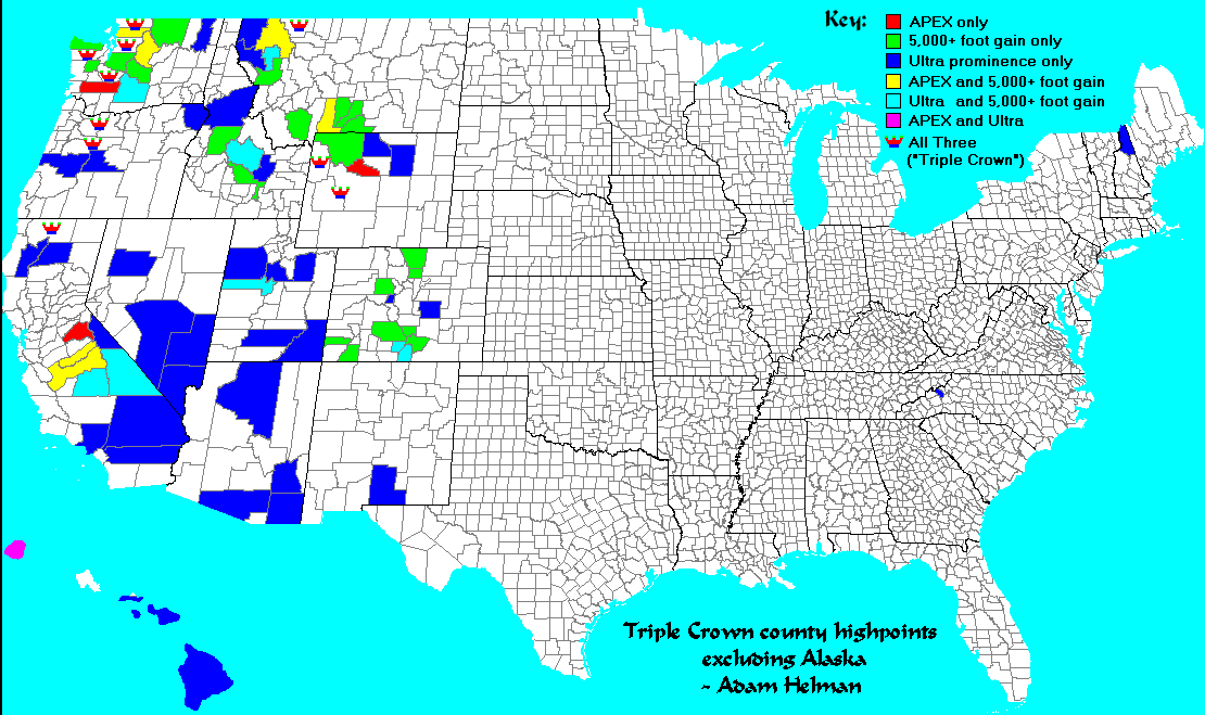
Prominence and Isolation-Based Maps

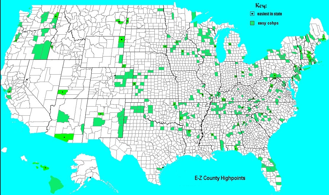
Difficulty-Based Maps

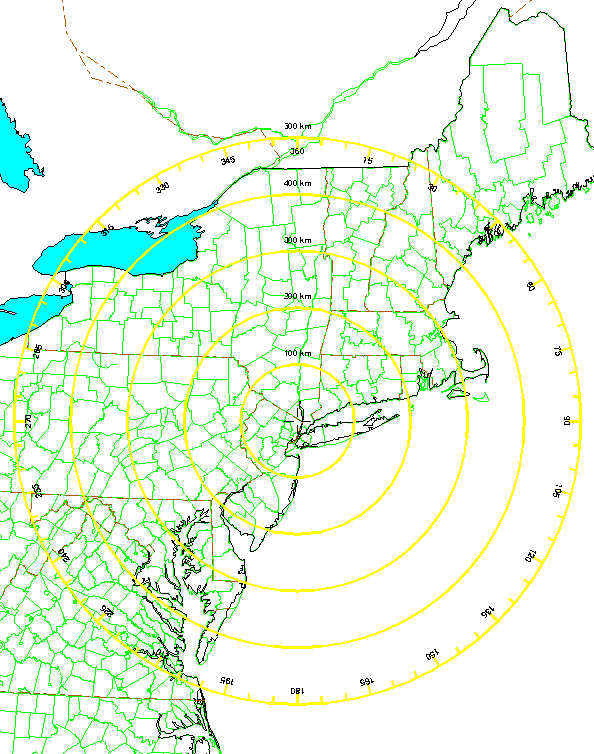
More Elevation-Based Maps
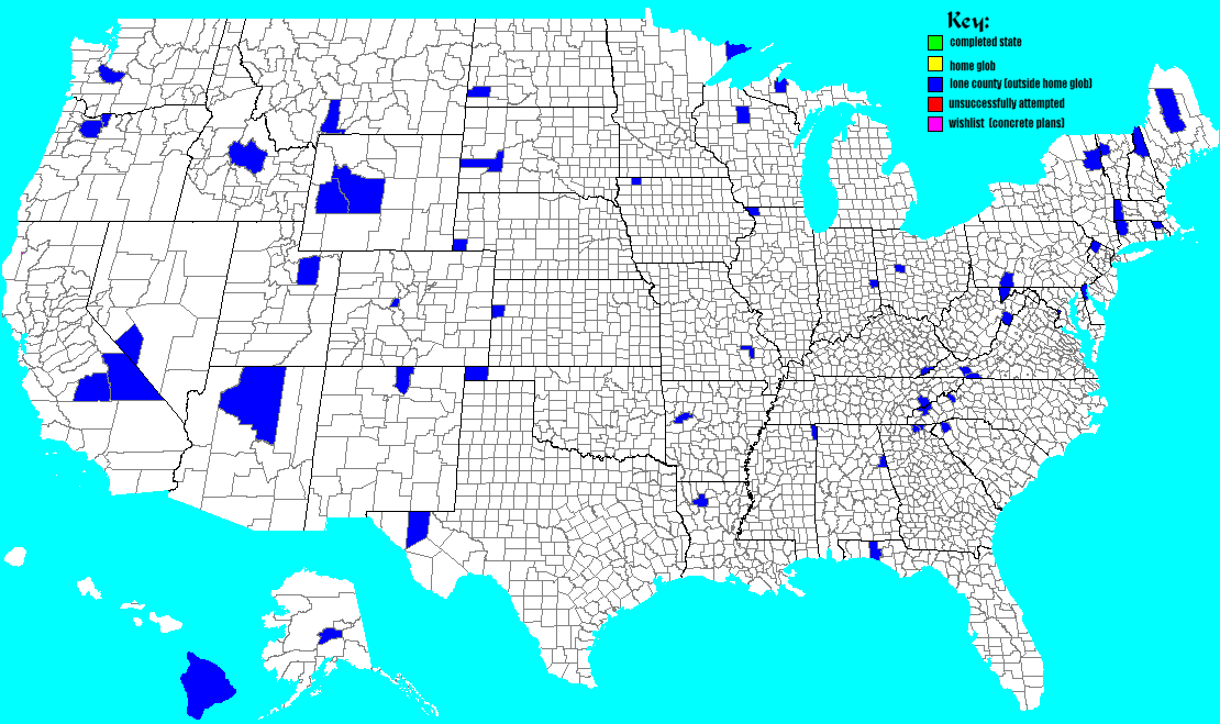
Miscellaneous Maps

    Azimuthal Equidistant Projections portray great circle routes as straight lines....

  • New York City   Scale is 50 km / centimeter. Distance circles are shown every
    100 km to 500 km. Compass bearings are superimposed.

  • northeastern USA   Scale is 100 km / centimeter.

  • North America   Scale is 400 km / centimeter.

  • World centered on Del Mar in San Diego County, California.
    Scale is 2,000 km / centimeter. Distance circles are shown every
    4,000 km to 20,000 km - the distance to the antipodal point off Madagascar
    in the Indian Ocean. Compass bearings are superimposed.


back to general map page view completion maps page