| County Highpointer Completion Maps |
|
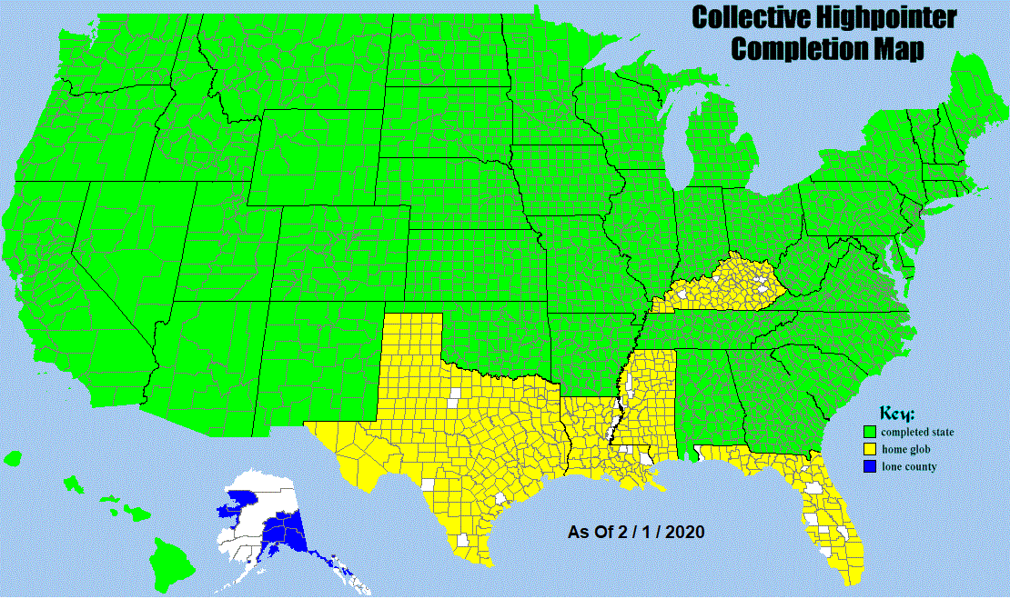
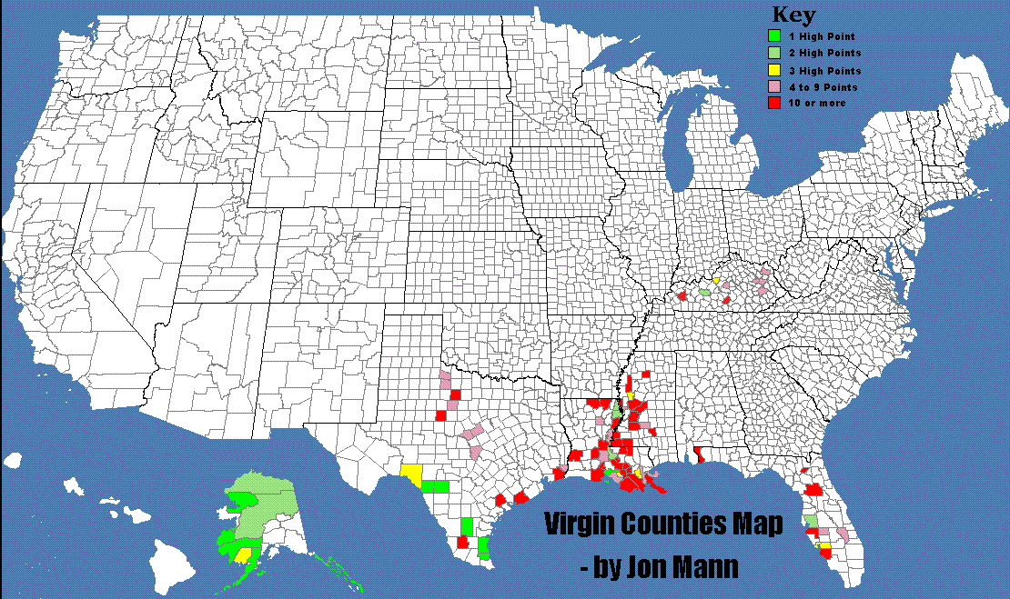
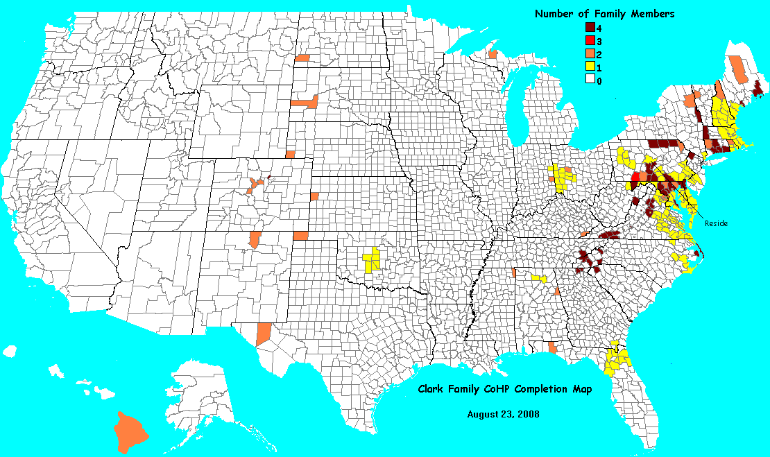
You are urged to read the key to coloring and interpreting completion maps prior to painting a new map or updating an existing one. In coloring a completion map the question may arise as to whether counties belong to the same "glob". Thereby the connectivity of counties is discussed from both theoretical and practical perspectives.
| Retrieve a blank map | Painting Instructions | E-mail a completed map |


 )
)
20% scale: A to Bh Bi to C Da to De Di to H I to Jobe John to K L to M N to R S to Z
Completion Map Index (by last name) order by date of last submission
 no account)
unused account)
statistics)
unused account)
statistics)
no account)
photo (atop Mauna Kea)
statistics)
summit photo collage
no account)
photo 1
photo 2
no account)
photo 1
photo 2
statistics)
no account)
no account)
photo (on Guadalupe Peak with father)
statistics)
statistics)
statistics)
no account)
no account)
photo 1 (Leon Peak (CO))
photo 2 (Vermilion Peak (CO))
statistics)
photo 1 (Leon Peak (CO))
photo 2 (Vermilion Peak (CO))
statistics)
statistics)
no account)
no account)
statistics)
statistics)
no account)
no account)
statistics)
statistics)
statistics)
no account)
no account)
no account)
no account)
statistics)
no account)
statistics)
no account)
no account)
statistics) (deceased)
no account)
no account)
no account)
statistics)
photo
statistics)
photo (Guadalupe Peak, Texas)
statistics)
statistics)
47 [no area] Florida
no account)
no account)
no account)
no account)
unused account)
statistics)
statistics)
photo (at Grand Canyon)
statistics)
no account)
photo after single-day 4-state finish (second from right)
statistics)
statistics)
no account)
statistics)
statistics)
no account)
no account)
statistics)
no account)
statistics)
group photo with Roxanne
no account)
no account)
statistics)
statistics)
no account)
statistics)
statistics)
statistics)
photo 1 (atop Gannett Peak (WY))
photo 2 (atop Longs Peak (CO))
statistics)
photo 1 (atop Rainier)
photo 2 (atop Shasta)
statistics)
statistics)
statistics)
no account)
no account)
statistics)
no account)
statistics)
statistics)
no account)
statistics)
Inverted Map
no account)
no account)
photo
no account)
photo (atop Kings Pk (UT))
statistics)
group photo with Bill
no account)
statistics)
statistics)
statistics)
statistics)
statistics)
statistics)
statistics)
statistics)
statistics)
no account)
no account)
photo
statistics)
unused account)
photo
no account)
statistics)
no account)
statistics)
no account)
no account)
no account)
statistics)
Jane & Conley atop San Gorgonio
statistics)
no account)
statistics)
statistics)
photo (under Ben Nevis)
no account)
photo (Jane (left) and Molly (right) Martin)
no account)
photo (Jane (left) and Molly (right) Martin)
1190 counties 1,637,337 sq miles
statistics) (deceased)
statistics)
photo (on Mount Shasta)
statistics)
unused account)
no account)
no account)
statistics)
406 334,855 unused account)
no account)
unused account)
statistics)
unused account)
statistics)
no account)
photo (atop Mauna Kea)
statistics)
summit photo collage
no account)
photo 1
photo 2
no account)
photo 1
photo 2
statistics)
no account)
no account)
photo (on Guadalupe Peak with father)
statistics)
statistics)
statistics)
no account)
no account)
photo 1 (Leon Peak (CO))
photo 2 (Vermilion Peak (CO))
statistics)
photo 1 (Leon Peak (CO))
photo 2 (Vermilion Peak (CO))
statistics)
statistics)
no account)
no account)
statistics)
statistics)
no account)
no account)
statistics)
statistics)
statistics)
no account)
no account)
no account)
no account)
statistics)
no account)
statistics)
no account)
no account)
statistics) (deceased)
no account)
no account)
no account)
statistics)
photo
statistics)
photo (Guadalupe Peak, Texas)
statistics)
statistics)
47 [no area] Florida
no account)
no account)
no account)
no account)
unused account)
statistics)
statistics)
photo (at Grand Canyon)
statistics)
no account)
photo after single-day 4-state finish (second from right)
statistics)
statistics)
no account)
statistics)
statistics)
no account)
no account)
statistics)
no account)
statistics)
group photo with Roxanne
no account)
no account)
statistics)
statistics)
no account)
statistics)
statistics)
statistics)
photo 1 (atop Gannett Peak (WY))
photo 2 (atop Longs Peak (CO))
statistics)
photo 1 (atop Rainier)
photo 2 (atop Shasta)
statistics)
statistics)
statistics)
no account)
no account)
statistics)
no account)
statistics)
statistics)
no account)
statistics)
Inverted Map
no account)
no account)
photo
no account)
photo (atop Kings Pk (UT))
statistics)
group photo with Bill
no account)
statistics)
statistics)
statistics)
statistics)
statistics)
statistics)
statistics)
statistics)
statistics)
no account)
no account)
photo
statistics)
unused account)
photo
no account)
statistics)
no account)
statistics)
no account)
no account)
no account)
statistics)
Jane & Conley atop San Gorgonio
statistics)
no account)
statistics)
statistics)
photo (under Ben Nevis)
no account)
photo (Jane (left) and Molly (right) Martin)
no account)
photo (Jane (left) and Molly (right) Martin)
1190 counties 1,637,337 sq miles
statistics) (deceased)
statistics)
photo (on Mount Shasta)
statistics)
unused account)
no account)
no account)
statistics)
406 334,855 unused account) 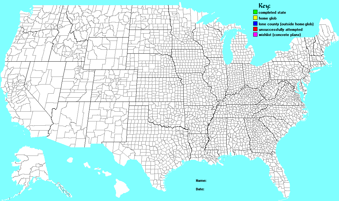