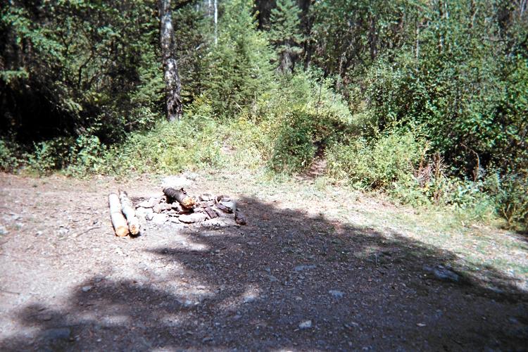
just behind a fire ring.
Date: August 23, 2010
Author: Adam Helman
|
|
|
The unmarked trailhead is just behind a fire ring. |
|
|
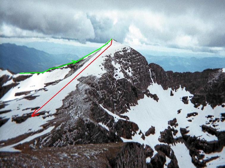
East Saint Marys Peak is climbed to reach Peak X. My ascent route is green, the descent in red. |
|
|
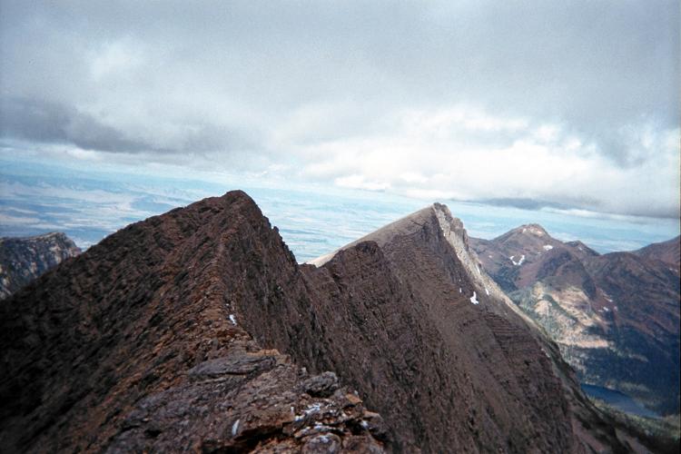
Peak Y is to the left in this view from Peak X's summit. |
|
|
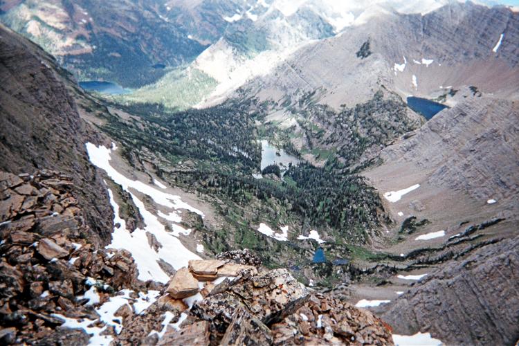
View 'straight down' from Peak X's summit to what must be a rarely visited valley. |