Skamania County Highpoint Trip Report

Date: July 5, 2009
Author: Adam Helman

participants include Dennis Poulin and Adam Helman

This effort was part of a larger journey collecting Idaho, Montana, and Washington county highpoints in late June and early July 2009.

Dennis had not been looking forward to this highpoint for several years, in-turn, presumably, because it provides zero prominence at considerable effort! After our recent success at Bonanza Peak, however, our climb partway up Mount Adams would be comparatively easy.

We arrive early the previous afternoon, around 2 p.m., and enjoy fresh watermelon and chips with salsa as a makeshift Independence Day affair on my tailgate. Later, I bury the remaining half melon in a snowdrift, having used Dennis' shovel. It will be most appreciated after our climb in the day's heat!

We are at the Divide Trail trailhead, some two road miles beyond the campground at Taklakh Lake and as accessed via FR23 from both south and north. I obtain WGS84 coordinates (46.26921° N, 121.57883° W), elevation 4,715 feet. Hence the net gain for our climb is just over 4,200 feet.

We arise at the ungodly hour of 3:45 a.m. with the barest hints of dawn to the northeast, beginning early to mitigate soft snow on our descent. Starting up-trail at 4:31 a.m., we are hampered by a combination of low light and snow which forces us to stop and locate boot prints to remain on-track.

The Divide Trail / Pacific Crest Trail (PCT) junction is reach by six o'clock, and we take a well-deserved rest there. I obtain WGS84 coordinates (46.24060° N, 121.54540° W), elevation 6,030 feet. I am uncharacteristically tired, and eat one-half a blueberry cream pastry, intended for sharing with Dennis at the summit, for more energy.

We eschew the PCT in favor of a cross-country route more directly aimed at our goal. The first 500 hundred vertical feet is quite gentle. Then we leave the final trees and negotiate a combination of volcanic talus and snowfields. At roughly 7,000 feet we take a break, spy our desired ridge, and plan our method of approach. The second half is enjoyed with dark chocolate and marshmallows.

We generally stick to snow, and meet the ridge at WGS84 (46.20413° N, 121.53415° W), elevation 7,969 feet. Here we cache crampons, and yet I retain my ice axe in-case lingering snow must be crossed. Another snack.

The volcanic rock is unerringly tricky and dangerous. It is only one-half horizontal mile - but over a thousand vertical feet. I get ahead of Dennis, and, while waiting, take a reading of some 8,800 feet. This keys us into how far we must continue, while avoiding needless effort through the knowledge that only an estimated 150 vertical feet is yet required...

Did I mention that it is windy on this ridge?

Views of Mount Saint Helens, Mount Hood, and Rainier compensate for this annoyance.

I climb higher than required, stopping at WGS84 (46.20322° N, 121.52304° W), elevation 9,003 feet. Then I backtrack to stop at a minor depression in the rocks, so making a good, relatively wind-free spot for our lunch break.

Salt and vinegar are my favorite flavor of potato chips - and go well with the summer sausage. Dennis gets some, and in addition to (!) what appears to be habitually included with his own summit food: an entire, juicy green apple.

Leave we must, despite superb views. We are fortunate with growing cloud-cover, evidently just over Mount Adams but not elsewhere. Once at our crampon cache we head northwest towards the Divide Trail / PCT junction. To that end, simply head directly towards Mount Rainier. Rainier has a symmetrical lenticular cloud, and we are both glad to not be THERE with a summit attempt as the winds must be extreme.

We return to our trailhead around 2 p.m. for a 9 1/2 hour round-trip. Dennis has a long way to drive home, as Medford Oregon; while I only plan to remain in south Washington for the next county highpoint. He drives before I am ready to share the remaining watermelon. Dennis - it was worth waiting five or ten more minutes.

watermelon
Our little watermelon is buried
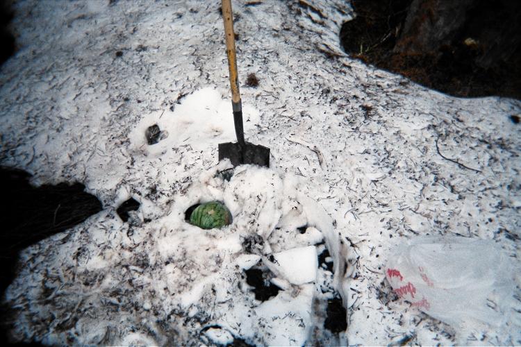
in the snow to keep it refreshingly cold
for both Independence Day and after our ascent.
(Mouse-click for detail.)