|
Vermont and Ontario October 2011 Trip Report © October 2011 Adam Helman |
| (Click on any image for enlargement.) |
|
|
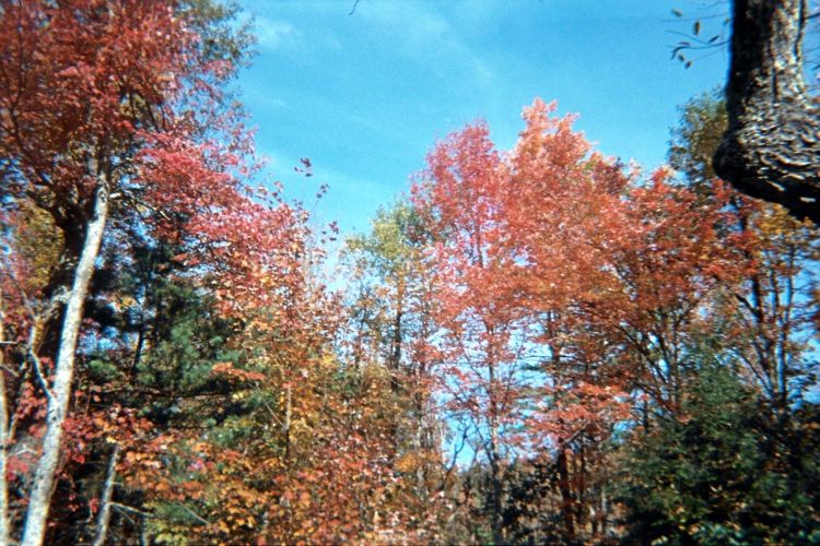
| Autumn colors at peak "leaf" season in northern Massachusetts. |
|
|
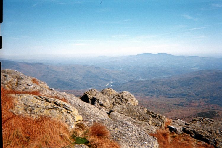
Northeast view with I-89 from Camels Hump summit. |
|
|
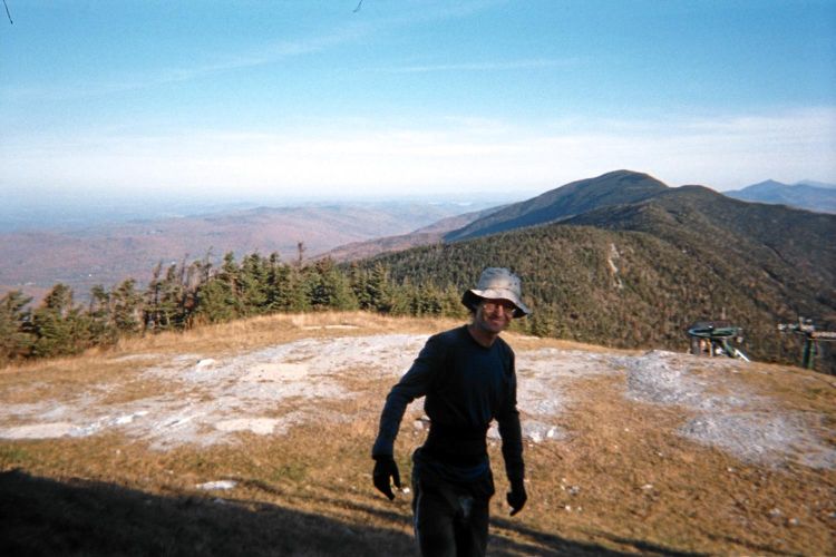
Adam and Mount Ellen as the most distant green mountain. |
|
|
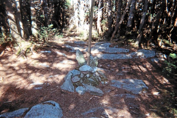
Mount Ellen cairn right ON the Long Trail. |
|
|
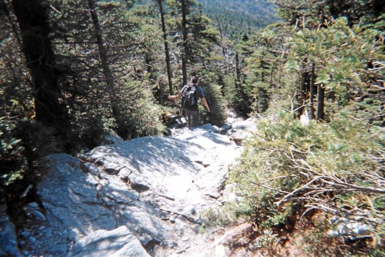
Boulder slabs while descending Mount Abraham. |
|
|
|
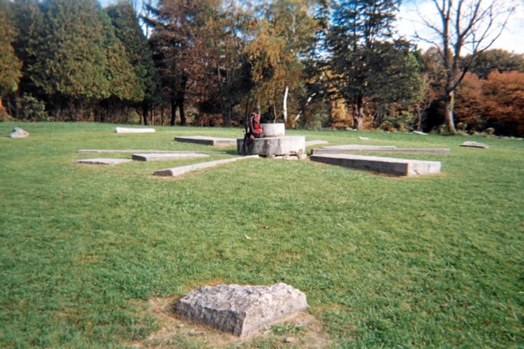
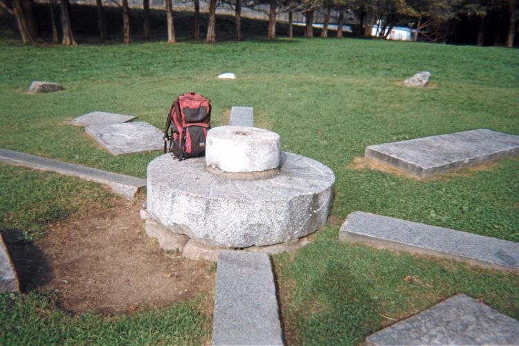
The Holt Hill solstice stones with daypack for scale. |
The outer circle has stones along 12 compass points - every 30 degrees. |
|
|
|
Trailhead sign at Middlesex County. Note the autumn colors. |
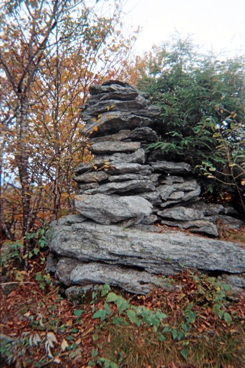
A large summit cairn 1,800 feet northwest of Crum Hill's named summit. |
|
|
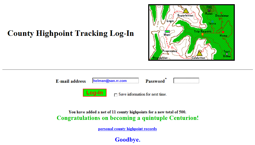
I am treated to this display at cohp.org after logging my New England ascents. |
|
|
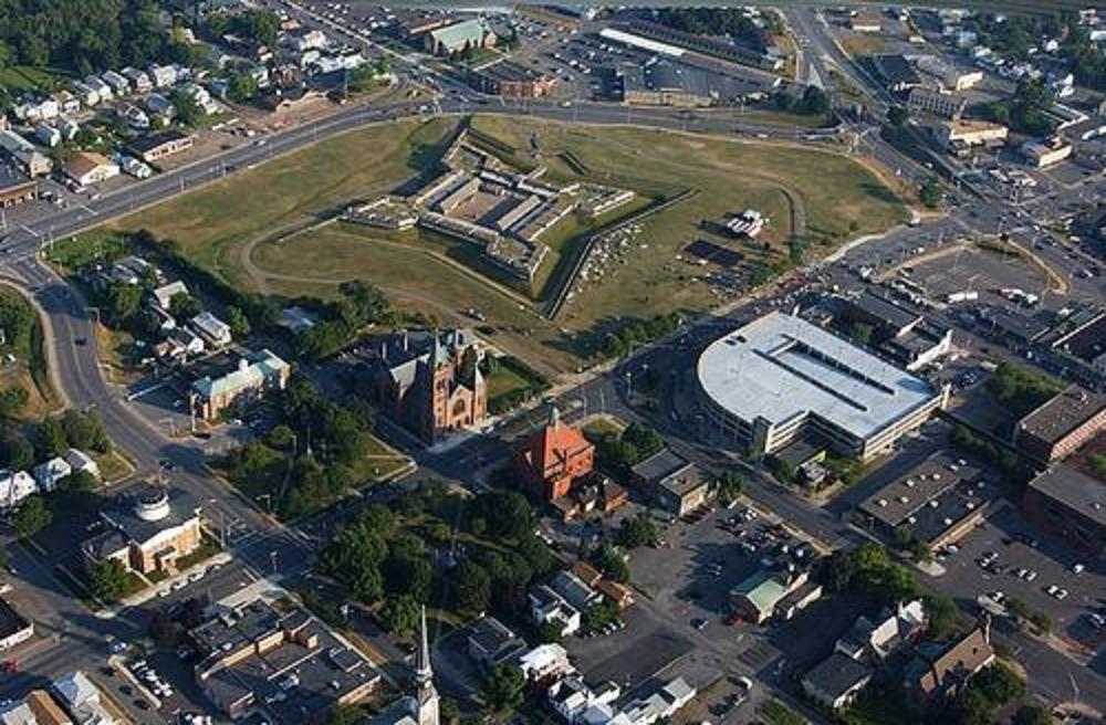
Fort Stanwix lies entirely inside Rome, New York. |
|
|
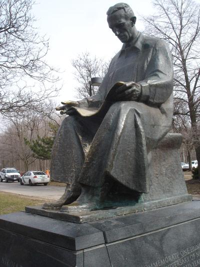
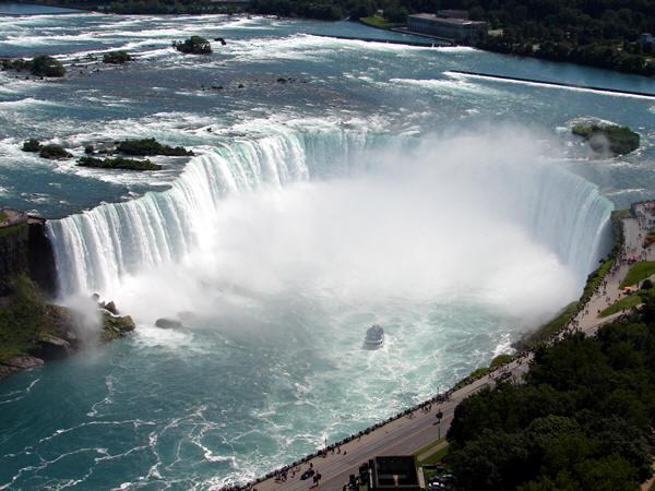
Nikola Tesla's polyphase alternating current designs changed the modern world beginning at Niagara Falls. |
|
|
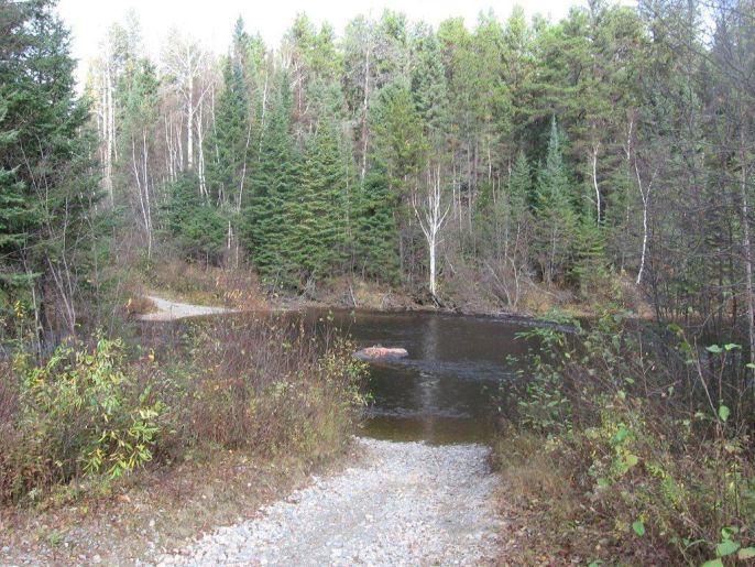
The river we MUST cross. (GS) |
| Monday, October 17 - Ishpatina Ridge | Greg's Ishpatina Ridge report |
|
|
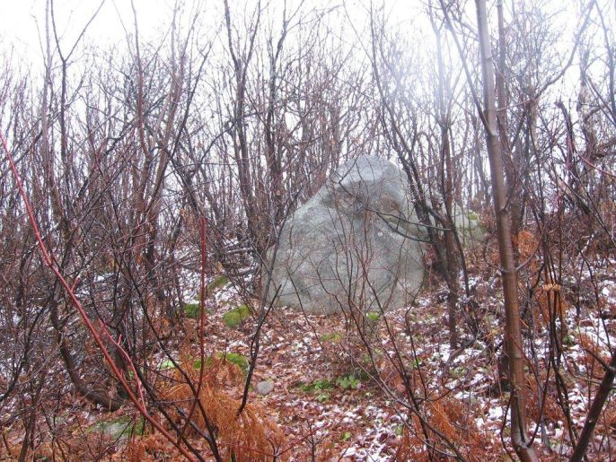
This boulder may very well be Ontario's highest natural ground. (GS) |
|
|
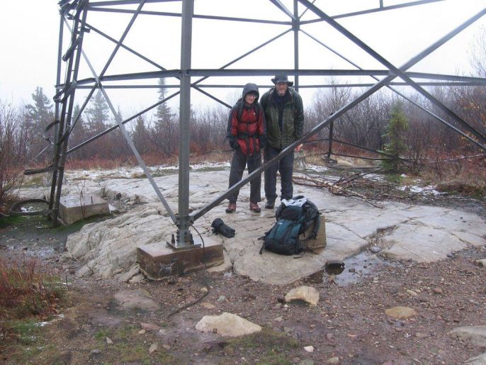
Greg (photo right) and Adam at the summit tower - it's COLD! (GS) |
|
|
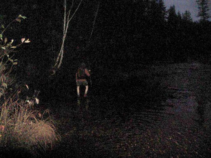
Adam crosses the river at dusk. Image is electronically altered to improve brightness and constrast (GS). |
|
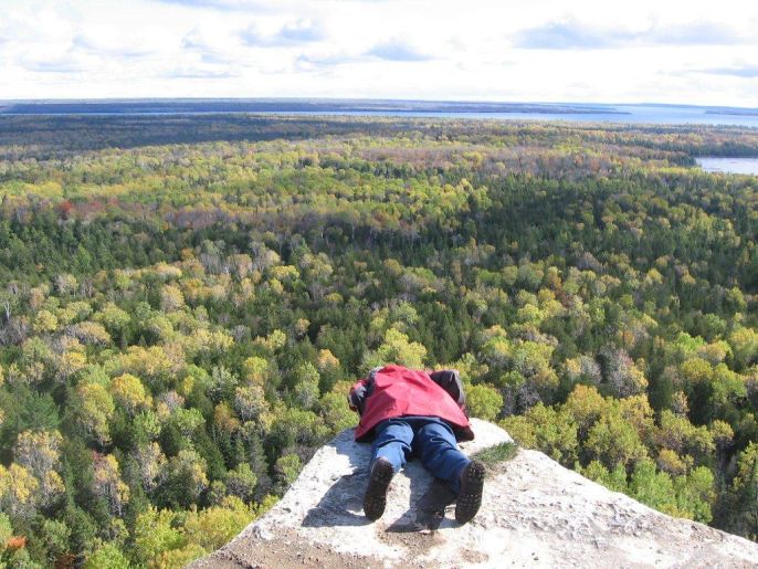
| Bob at a precipice on the Cup and Saucer hike. Don't push! (GS) |
|
|
Iconic Horseshoe (Canadian) Falls exceeds 2,000 feet in width and typically flows at over 600,000 gallons per second. |